Old Maps of Esmond Township, South Dakota for Metal Detecting
Plan your next treasure hunt with 24 historic maps of Esmond Township. Find old homesites, ghost towns, trails, and gathering spots that may be lost to time — perfect for identifying promising metal detecting locations.
- Locate forgotten sites: Uncover places like long-lost settlements, abandoned rail lines, or gathering spots.
- Plan better hunts: Use map overlays combined with LiDAR or satellite views to narrow in on historically rich areas.
- Made for detectorists: Thousands of hobbyists use these maps to discover relics, coins, and hidden history.
Use these historic maps to boost your research and find new opportunities beneath the surface of Esmond Township.
Esmond Township, SD maps
(24)- 1899 Map of De Smet
 1899 De Smet1899 Print · USGSEastern South Dakota in the 1890s appears as a landscape of rapid rail expansion and nascent prairie towns. You can trace early settlement patterns and transport hubs like De Smet, Carthage, and Iroquois along the Chicago and Northwestern R. R.2 unique versions available
 - 1953 Map of Watertown, 1968 Print
 1953 Watertown1968 Print · USGSEastern South Dakota and the Minnesota borderlands are captured here during the mid-twentieth century as the region's agricultural and rail-service centers thrived. Genealogists and local historians can trace family-named sites across the Coteau des Prairies and find landmarks in Watertown, De Smet, and Brookings.3 unique versions available
 - 1958 Map of Watertown
 1958 Watertown1958 Print · USGSThe eastern South Dakota prairie and the Minnesota borderlands are captured here in the late fifties, showcasing a landscape of terminal moraine lakes and burgeoning rail hubs. Genealogists and historians can trace the early paths of the Chicago and North Western railroad or locate family roots in Watertown, Clark, or the Sisseton Indian Reservation.2 unique versions available
 - 1971 Map of Iroquois, 1973 Print
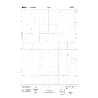
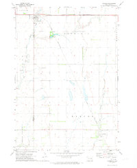 1971 Iroquois1973 Print · USGSIroquois and the surrounding prairie are captured here in the early seventies as established agricultural and rail hubs. Genealogists and local historians can trace the town layouts of Iroquois and Esmond or locate the Cemetery and Lake Iroquois campground.
 - 1971 Map of Artesian NE, 1973 Print
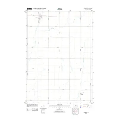
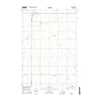
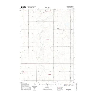
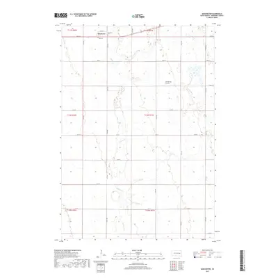
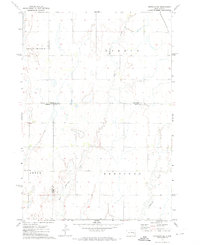 1971 Artesian NE1973 Print · USGSFour counties converge in this South Dakota agricultural landscape during the early seventies, centered on the drainage of the Redstone forks. Genealogists and local historians can locate the old Townhall and trace the route of the Chicago and North Western railroad through Afton and Esmond.
 - 1971 Map of Carthage, 1973 Print
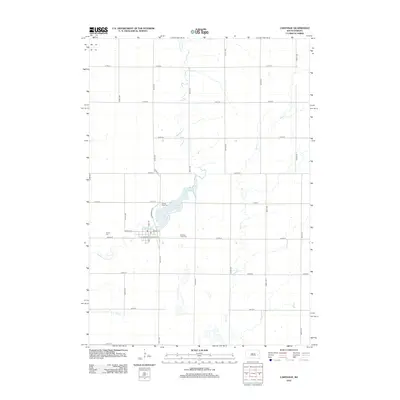
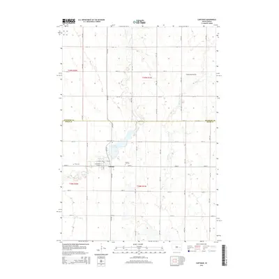
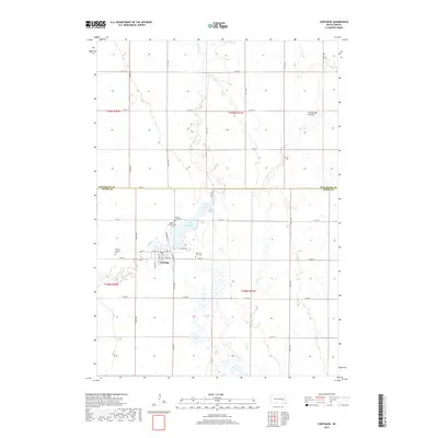
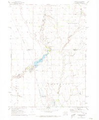 1971 Carthage1973 Print · USGSCarthage and its surrounding prairie townships are captured here in the early seventies during a period of agricultural stability. Researchers can locate family plots at Sacred Heart Cem or trace the Chicago and North Western rail route past Lake Carthage.
 - 1971 Map of Manchester, 1973 Print
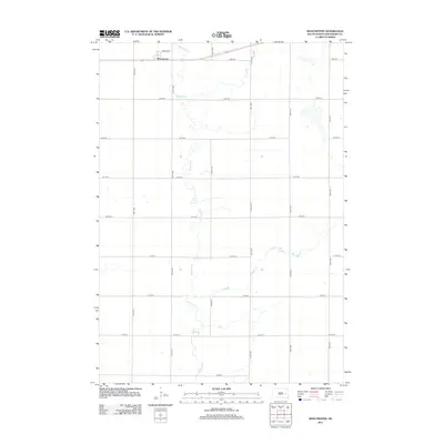
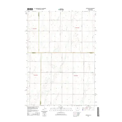
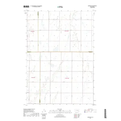
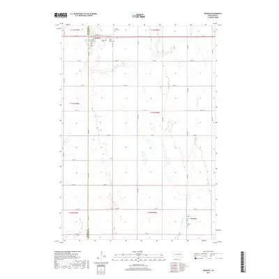
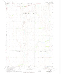 1971 Manchester1973 Print · USGSThe prairie landscape of Kingsbury County in the early seventies centers on the rail-side settlement of Manchester. Genealogists and historians can trace family farmsteads along Redstone Creek and the Chicago and North Western line.
 - 1985 Map of De Smet, 1986 Print
 1985 De Smet1986 Print · USGSEastern South Dakota in the mid-eighties shows a landscape of prairie rail towns and sprawling glacial lakes. Researchers can trace the routes of the Chicago and North Western through De Smet or locate communal sites like Pearl Creek Colony and Cloverleaf Colony.3 unique versions available
 - 2012 Map of Iroquois, 2012 Print
 2012 Iroquois2012 Print · USGSCovers Esmond Township, including Iroquois, Esmond, and other nearby areas
 - 2012 Map of Artesian NE, 2012 Print
 2012 Artesian NE2012 Print · USGSCovers Esmond Township, including Afton Township, Redstone Township, and other nearby areas
 - 2012 Map of Carthage, 2012 Print
 2012 Carthage2012 Print · USGSCovers Esmond Township, including Carthage, Redstone Township, and other nearby areas
 - 2012 Map of Manchester, 2012 Print
 2012 Manchester2012 Print · USGSCovers Esmond Township, including Manchester Township, Kingsbury County, and other nearby areas
 - 2015 Map of Iroquois, 2015 Print
 2015 Iroquois2015 Print · USGSCovers Esmond Township, including Iroquois, Esmond, and other nearby areas
 - 2015 Map of Artesian NE, 2015 Print
 2015 Artesian NE2015 Print · USGSCovers Esmond Township, including Afton Township, Redstone Township, and other nearby areas
 - 2015 Map of Carthage, 2015 Print
 2015 Carthage2015 Print · USGSCovers Esmond Township, including Carthage, Redstone Township, and other nearby areas
 - 2015 Map of Manchester, 2015 Print
 2015 Manchester2015 Print · USGSCovers Esmond Township, including Manchester Township, Kingsbury County, and other nearby areas
 - 2017 Map of Artesian NE, 2017 Print
 2017 Artesian NE2017 Print · USGSCovers Esmond Township, including Afton Township, Redstone Township, and other nearby areas
 - 2017 Map of Manchester, 2017 Print
 2017 Manchester2017 Print · USGSCovers Esmond Township, including Manchester Township, Kingsbury County, and other nearby areas
 - 2017 Map of Iroquois, 2017 Print
 2017 Iroquois2017 Print · USGSCovers Esmond Township, including Iroquois, Esmond, and other nearby areas
 - 2017 Map of Carthage, 2017 Print
 2017 Carthage2017 Print · USGSCovers Esmond Township, including Carthage, Redstone Township, and other nearby areas
 - 2021 Map of Iroquois, 2021 Print
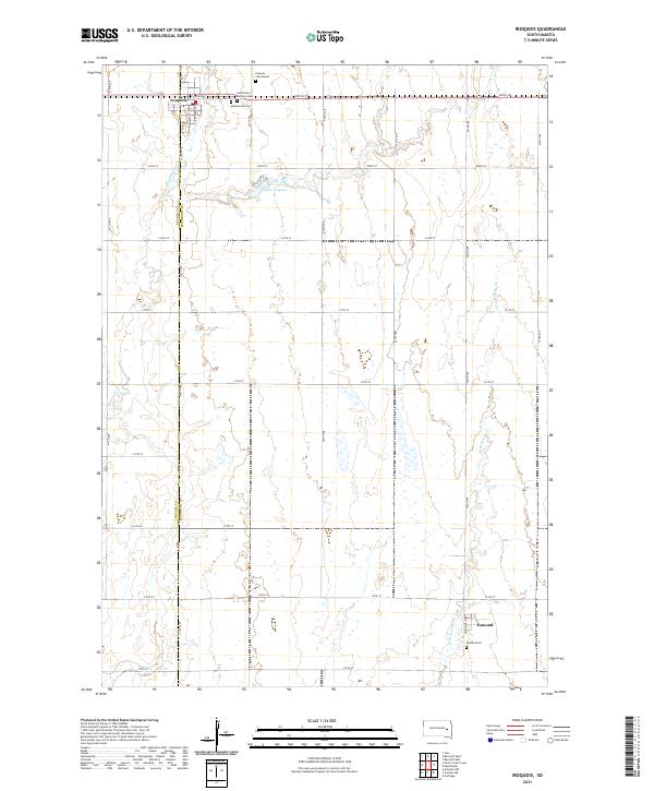 2021 Iroquois2021 Print · USGSIroquois and the surrounding prairie lands of Kingsbury and Beadle counties are shown here in the early twenty-first century. Genealogists can locate several rural burial sites including Maplewood Cem, Saint Paul's Catholic Cem, and the Esmond Cem near the southern settlement of Esmond.
 - 2021 Map of Manchester, 2021 Print
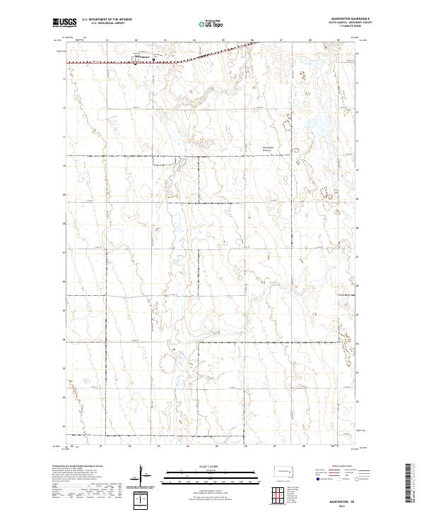 2021 Manchester2021 Print · USGSThe high prairie of Kingsbury County is captured here in the early twenty-first century, showing the enduring grid of South Dakota's farm country. Researchers can locate the site of Manchester and trace family heritage at Manchester Cem or Dow Cem along Redstone Cr.
 - 2021 Map of Artesian NE, 2021 Print
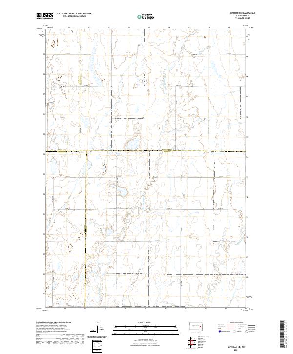 2021 Artesian NE2021 Print · USGSThe eastern South Dakota prairie comes into focus at the meeting of four counties during the early twenty-first century. Genealogists and historians can trace family land across township grids and watercourses like Redstone Cr and W Redstone Cr.
 - 2021 Map of Carthage, 2021 Print
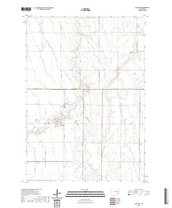 2021 Carthage2021 Print · USGSCarthage and the surrounding farmland on the Kingsbury and Miner county line are documented here in the early twenty-first century. Genealogists can pinpoint local landmarks including Sacred Heart Cem and Lake Carthage near the Redstone Creek drainage.
End of results
Showing maps 1-24 of 24
Top cities near Esmond Township
- De Smet historical maps
- Iroquois historical maps
- Carthage historical maps
- Yale historical maps
- Esmond historical maps
- Bancroft historical maps
Top neighborhoods of Esmond Township
Frequently asked questions
- What are the different types of historical maps available for Esmond Township?
- What is the oldest map of Esmond Township?
- Where can I purchase historical maps of Esmond Township for my home or office?
- Where can I download high-res historical maps of Esmond Township?
- Are there historical topographic maps available for Esmond Township?
- Is there historical aerial imagery available for Esmond Township?
- Where are historical maps of Esmond Township sourced from?