2000s (21st Century) Maps of Esmond Township, South Dakota
Explore 16 historic maps of Esmond Township from the 2000s (21st Century). These maps offer a rare glimpse into what life looked like during the 2000s — showing old roads, neighborhoods, homes, and landmarks that have changed or disappeared over time.
Whether you're researching your family's past, planning a metal detecting trip, or studying how Esmond Township's landscape evolved across the 2000s, these high-resolution maps are a powerful tool for exploring the history of this region.
- Focus on a specific era: All maps on this page are from the 2000s, giving you a focused view of this time period.
- See what’s changed: Compare century-old streets, trails, and buildings to today's modern landscape using overlays and satellite layers.
- Research with precision: Use these maps for genealogy, historical research, land use analysis, or educational projects.
- View, download, or print: Maps are fully viewable online in high resolution, and can be downloaded or printed for your own records.
Start exploring Esmond Township's history through authentic maps from the 2000s. This is your window into the past.
Esmond Township, SD maps
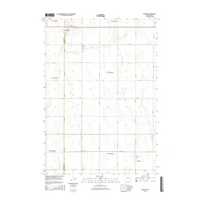
(16)- 2012 Map of Iroquois, 2012 Print
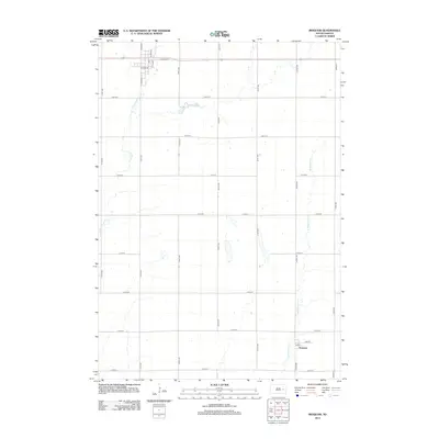 2012 Iroquois2012 Print · USGSCovers Esmond Township, including Iroquois, Esmond, and other nearby areas
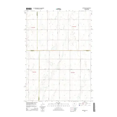
 - 2012 Map of Artesian NE, 2012 Print
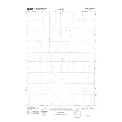 2012 Artesian NE2012 Print · USGSCovers Esmond Township, including Afton Township, Redstone Township, and other nearby areas
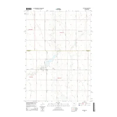
 - 2012 Map of Carthage, 2012 Print
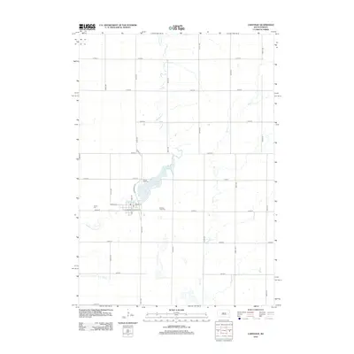 2012 Carthage2012 Print · USGSCovers Esmond Township, including Carthage, Redstone Township, and other nearby areas
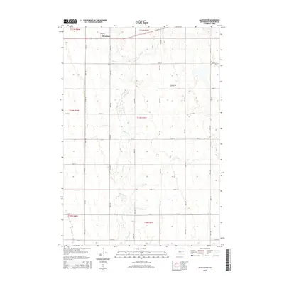
 - 2012 Map of Manchester, 2012 Print
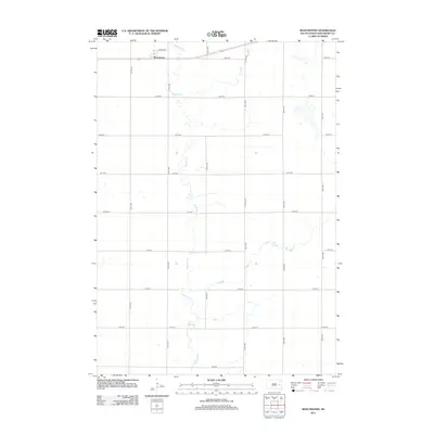 2012 Manchester2012 Print · USGSCovers Esmond Township, including Manchester Township, Kingsbury County, and other nearby areas
 - 2015 Map of Iroquois, 2015 Print
 2015 Iroquois2015 Print · USGSCovers Esmond Township, including Iroquois, Esmond, and other nearby areas
 - 2015 Map of Artesian NE, 2015 Print
 2015 Artesian NE2015 Print · USGSCovers Esmond Township, including Afton Township, Redstone Township, and other nearby areas
 - 2015 Map of Carthage, 2015 Print
 2015 Carthage2015 Print · USGSCovers Esmond Township, including Carthage, Redstone Township, and other nearby areas
 - 2015 Map of Manchester, 2015 Print
 2015 Manchester2015 Print · USGSCovers Esmond Township, including Manchester Township, Kingsbury County, and other nearby areas
 - 2017 Map of Artesian NE, 2017 Print
 2017 Artesian NE2017 Print · USGSCovers Esmond Township, including Afton Township, Redstone Township, and other nearby areas
 - 2017 Map of Manchester, 2017 Print
 2017 Manchester2017 Print · USGSCovers Esmond Township, including Manchester Township, Kingsbury County, and other nearby areas
 - 2017 Map of Iroquois, 2017 Print
 2017 Iroquois2017 Print · USGSCovers Esmond Township, including Iroquois, Esmond, and other nearby areas
 - 2017 Map of Carthage, 2017 Print
 2017 Carthage2017 Print · USGSCovers Esmond Township, including Carthage, Redstone Township, and other nearby areas
 - 2021 Map of Iroquois, 2021 Print
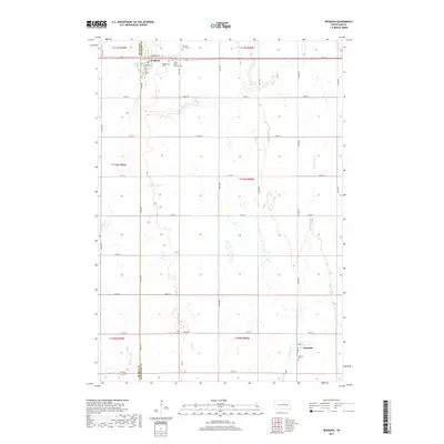
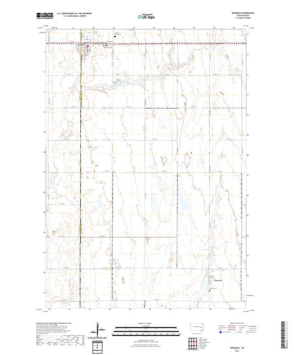 2021 Iroquois2021 Print · USGSIroquois and the surrounding prairie lands of Kingsbury and Beadle counties are shown here in the early twenty-first century. Genealogists can locate several rural burial sites including Maplewood Cem, Saint Paul's Catholic Cem, and the Esmond Cem near the southern settlement of Esmond.
 - 2021 Map of Manchester, 2021 Print
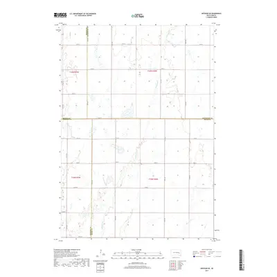
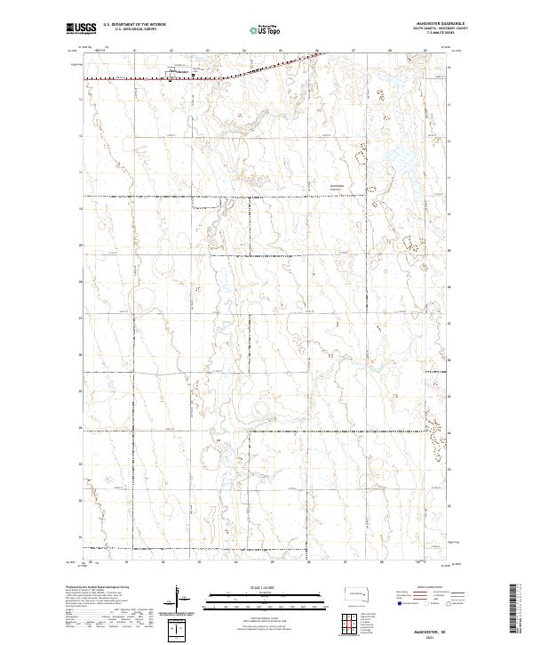 2021 Manchester2021 Print · USGSThe high prairie of Kingsbury County is captured here in the early twenty-first century, showing the enduring grid of South Dakota's farm country. Researchers can locate the site of Manchester and trace family heritage at Manchester Cem or Dow Cem along Redstone Cr.
 - 2021 Map of Artesian NE, 2021 Print
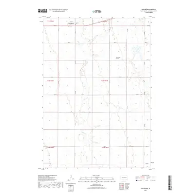
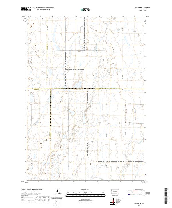 2021 Artesian NE2021 Print · USGSThe eastern South Dakota prairie comes into focus at the meeting of four counties during the early twenty-first century. Genealogists and historians can trace family land across township grids and watercourses like Redstone Cr and W Redstone Cr.
 - 2021 Map of Carthage, 2021 Print
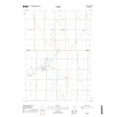
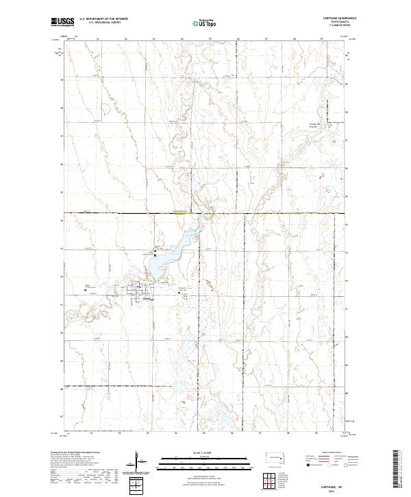 2021 Carthage2021 Print · USGSCarthage and the surrounding farmland on the Kingsbury and Miner county line are documented here in the early twenty-first century. Genealogists can pinpoint local landmarks including Sacred Heart Cem and Lake Carthage near the Redstone Creek drainage.
End of results
Showing maps 1-16 of 16
Top cities near Esmond Township
- De Smet historical maps
- Iroquois historical maps
- Carthage historical maps
- Yale historical maps
- Esmond historical maps
- Bancroft historical maps
Top neighborhoods of Esmond Township
Frequently asked questions
- What are the different types of historical maps available for Esmond Township?
- What is the oldest map of Esmond Township?
- Where can I purchase historical maps of Esmond Township for my home or office?
- Where can I download high-res historical maps of Esmond Township?
- Are there historical topographic maps available for Esmond Township?
- Is there historical aerial imagery available for Esmond Township?
- Where are historical maps of Esmond Township sourced from?