2000s (21st Century) Maps of Madison, Lakeview Township
Explore 16 historic maps of Madison from the 2000s (21st Century). These maps offer a rare glimpse into what life looked like during the 2000s — showing old roads, neighborhoods, homes, and landmarks that have changed or disappeared over time.
Whether you're researching your family's past, planning a metal detecting trip, or studying how Madison's landscape evolved across the 2000s, these high-resolution maps are a powerful tool for exploring the history of this region.
- Focus on a specific era: All maps on this page are from the 2000s, giving you a focused view of this time period.
- See what’s changed: Compare century-old streets, trails, and buildings to today's modern landscape using overlays and satellite layers.
- Research with precision: Use these maps for genealogy, historical research, land use analysis, or educational projects.
- View, download, or print: Maps are fully viewable online in high resolution, and can be downloaded or printed for your own records.
Start exploring Madison's history through authentic maps from the 2000s. This is your window into the past.
Madison, Lakeview Township maps
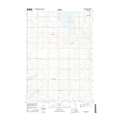
(16)- 2012 Map of Lake Herman, 2012 Print
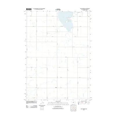 2012 Lake Herman2012 Print · USGSCovers Madison, including Orland, Clarno Township, and other nearby areas
 - 2012 Map of Lake Madison, 2012 Print
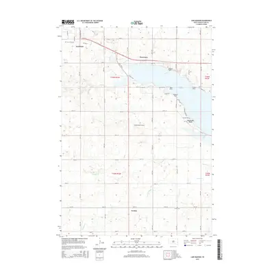
 2012 Lake Madison2012 Print · USGSCovers Madison, including Franklin, Franklin Township, and other nearby areas
 - 2012 Map of Madison, 2012 Print
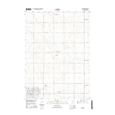
 2012 Madison2012 Print · USGSCovers Madison, including Nunda Township, Rutland Township, and other nearby areas
 - 2012 Map of Ramona, 2012 Print
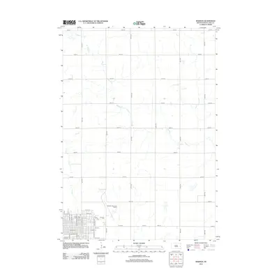
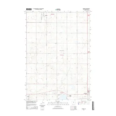
 2012 Ramona2012 Print · USGSCovers Madison, including Ramona, Wayne Township, and other nearby areas
 - 2015 Map of Madison, 2015 Print
 2015 Madison2015 Print · USGSCovers Madison, including Nunda Township, Rutland Township, and other nearby areas
 - 2015 Map of Ramona, 2015 Print
 2015 Ramona2015 Print · USGSCovers Madison, including Ramona, Wayne Township, and other nearby areas
 - 2015 Map of Lake Madison, 2015 Print
 2015 Lake Madison2015 Print · USGSCovers Madison, including Franklin, Franklin Township, and other nearby areas
 - 2015 Map of Lake Herman, 2015 Print
 2015 Lake Herman2015 Print · USGSCovers Madison, including Orland, Clarno Township, and other nearby areas
 - 2017 Map of Lake Madison, 2017 Print
 2017 Lake Madison2017 Print · USGSCovers Madison, including Franklin, Franklin Township, and other nearby areas
 - 2017 Map of Lake Herman, 2017 Print
 2017 Lake Herman2017 Print · USGSCovers Madison, including Orland, Clarno Township, and other nearby areas
 - 2017 Map of Ramona, 2017 Print
 2017 Ramona2017 Print · USGSCovers Madison, including Ramona, Wayne Township, and other nearby areas
 - 2017 Map of Madison, 2017 Print
 2017 Madison2017 Print · USGSCovers Madison, including Nunda Township, Rutland Township, and other nearby areas
 - 2021 Map of Lake Herman, 2021 Print
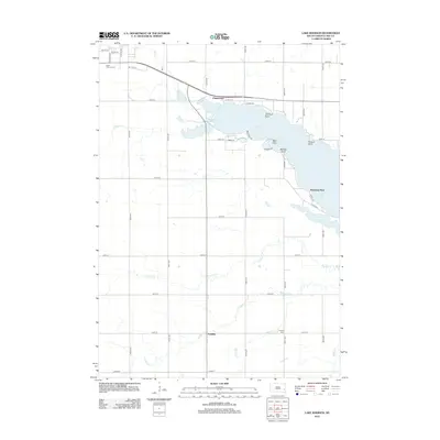
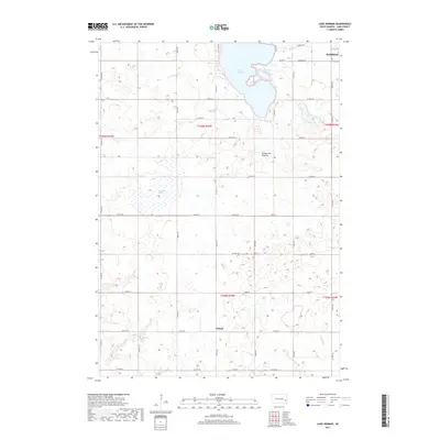
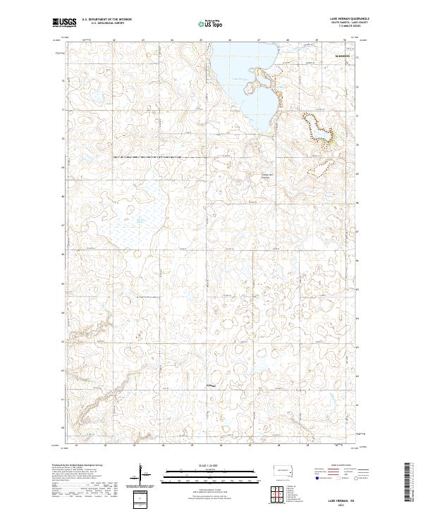 2021 Lake Herman2021 Print · USGSLake County's glacial landscape is captured here in the early twenty-first century, centered on the waters of the Coteau des Prairies. Genealogists and historians can locate the community of Orland and trace the local drainage of Silver Cr and Reynolds Slough.
 - 2021 Map of Lake Madison, 2021 Print
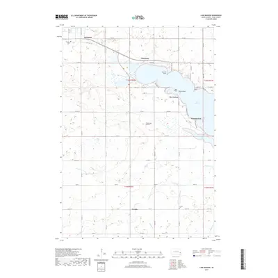
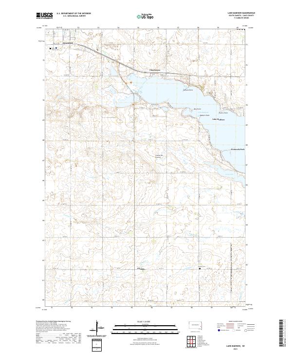 2021 Lake Madison2021 Print · USGSThe glacial waters of the Coteau des Prairies define this area of Lake County during the early twenty-first century. Genealogists and historians can trace the lakeside developments of Chautauqua and Walkers Point or locate family sites near Franklin Cem and Saint Thomas Cem.
 - 2021 Map of Madison, 2021 Print
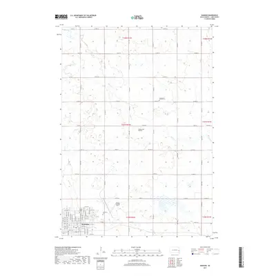
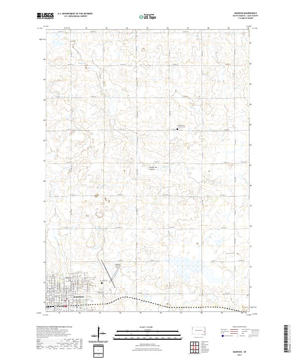 2021 Madison2021 Print · USGSMadison and the surrounding Lake County uplands are documented here in the early twenty-first century as the region continues its role as a regional educational and civic center. Researchers can locate Dakota State University, Graceland Cem, and the Lake County Courthouse.
 - 2021 Map of Ramona, 2021 Print
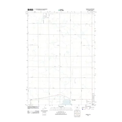
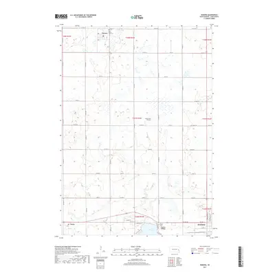
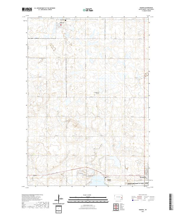 2021 Ramona2021 Print · USGSThe Lake County plains are captured here in the early twenty-first century, showing the rural grid surrounding Ramona and Junius. Genealogists and local historians can locate specific sites including Saint William Church Cem and the waters of Lake Herman.
End of results
Showing maps 1-16 of 16
Top cities near Madison
- Chester historical maps
- Colton historical maps
- Franklin historical maps
- Rutland historical maps
- Ramona historical maps
- Oldham historical maps
See more
Frequently asked questions
- What are the different types of historical maps available for Madison?
- What is the oldest map of Madison?
- Where can I purchase historical maps of Madison for my home or office?
- Where can I download high-res historical maps of Madison?
- Are there historical topographic maps available for Madison?
- Is there historical aerial imagery available for Madison?
- Where are historical maps of Madison sourced from?