2021 Map of Madison
USGS Topo · Published 2021About this map
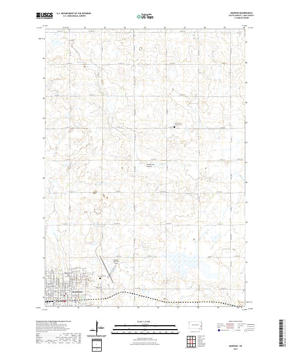
The city of Madison serves as the central hub of this Lake County landscape, positioned within the distinctive high plateau region of the Coteau des Prairies. This 2021 survey details the modern urban layout of the city, highlighting the campus of Dakota State University and the historic Lake County Courthouse at the heart of the community. The surrounding terrain is defined by a dense network of seasonal wetlands and small water bodies characteristic of this glacial upland, drained in part by Battle Cr and Park Cr.
Find a feature on this map
48 named features on this map. Tap any name to fly to it.
Don’t see what you’re looking for? This feature index may not catch every label — zoom into the map to look around manually.
Map Details
Editions of this 2021 Madison Map
This is the sole edition of this map. No revisions or reprints were ever made.
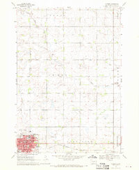
Historical Maps of Madison Through Time
Featured Locations
- Nunda Township, SD
- Rutland Township, SD
- Summit Township, SD
- Wentworth Township, SD
- Madison, Lakeview Township