Old Maps of Dayton Township, South Dakota for Academic Research
Study the evolution of Dayton Township with 27 high-resolution historic maps. Whether you're teaching, researching, or modeling changes in land use, these maps provide essential visual documentation of urban, environmental, and geographic change.
- Analyze long-term change: Track patterns in development, transportation, and natural features.
- Ideal for environmental or urban studies: Support academic projects with primary historical map data.
- Use in the classroom or lab: Educators and researchers rely on these maps to bring historical context to life.
These maps are a powerful tool for teaching, research, and visualizing how Dayton Township has changed over the decades.
Dayton Township, SD maps
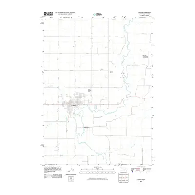
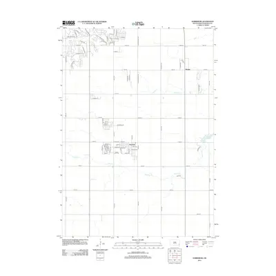
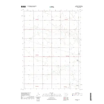
(27)- 1897 Map of Canton, 1954 Print
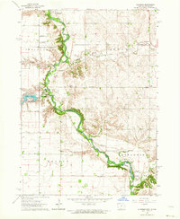
 1897 Canton1954 Print · USGSSoutheastern South Dakota and the Iowa borderlands were undergoing a railway-driven expansion during the 1890s. Genealogists and historians can trace early settlements like Beloit, Centerville, and Lennox as they grew along the Big Sioux River.
 - 1900 Map of Canton
 1900 Canton1900 Print · USGSSoutheastern South Dakota and the Iowa borderlands are captured here at a peak of late-nineteenth-century rail expansion. Genealogists can trace the early foundations of towns like Canton, Centerville, and Beresford along the Big Sioux River.2 unique versions available
 - 1955 Map of Sioux Falls, 1967 Print
 1955 Sioux Falls1967 Print · USGSThe eastern South Dakota and western Minnesota borderlands come alive in the mid-fifties, showing the vital rail-to-river connections of the era. Genealogists can trace family footprints across townships like Madison and Pipestone, while following the paths of the Big Sioux River and the Chicago and North Western line.3 unique versions available
 - 1958 Map of Sioux Falls
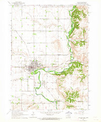
 1958 Sioux Falls1958 Print · USGSThe tri-state borderlands of South Dakota, Minnesota, and Iowa are captured here during the mid-century peak of the regional rail network. Genealogists and historians can trace local landmarks like Augustana Academy, the St Marys Cem, and the path of the Illinois Central through Rock Rapids.
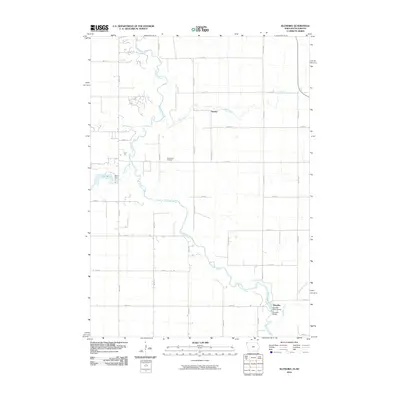
 - 1962 Map of Klondike, 1964 Print
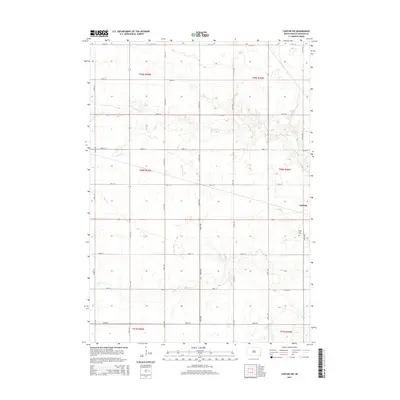
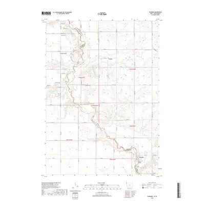
 1962 Klondike1964 Print · USGSThe Big Sioux River valley comes alive in the early sixties, showing the rural landscape where Iowa meets South Dakota. Trace family roots at Springdale Cem or locate old rail sidings in Granite and Klondike.
 - 1962 Map of Harrisburg, 1964 Print
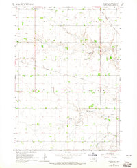
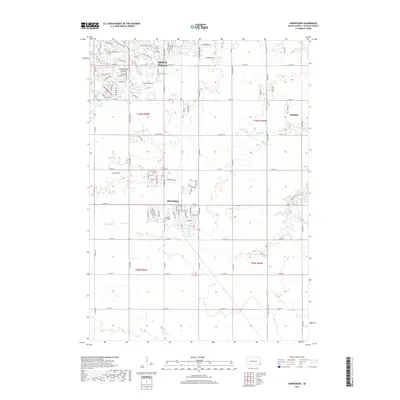
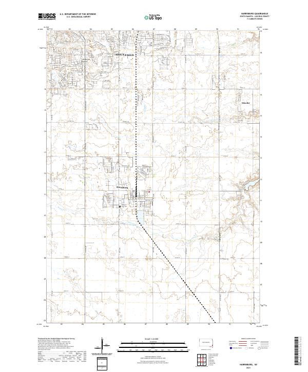
 1962 Harrisburg1964 Print · USGSHarrisburg and the surrounding Lincoln County townships are captured in the early 1960s, showing a prairie landscape still defined by rail lines and rural school districts. Researchers can find long-standing local landmarks like Pleasant View Cem, various country schoolhouses including Shindler Sch, and the recreation grounds at Lake Alvin.
 - 1962 Map of Canton, 1964 Print
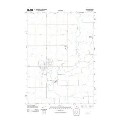
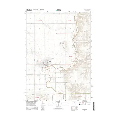
 1962 Canton1964 Print · USGSThe South Dakota and Iowa border comes alive in the early sixties as the Big Sioux River winds past bustling prairie towns. Genealogists can locate several rural schools and cemeteries, including Augustana Academy, Beloit Cem, and York Sch.2 unique versions available
 - 1964 Map of Canton SW, 1965 Print
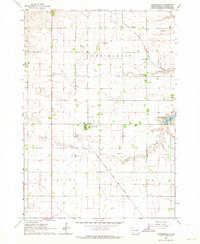
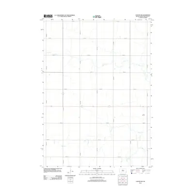
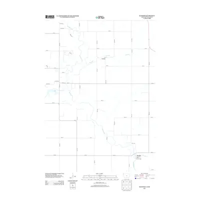
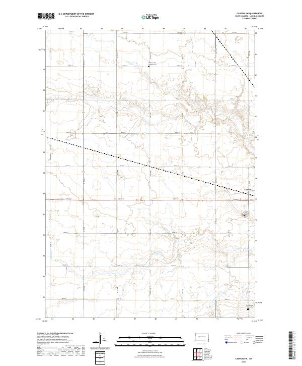
 1964 Canton SW1965 Print · USGSLincoln County townships such as Lynn and Dayton are shown here in the mid-1960s, still defined by a dense network of country schools and rail lines. Genealogists can locate family landmarks like Grand Valley Church, Forest Hill Cemetery, and Kerley School.
 - 1985 Map of Rock Rapids
 1985 Rock Rapids1985 Print · USGSThe borderlands of South Dakota and Iowa come into focus in the mid-1980s, centered on the fertile valleys of the Big Sioux River. Genealogists and researchers can trace rural homesteads near Rock Rapids, find Dordt College in Sioux Center, or locate old burial sites like Grace Hill Cem.2 unique versions available
 - 2010 Map of Canton, 2010 Print
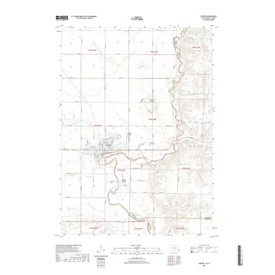
 2010 Canton2010 Print · USGSCovers Dayton Township, including Canton, Lyon Township, and other nearby areas
 - 2010 Map of Klondike, 2010 Print
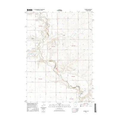
 2010 Klondike2010 Print · USGSCovers Dayton Township, including Klondike, Granite, and other nearby areas
 - 2012 Map of Canton SW, 2012 Print
 2012 Canton SW2012 Print · USGSCovers Dayton Township, including Canton, Highland Township, and other nearby areas
 - 2012 Map of Canton, 2012 Print
 2012 Canton2012 Print · USGSCovers Dayton Township, including Canton, Lyon Township, and other nearby areas
 - 2012 Map of Harrisburg, 2012 Print
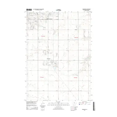
 2012 Harrisburg2012 Print · USGSCovers Dayton Township, including Sioux Falls, Harrisburg, and other nearby areas
 - 2013 Map of Klondike, 2013 Print
 2013 Klondike2013 Print · USGSCovers Dayton Township, including Klondike, Granite, and other nearby areas
 - 2015 Map of Canton, 2015 Print
 2015 Canton2015 Print · USGSCovers Dayton Township, including Canton, Lyon Township, and other nearby areas
 - 2015 Map of Canton SW, 2015 Print
 2015 Canton SW2015 Print · USGSCovers Dayton Township, including Canton, Highland Township, and other nearby areas
 - 2015 Map of Harrisburg, 2015 Print
 2015 Harrisburg2015 Print · USGSCovers Dayton Township, including Sioux Falls, Harrisburg, and other nearby areas
 - 2015 Map of Klondike, 2015 Print
 2015 Klondike2015 Print · USGSCovers Dayton Township, including Klondike, Granite, and other nearby areas
 - 2017 Map of Harrisburg, 2017 Print
 2017 Harrisburg2017 Print · USGSCovers Dayton Township, including Sioux Falls, Harrisburg, and other nearby areas
 - 2017 Map of Canton, 2017 Print
 2017 Canton2017 Print · USGSCovers Dayton Township, including Canton, Lyon Township, and other nearby areas
 - 2017 Map of Canton SW, 2017 Print
 2017 Canton SW2017 Print · USGSCovers Dayton Township, including Canton, Highland Township, and other nearby areas
 - 2018 Map of Klondike, 2018 Print
 2018 Klondike2018 Print · USGSCovers Dayton Township, including Klondike, Granite, and other nearby areas
 - 2021 Map of Canton SW, 2021 Print
 2021 Canton SW2021 Print · USGSLincoln County’s agricultural heartland is documented here in the early twenty-first century, showing the intersection of rural life and natural watercourses. Researchers can locate family landmarks like Beaver Creek Lutheran Cem, Forest Hill Cem, and the winding path of S Beaver Cr.
 - 2021 Map of Harrisburg, 2021 Print
 2021 Harrisburg2021 Print · USGSThe suburbs of southern Sioux Falls meet the agricultural plains of Lincoln County in this contemporary survey. Researchers can trace local landmarks like Pleasant View Cem and the small community of Shindler along Spring Cr.
Showing maps 1-25 of 27
Top cities near Dayton Township
- Sioux Falls historical maps
- Brandon historical maps
- Harrisburg historical maps
- Tea historical maps
- Canton historical maps
- Inwood historical maps
See more
Frequently asked questions
- What are the different types of historical maps available for Dayton Township?
- What is the oldest map of Dayton Township?
- Where can I purchase historical maps of Dayton Township for my home or office?
- Where can I download high-res historical maps of Dayton Township?
- Are there historical topographic maps available for Dayton Township?
- Is there historical aerial imagery available for Dayton Township?
- Where are historical maps of Dayton Township sourced from?