Old Maps of Kidder, South Dakota for Hiking & Exploration
Hike through history with 9 historic maps of Kidder. Explore old trails, ghost towns, and forgotten backroads — perfect for outdoor adventurers and local explorers.
- Rediscover forgotten places: Map out old mining camps, roads, and footpaths that no longer exist on modern maps.
- Layer with modern tools: Combine with LiDAR or satellite views to plan hikes through historical terrain.
- Made for exploration: Popular among hikers, overlanders, and local history lovers.
Use these maps to find adventure and explore the hidden past of Kidder.
Kidder, SD maps
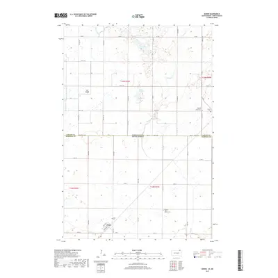
(9)- 1953 Map of Kidder, 1955 Print
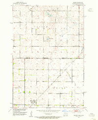 1953 Kidder1955 Print · USGSKidder and the surrounding townships sat at a critical railroad juncture in the early fifties along the North Dakota and South Dakota border. Genealogists and local historians can trace the foundations of this prairie community through landmarks like Pleasant Valley Ch and Holy Sepulcher Cem.2 unique versions available
 - 1953 Map of Milbank, 1958 Print
 1953 Milbank1958 Print · USGSThe tri-state border region of South Dakota, North Dakota, and Minnesota is shown here during the early fifties, a landscape defined by glacial lakes and the Sisseton Indian Reservation. Researchers can trace the legacy of the western railroads, locating old stops along the Great Northern and settlements like Milbank, Webster, and Sisseton.3 unique versions available
 - 1958 Map of Milbank
 1958 Milbank1958 Print · USGSThe northern Great Plains in the late fifties show a landscape of glacial lakes and reservation lands shaped by the Great Northern railroad. Genealogists and local historians can trace the grid of settlements from Britton to Milbank and locate landmarks like Enemy Swim Lake and the Sisseton Indian Reservation.
 - 1979 Map of Sisseton, 1980 Print
 1979 Sisseton1980 Print · USGSNortheastern South Dakota and the North Dakota borderlands appear here in the late seventies, centered on the high glacial plateau. Genealogists and historians can trace the Sisseton Indian Reservation and rail-stop towns like Britton and Lake City.
 - 2011 Map of Kidder, 2011 Print
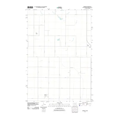 2011 Kidder2011 Print · USGSCovers Kidder, including Taylor Township, Weber Township, and other nearby areas
 - 2012 Map of Kidder, 2012 Print
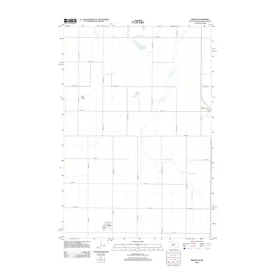 2012 Kidder2012 Print · USGSCovers Kidder, including Taylor Township, Weber Township, and other nearby areas
 - 2015 Map of Kidder, 2015 Print
 2015 Kidder2015 Print · USGSCovers Kidder, including Taylor Township, Weber Township, and other nearby areas
 - 2017 Map of Kidder, 2017 Print
 2017 Kidder2017 Print · USGSCovers Kidder, including Taylor Township, Weber Township, and other nearby areas
 - 2021 Map of Kidder, 2021 Print
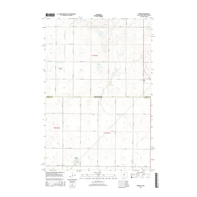
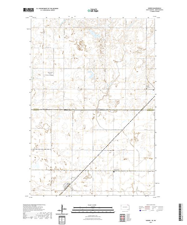 2021 Kidder2021 Print · USGSThe borderlands of North and South Dakota come alive in this 2021 record of a rural prairie community. Genealogists and historians can trace local family roots through sites like Kidder Cem, Pleasant Valley Lutheran Ch, and Kidder.
End of results
Showing maps 1-9 of 9
Top cities near Kidder
- Britton historical maps
- Forman historical maps
- Rutland historical maps
- Cogswell historical maps
- Havana historical maps
- Brampton Township historical maps
See more
Frequently asked questions
- What are the different types of historical maps available for Kidder?
- What is the oldest map of Kidder?
- Where can I purchase historical maps of Kidder for my home or office?
- Where can I download high-res historical maps of Kidder?
- Are there historical topographic maps available for Kidder?
- Is there historical aerial imagery available for Kidder?
- Where are historical maps of Kidder sourced from?