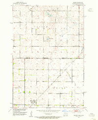
1953 Map of Kidder
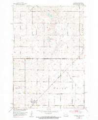
USGS Topo · Published 1955About this map
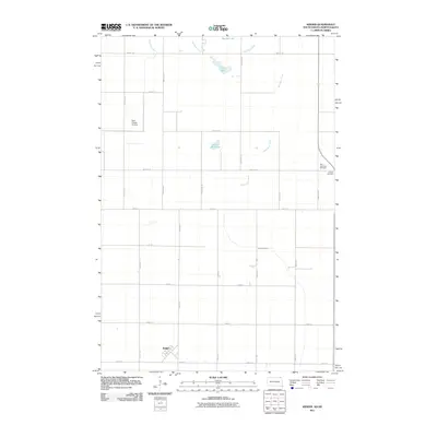
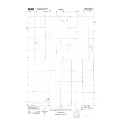
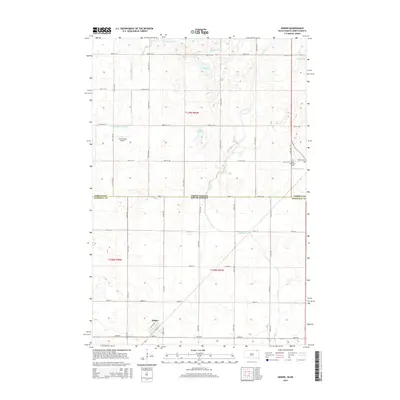
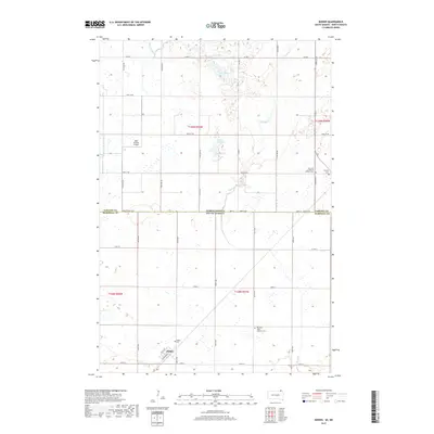
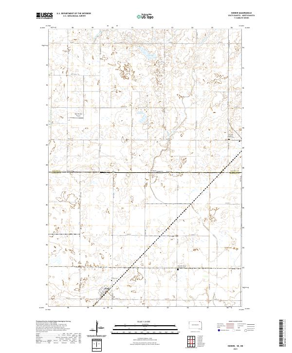
The Great Northern railway line bisects this prairie landscape as it cuts through the town of Kidder. This early 1950s survey documents the rural character of the borderlands between Sargent County, North Dakota, and Marshall County, South Dakota. The survey reveals a community organized around rural education and faith, featuring several district schoolhouses including School No. 1 and School No. 3, as well as Pleasant Valley Ch. The hydrological network is dominated by the winding path of the Wild Rice River and Rice Creek, alongside distinctive prairie water bodies like Lake Ides Dell, Golden Hill Lake, and the marshy Johnson Slough to the east. For genealogists, the map provides precise locations for the Holy Sepulcher Cem and Clayton Cem, marking the enduring sites of early settlement in the Newark and White townships.
Find a feature on this map
20 named features on this map. Tap any name to fly to it.
Don’t see what you’re looking for? This feature index may not catch every label — zoom into the map to look around manually.
Map Details
Editions of this 1953 Kidder Map
2 editions found
Historical Maps of Taylor Township Through Time
6 maps found