Loading...
Loading map...1953 Map of Kidder
USGS Topo · Published 1990About this map
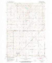
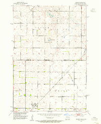
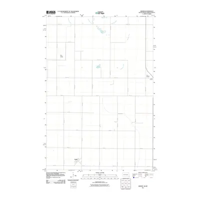
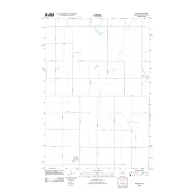
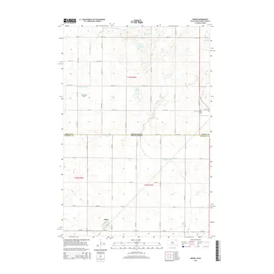
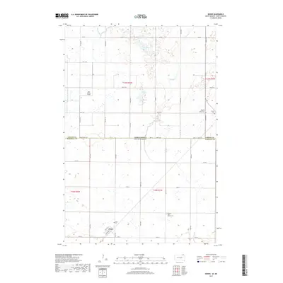
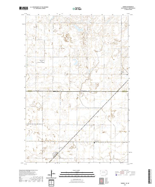
Kidder and the surrounding borderlands of Sargent and Marshall counties are defined by a high concentration of prairie potholes and small glacial lakes. The Wild Rice River meanders across the state line, accompanied by a notable spoil bank that suggests early hydrological management or channelization efforts. The small community of Kidder is situated along the Great Northern railroad, which served as the primary transit corridor for this agricultural region during the mid-20th century.
Find a feature on this map
19 named features on this map. Tap any name to fly to it.
Don’t see what you’re looking for? This feature index may not catch every label — zoom into the map to look around manually.
Map Details
Date Portrayed1953
Date Published1990
PublisherU.S. Geological Survey
Map TypeTopographic
Scale1:24,000
Physical Dimensions22 x 26.9 inches
Editions of this 1953 Kidder Map
2 editions found
Historical Maps of Taylor Township Through Time
6 maps found
Featured Locations
Source Details
SourceU.S. Geological Survey
CopyrightPublic Domain