Old Maps of Mud Butte, South Dakota for Metal Detecting
Plan your next treasure hunt with 8 historic maps of Mud Butte. Find old homesites, ghost towns, trails, and gathering spots that may be lost to time — perfect for identifying promising metal detecting locations.
- Locate forgotten sites: Uncover places like long-lost settlements, abandoned rail lines, or gathering spots.
- Plan better hunts: Use map overlays combined with LiDAR or satellite views to narrow in on historically rich areas.
- Made for detectorists: Thousands of hobbyists use these maps to discover relics, coins, and hidden history.
Use these historic maps to boost your research and find new opportunities beneath the surface of Mud Butte.
Mud Butte, SD maps
(8)- 1954 Map of Lemmon, 1964 Print
 1954 Lemmon1964 Print · USGSThe high plains of South Dakota and North Dakota are documented here during the mid-twentieth century. Family researchers can trace dozens of country school sites like Green Cabin School and Bierke School alongside landmarks like The Castles.2 unique versions available
 - 1957 Map of Lemmon
 1957 Lemmon1957 Print · USGSThe northwestern plains of South Dakota and North Dakota are captured here in the mid-fifties, centered on the rail hub of Lemmon. Genealogists and historians can trace dozens of rural schoolhouses and vanished sites like Imogene and the Shadehill Reservoir area.
 - 1980 Map of Beverly Creek, 1981 Print
 1980 Beverly Creek1981 Print · USGSWest of the Moreau River in the early 1980s, this region captures the high plains at the meeting point of three counties. Genealogists and historians can trace the isolated settlement at Mud Butte and rural road networks near Beverly Creek and Cabin Creek.
 - 1984 Map of Faith
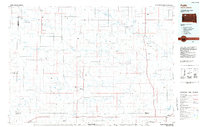 1984 Faith1984 Print · USGSWestern South Dakota's open plains and river breaks appear here in the mid-1980s, centered on the ranching country around Faith. Researchers can trace remote settlements and essential water infrastructure like Sorum, Bixby Gaging Station, and Mourine Lake.3 unique versions available
 - 2012 Map of Mud Creek, 2012 Print
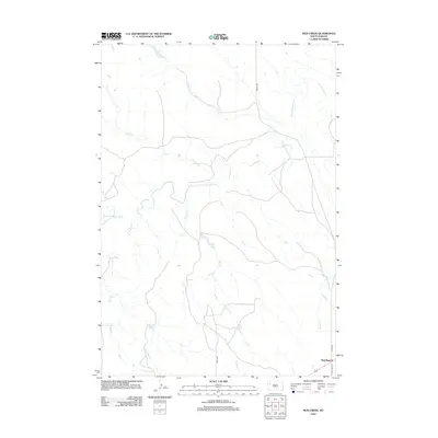 2012 Mud Creek2012 Print · USGSMeade County, South Dakota, is captured here in the early twenty-first century, showcasing a landscape of winding prairie rivers and rural outposts. Genealogists and local researchers can trace the roads around Mud Butte and follow the drainage of the S Fork Moreau River and Mud Cr.
 - 2015 Map of Mud Creek, 2015 Print
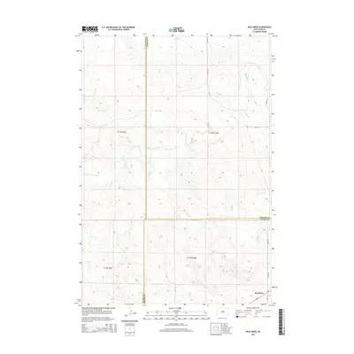 2015 Mud Creek2015 Print · USGSThe tri-county boundary where Butte, Perkins, and Meade Counties meet is captured here in the mid-2010s. Genealogists and local historians can trace the course of the S Fork Moreau River and find the small settlement of Mud Butte along Old 212.
 - 2017 Map of Mud Creek, 2017 Print
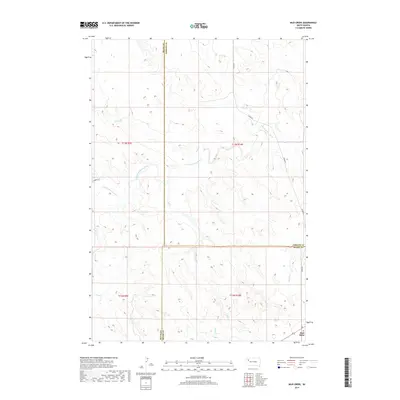 2017 Mud Creek2017 Print · USGSThe ranchlands of western South Dakota are captured here in the late 2010s at the junction of three counties. You can trace the rural landscape around Mud Butte and follow the riparian corridor of the S Fork Moreau River along Zeona Rd.
 - 2021 Map of Mud Creek, 2021 Print
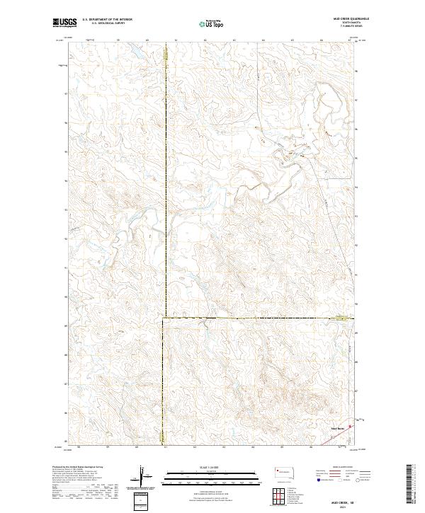 2021 Mud Creek2021 Print · USGSWestern South Dakota's high plains are documented in this recent survey, centered on the tri-county junction of Butte, Perkins, and Meade. Researchers can trace the path of the South Fork Moreau River and locate the small settlement of Mud Butte near the intersection of Old 212.
End of results
Showing maps 1-8 of 8
Frequently asked questions
- What are the different types of historical maps available for Mud Butte?
- What is the oldest map of Mud Butte?
- Where can I purchase historical maps of Mud Butte for my home or office?
- Where can I download high-res historical maps of Mud Butte?
- Are there historical topographic maps available for Mud Butte?
- Is there historical aerial imagery available for Mud Butte?
- Where are historical maps of Mud Butte sourced from?