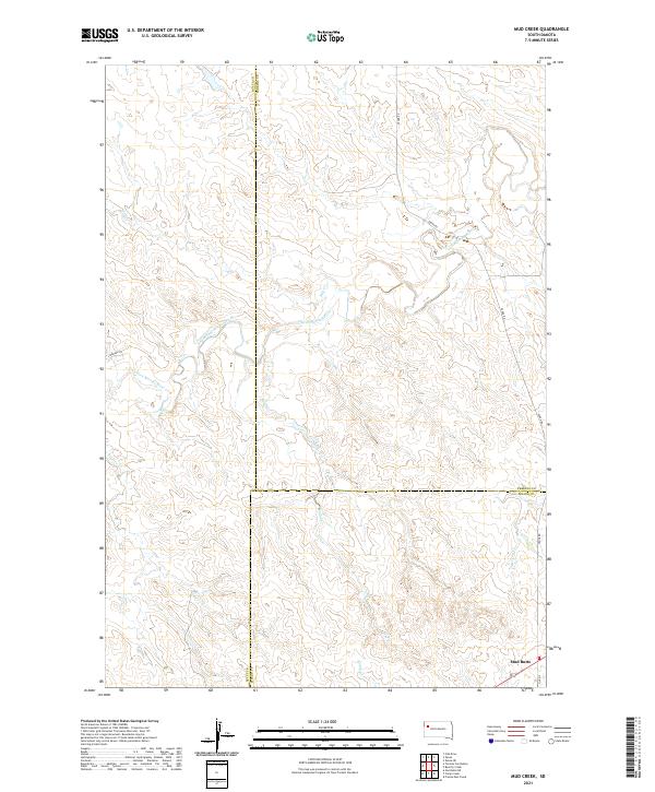
2021 Map of Mud Creek
USGS Topo · Published 2021About this map
Mud Butte serves as the primary landmark in this corner of western South Dakota, situated near the intersection of Zeona Rd and Old 212. The landscape is defined by the drainage network of the South Fork Moreau River, which winds across the northern half of the quadrangle. This drainage is fed by numerous tributaries including Hay Cr, Trail Cr, and Mud Cr, creating a complex system of draws and breaks characteristic of the region.
Find a feature on this map
18 named features on this map. Tap any name to fly to it.
Don’t see what you’re looking for? This feature index may not catch every label — zoom into the map to look around manually.
Map Details
Editions of this 2021 Mud Creek Map
This is the sole edition of this map. No revisions or reprints were ever made.
Other maps of this area

1913 · Newell
USGS Topo · 1:125,000

1935 · Hoover
USGS Topo · 1:125,000

1953 · Rapid City
USGS Topo · 1:250,000

1954 · Lemmon
USGS Topo · 1:250,000

1957 · Lemmon
USGS Topo · 1:250,000

1957 · Rapid City
USGS Topo · 1:250,000

1973 · Frozen Man Creek
USGS Topo · 1:24,000
1978 · Owl Butte NE
USGS Topo · 1:24,000
1978 · Camp Creek
USGS Topo · 1:24,000
1978 · Fish Draw
USGS Topo · 1:24,000