Old Maps of Sturgis, South Dakota for Hiking & Exploration
Hike through history with 20 historic maps of Sturgis. Explore old trails, ghost towns, and forgotten backroads — perfect for outdoor adventurers and local explorers.
- Rediscover forgotten places: Map out old mining camps, roads, and footpaths that no longer exist on modern maps.
- Layer with modern tools: Combine with LiDAR or satellite views to plan hikes through historical terrain.
- Made for exploration: Popular among hikers, overlanders, and local history lovers.
Use these maps to find adventure and explore the hidden past of Sturgis.
Sturgis, SD maps
(20)- 1893 Map of Rapid
 1893 Rapid1893 Print · USGSThe Black Hills frontier comes alive in the late nineteenth century as rail lines and military outposts shape the territory. Genealogists and researchers can trace the early layout of Rapid, locate Fort Meade, and find family-named landmarks like Doe Dotie Ranch or Piedmont.2 unique versions available
 - 1894 Map of Deadwood
 1894 Deadwood1894 Print · USGSThe Black Hills gold mining region is documented here in the early 1890s, capturing the industrial density of Deadwood and Lead. Researchers can trace early rail lines and find specific mountain locations like the Normal School in Spearfish, Bull Dog Ranch, and Lookout Mill.2 unique versions available
 - 1898 Map of Rapid
 1898 Rapid1898 Print · USGSThe Black Hills foothills come alive in the 1890s, where early railroads meet military outposts and pioneer settlements. Trace the early streets of Rapid City, the grounds of Fort Meade, and localized landmarks like Crystal Cave.2 unique versions available
 - 1899 Map of Sturgis
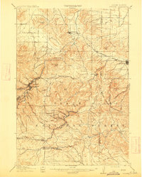
 1899 Sturgis1899 Print · USGSThe Black Hills region thrives in the late nineteenth century as mining and rail lines connect the foothills to the mountains. Trace the early growth of Sturgis and Deadwood alongside landmarks like the Fort Meade Timber Reservation and Whitewood.2 unique versions available
 - 1901 Map of Deadwood
 1901 Deadwood1901 Print · USGSThe Black Hills gold mining region and the bustling camps of Lawrence County are captured here just before the modern era. Genealogists and historians can trace the early rail networks of the Burlington and Missouri River Railroad through remote outposts like Bulldog Ranch and Rochford.2 unique versions available
 - 1903 Map of Rapid
 1903 Rapid1903 Print · USGSThe Black Hills transition from mountains to plains at the turn of the century, centered on the growing rail hub of Rapid. Researchers can trace the early rail corridor of the Fremont Elkhorn and Missouri Valley through Fort Meade and Piedmont.4 unique versions available
 - 1915 Map of Sturgis
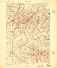
 1915 Sturgis1915 Print · USGSThe Black Hills were a hub of mining and military activity in the early twentieth century. Researchers can trace the rail lines of the Chicago and Northwestern and locate specialized sites like the Golden Crest Mine and the Fort Meade Military Reservation.2 unique versions available
 - 1916 Map of Deadwood
 1916 Deadwood1916 Print · USGSThe Black Hills mining district at the peak of its early industrial era shows a dense network of rail and timber camps. Researchers can trace the narrow-gauge C B & Q RR lines to the Queen Bee Mine and the Fort Meade Military Reservation.3 unique versions available
 - 1953 Map of Fort Meade, 1955 Print
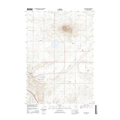
 1953 Fort Meade1955 Print · USGSMeade County, South Dakota, is captured in the early fifties as the historic military presence at Fort Meade transitioned into modern medical and wildlife conservation roles. Genealogists and researchers can trace the locations of the Fort Meade Cem, the Veterans Hospital, and rural landmarks like Carpenter Sch.5 unique versions available
 - 1953 Map of Rapid City, 1964 Print
 1953 Rapid City1964 Print · USGSWestern South Dakota's transition from the Black Hills to the open prairie is captured here during the mid-fifties. Researchers can trace the development of Ellsworth Air Force Base alongside historic landmarks like Bear Butte and the Lower Alkali School.3 unique versions available
 - 1954 Map of Sturgis, 1955 Print
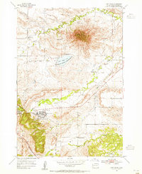
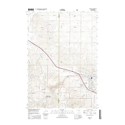
 1954 Sturgis1955 Print · USGSSturgis and the eastern Black Hills are captured here during the mid-fifties, showing the town as a vital regional hub. Researchers can trace the Chicago and North Western rail line and locate rural landmarks like Merritt Sch and Granite Peak.3 unique versions available
 - 1957 Map of Rapid City
 1957 Rapid City1957 Print · USGSWestern South Dakota in the mid-fifties reveals a landscape of high-altitude forests and growing military installations. Researchers can trace the development of Ellsworth Air Force Base, locate the Theodore Roosevelt Monument, and find rural landmarks like Lower Alkali School.
 - 2012 Map of Sturgis, 2012 Print
 2012 Sturgis2012 Print · USGSCovers Sturgis, including Boulder Canyon, Meade County, and other nearby areas
 - 2012 Map of Fort Meade, 2012 Print
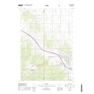
 2012 Fort Meade2012 Print · USGSCovers Sturgis, including Buffalo Chip, Fort Meade, and other nearby areas
 - 2015 Map of Fort Meade, 2015 Print
 2015 Fort Meade2015 Print · USGSCovers Sturgis, including Buffalo Chip, Fort Meade, and other nearby areas
 - 2015 Map of Sturgis, 2015 Print
 2015 Sturgis2015 Print · USGSCovers Sturgis, including Boulder Canyon, Meade County, and other nearby areas
 - 2017 Map of Fort Meade, 2017 Print
 2017 Fort Meade2017 Print · USGSCovers Sturgis, including Buffalo Chip, Fort Meade, and other nearby areas
 - 2017 Map of Sturgis, 2017 Print
 2017 Sturgis2017 Print · USGSCovers Sturgis, including Boulder Canyon, Meade County, and other nearby areas
 - 2021 Map of Sturgis, 2021 Print
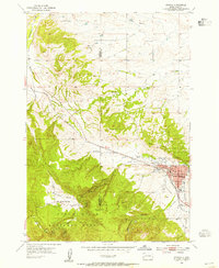
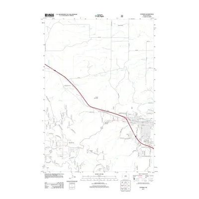
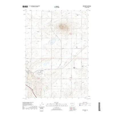
 2021 Sturgis2021 Print · USGSThe Black Hills foothills meet the town of Sturgis in the early 2020s, revealing a landscape defined by both modern growth and deep-rooted landmarks. Researchers can locate the Meade County Courthouse and trace local genealogy at Crook City Cem or Saint Aloysius Cem.
 - 2021 Map of Fort Meade, 2021 Print
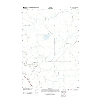
 2021 Fort Meade2021 Print · USGSMeade County, South Dakota, is captured here in the early 2020s, showing the enduring ranching landscape surrounding the sacred peak of Bear Butte. Genealogists and local historians can locate specific sites including the Fort Meade National Cem, Bear Butte Cem, and the grid of Sturgis.
End of results
Showing maps 1-20 of 20
Top cities near Sturgis
- Spearfish historical maps
- Summerset historical maps
- Deadwood historical maps
- Whitewood historical maps
- Saint Onge historical maps
- Vale historical maps
See more
Top neighborhoods of Sturgis
Frequently asked questions
- What are the different types of historical maps available for Sturgis?
- What is the oldest map of Sturgis?
- Where can I purchase historical maps of Sturgis for my home or office?
- Where can I download high-res historical maps of Sturgis?
- Are there historical topographic maps available for Sturgis?
- Is there historical aerial imagery available for Sturgis?
- Where are historical maps of Sturgis sourced from?