Old Maps of Meade County, South Dakota
Explore 100 old maps of Meade County, spanning from 1893 to today. These high-resolution historic maps reveal how streets, neighborhoods, landmarks, and natural features evolved over time — perfect for genealogy, metal detecting, research, and local history exploration.
What you can do with these maps:
- See how Meade County changed over time: Compare historical maps to modern-day views to trace roads, homesites, rail lines & more.
- View detailed metadata: Each map includes creators, publishers, year, scale, and archive source.
- Overlay maps with satellite & LiDAR: Visualize the past alongside modern tools to explore terrain & human change.
- Trusted historical sources: Maps sourced from the USGS, Library of Congress, and other archives.
- Access maps your way: View online, download high-res files, or order prints for personal or research use.
Start exploring old maps of Meade County to uncover forgotten places, hidden landmarks, and the deep history beneath your feet.
Meade County, SD maps
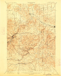
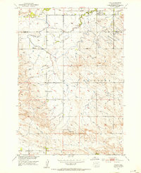
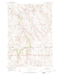
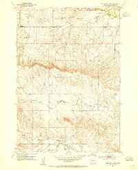
(100)- 1893 Map of Rapid
 1893 Rapid1893 Print · USGSCovers Meade County, including Rapid City, Box Elder, and other nearby areas2 unique versions available
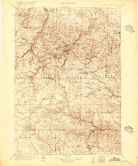
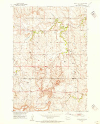
 - 1894 Map of Deadwood
 1894 Deadwood1894 Print · USGSCovers Meade County, including Spearfish, Sturgis, and other nearby areas2 unique versions available
 - 1898 Map of Rapid
 1898 Rapid1898 Print · USGSCovers Meade County, including Rapid City, Box Elder, and other nearby areas2 unique versions available
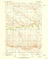
 - 1899 Map of Sturgis
 1899 Sturgis1899 Print · USGSCovers Meade County, including Spearfish, Sturgis, and other nearby areas2 unique versions available
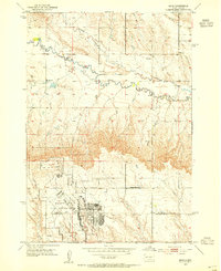
 - 1901 Map of Deadwood
 1901 Deadwood1901 Print · USGSCovers Meade County, including Spearfish, Sturgis, and other nearby areas2 unique versions available
 - 1903 Map of Rapid
 1903 Rapid1903 Print · USGSCovers Meade County, including Rapid City, Box Elder, and other nearby areas4 unique versions available
 - 1905 Map of Saint Onge
 1905 Saint Onge1905 Print · USGSCovers Meade County, including Nisland, Saint Onge, and other nearby areas2 unique versions available
 - 1906 Map of Vale
 1906 Vale1906 Print · USGSCovers Meade County, including Newell, Vale, and other nearby areas
 - 1907 Map of Belle Fourche
 1907 Belle Fourche1907 Print · USGSCovers Meade County, including Spearfish, Belle Fourche, and other nearby areas2 unique versions available
 - 1913 Map of Newell
 1913 Newell1913 Print · USGSCovers Meade County, including Newell, Vale, and other nearby areas2 unique versions available
 - 1915 Map of Sturgis
 1915 Sturgis1915 Print · USGSCovers Meade County, including Spearfish, Sturgis, and other nearby areas2 unique versions available
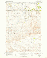
 - 1916 Map of Deadwood
 1916 Deadwood1916 Print · USGSCovers Meade County, including Spearfish, Sturgis, and other nearby areas3 unique versions available
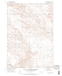
 - 1951 Map of Volunteer, 1953 Print
 1951 Volunteer1953 Print · USGSCovers Meade County, including Volunteer, Butte County, and other nearby areas2 unique versions available
 - 1951 Map of Cedar Canyon, 1953 Print
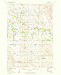
 1951 Cedar Canyon1953 Print · USGSCovers Meade County, including Cedar Canyon, Perkins County, and other nearby areas2 unique versions available
 - 1951 Map of Vale, 1953 Print
 1951 Vale1953 Print · USGSCovers Meade County, including Vale, Butte County, and other nearby areas2 unique versions available
 - 1951 Map of Maurine, 1953 Print
 1951 Maurine1953 Print · USGSCovers Meade County, including Maurine, Perkins County, and other nearby areas
 - 1951 Map of Volunteer SE, 1953 Print
 1951 Volunteer SE1953 Print · USGSCovers Meade County, including Butte County, United States, and other nearby areas2 unique versions available
 - 1951 Map of Vale SE, 1953 Print
 1951 Vale SE1953 Print · USGSCovers Meade County, including Empire, Butte County, and other nearby areas2 unique versions available
 - 1951 Map of Vale, 1959 Print
 1951 Vale1959 Print · USGSCovers Meade County, including Newell, Vale, and other nearby areas
 - 1952 Map of Deep Creek SE
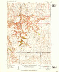
 1952 Deep Creek SE1952 Print · USGSCovers Meade County, including Perkins County, United States, and other nearby areas2 unique versions available
 - 1952 Map of Signal Butte, 1954 Print
 1952 Signal Butte1954 Print · USGSCovers Meade County, including Perkins County, United States, and other nearby areas
 - 1953 Map of Bend, 1954 Print
 1953 Bend1954 Print · USGSCovers Meade County, including Box Elder, Bend, and other nearby areas2 unique versions available
 - 1953 Map of Viewfield, 1954 Print
 1953 Viewfield1954 Print · USGSCovers Meade County, including Viewfield, Pennington County, and other nearby areas2 unique versions available
 - 1953 Map of Hereford SE, 1954 Print
 1953 Hereford SE1954 Print · USGSCovers Meade County, including United States, South Dakota, and other nearby areas
 - 1953 Map of Rapid City 1 SW, 1954 Print
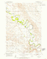
 1953 Rapid City 1 SW1954 Print · USGSCovers Meade County, including United States, South Dakota, and other nearby areas3 unique versions available
Showing maps 1-25 of 100
Top cities of Meade County
Frequently asked questions
- What are the different types of historical maps available for Meade County?
- What is the oldest map of Meade County?
- Where can I purchase historical maps of Meade County for my home or office?
- Where can I download high-res historical maps of Meade County?
- Are there historical topographic maps available for Meade County?
- Is there historical aerial imagery available for Meade County?
- Where are historical maps of Meade County sourced from?