
1951 Map of Vale
USGS Topo · Published 1953About this map
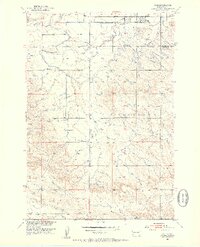
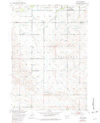
The settlement of Vale serves as the focal point of this early 1950s survey, situated along the Chicago and North Western railroad near the intersection of Butte and Meade counties. This landscape is defined by the sophisticated irrigation infrastructure of the Missouri River Basin project, featuring the South Canal, Shaw Lateral, and Beal Lateral that diverted water across the plains.
Find a feature on this map
18 named features on this map. Tap any name to fly to it.
Don’t see what you’re looking for? This feature index may not catch every label — zoom into the map to look around manually.
Map Details
Editions of this 1951 Vale Map
3 editions found
Other maps of this area

1893 · Rapid
USGS Topo · 1:125,000

1894 · Deadwood
USGS Topo · 1:125,000

1898 · Rapid
USGS Topo · 1:125,000

1899 · Sturgis
USGS Topo · 1:62,500

1901 · Deadwood
USGS Topo · 1:125,000

1903 · Rapid
USGS Topo · 1:125,000

1905 · Saint Onge
USGS Topo · 1:62,500

1906 · Vale
USGS Topo · 1:62,500

1907 · Belle Fourche
USGS Topo · 1:125,000

1913 · Newell
USGS Topo · 1:125,000