Old Maps of Corn Creek Segment, South Dakota for Genealogy
Trace your family roots with 32 historic maps of Corn Creek Segment. These high-res maps reveal old neighborhoods, homesites, landmarks, and streets — helping you uncover where your ancestors lived and how the area evolved over time.
- Explore historic neighborhoods: Identify where your relatives may have lived in the 1800s or 1900s.
- Compare maps over time: Trace the changes in streets, buildings, and landmarks for multi-generational research.
- Perfect for genealogy & ancestry research: Used by family historians and researchers to map out lineage and migration.
These maps are an incredible resource for exploring your personal connection to Corn Creek Segment's past.
Corn Creek Segment, SD maps
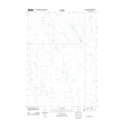
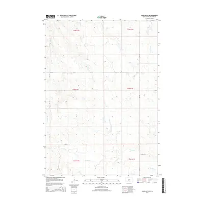
(32)- 1951 Map of Stamford SW, 1952 Print
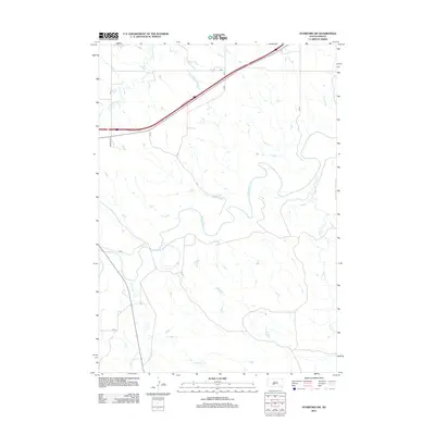
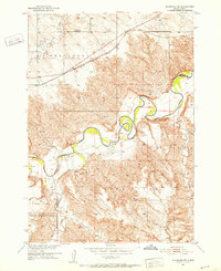 1951 Stamford SW1952 Print · USGSSouth Dakota's river breaks and high plateaus are captured here in the early fifties, showing the rural landscape south of the Milwaukee Road. Genealogists and local historians can locate Valley Sch (Abandoned), Six School, and the winding course of the White River.3 unique versions available
 - 1951 Map of Stamford SE, 1953 Print
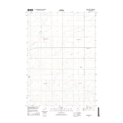
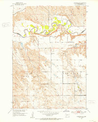 1951 Stamford SE1953 Print · USGSMellette County ranching country is documented here in the early fifties, where the winding White River separates high plateaus. Researchers can locate family landmarks like the Bear Heels Ranch and rural centers such as St James Ch and the Big White River Sch.3 unique versions available
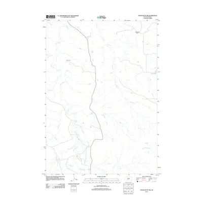
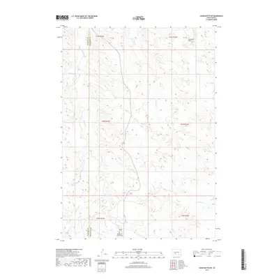
 - 1951 Map of Cedar Butte NW, 1953 Print
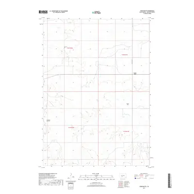
 1951 Cedar Butte NW1953 Print · USGSNative American ranching and early community life in Mellette County come into focus during the early fifties. Genealogists and historians can trace family locations at Walker Ranch and the Church Creek Ch Cem near the Black Pipe Creek crossing.2 unique versions available
 - 1951 Map of Cedar Butte NE, 1953 Print
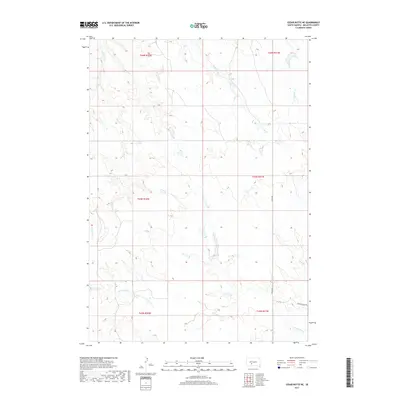
 1951 Cedar Butte NE1953 Print · USGSMellette County ranching life is preserved in high detail in the early fifties, showing a landscape of named family spreads and isolated schoolhouses. Genealogists can trace the locations of the Brauns on Ranch, Dixon Ranch, and the centrally located Prospect Sch.
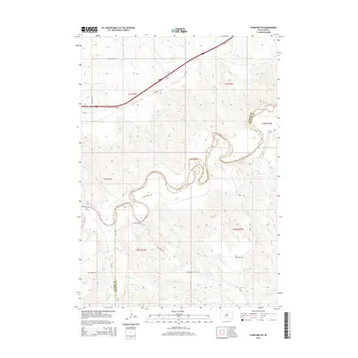
 - 1955 Map of Martin, 1968 Print
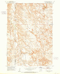
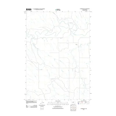
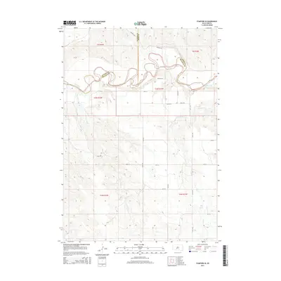
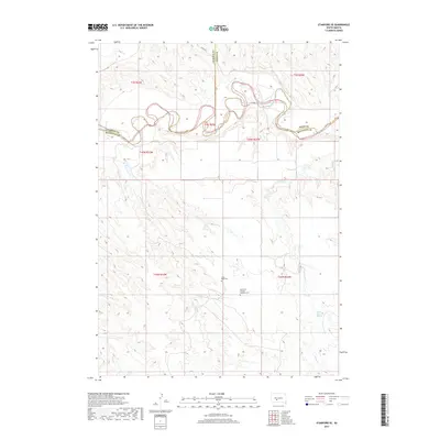
 1955 Martin1968 Print · USGSTribal lands and rail corridors define the South Dakota plains in the mid-fifties, from the sand hills to the badlands. Genealogists and historians can trace the early layout of Pine Ridge Indian Reservation settlements and find small rail towns like Stamford and Witten.2 unique versions available
 - 1958 Map of Martin
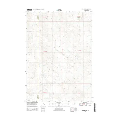
 1958 Martin1958 Print · USGSSouth Dakota's southern plains are documented here in the late fifties, showing the expansive Pine Ridge and Rosebud Indian Reservations. Genealogists and historians can locate early settlements along the Chicago Milwaukee St Paul and Pacific line or find family roots near Martin and the Indian Cemetery.
 - 1980 Map of Kadoka
 1980 Kadoka1980 Print · USGSWestern South Dakota's open plains and Badlands are captured here in the early eighties, showcasing a region defined by its railroads and reservations. Researchers can trace the routes of the Chicago and North Western or locate local landmarks like Kadoka Lake and Wanblee.
 - 1981 Map of Cedar Butte
 1981 Cedar Butte1981 Print · USGSThe South Dakota prairie at the start of the eighties is captured here, detailing the rural landscape of Mellette and Jackson counties. Local researchers can trace family landmarks and community sites like Stands For Them Cem, Running Bird Sch, and St Thomas Ch.
 - 2012 Map of Cedar Butte, 2012 Print
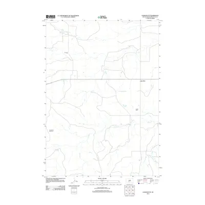 2012 Cedar Butte2012 Print · USGSCovers Corn Creek Segment, including Swift Bear Segment, Cedar Butte, and other nearby areas
 - 2012 Map of Cedar Butte NE, 2012 Print
 2012 Cedar Butte NE2012 Print · USGSCovers Corn Creek Segment, including Swift Bear Segment, Mellette County, and other nearby areas
 - 2012 Map of Corn Creek, 2012 Print
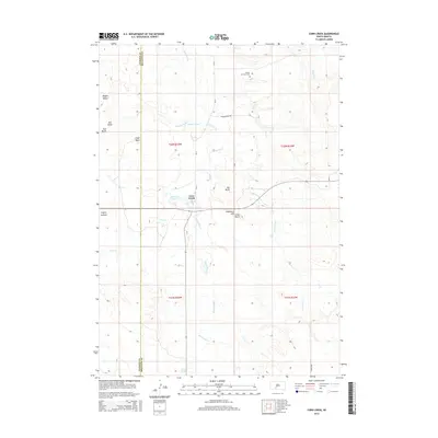
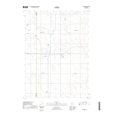
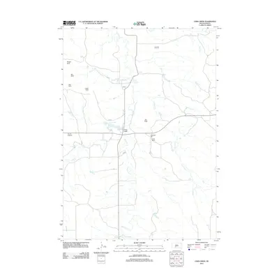 2012 Corn Creek2012 Print · USGSCovers Corn Creek Segment, including Corn Creek, Wanblee, and other nearby areas
 - 2012 Map of Cedar Butte NW, 2012 Print
 2012 Cedar Butte NW2012 Print · USGSCovers Corn Creek Segment, including Wanblee, Jackson County, and other nearby areas
 - 2012 Map of Stamford SE, 2012 Print
 2012 Stamford SE2012 Print · USGSCovers Corn Creek Segment, including Swift Bear Segment, Jones County, and other nearby areas
 - 2012 Map of Stamford SW, 2012 Print
 2012 Stamford SW2012 Print · USGSCovers Corn Creek Segment, including Wanblee, Jackson County, and other nearby areas
 - 2015 Map of Cedar Butte NW, 2015 Print
 2015 Cedar Butte NW2015 Print · USGSCovers Corn Creek Segment, including Wanblee, Jackson County, and other nearby areas
 - 2015 Map of Stamford SE, 2015 Print
 2015 Stamford SE2015 Print · USGSCovers Corn Creek Segment, including Swift Bear Segment, Jones County, and other nearby areas
 - 2015 Map of Cedar Butte, 2015 Print
 2015 Cedar Butte2015 Print · USGSCovers Corn Creek Segment, including Swift Bear Segment, Cedar Butte, and other nearby areas
 - 2015 Map of Cedar Butte NE, 2015 Print
 2015 Cedar Butte NE2015 Print · USGSCovers Corn Creek Segment, including Swift Bear Segment, Mellette County, and other nearby areas
 - 2015 Map of Stamford SW, 2015 Print
 2015 Stamford SW2015 Print · USGSCovers Corn Creek Segment, including Wanblee, Jackson County, and other nearby areas
 - 2015 Map of Corn Creek, 2015 Print
 2015 Corn Creek2015 Print · USGSCovers Corn Creek Segment, including Corn Creek, Wanblee, and other nearby areas
 - 2017 Map of Cedar Butte NW, 2017 Print
 2017 Cedar Butte NW2017 Print · USGSCovers Corn Creek Segment, including Wanblee, Jackson County, and other nearby areas
 - 2017 Map of Corn Creek, 2017 Print
 2017 Corn Creek2017 Print · USGSCovers Corn Creek Segment, including Corn Creek, Wanblee, and other nearby areas
 - 2017 Map of Cedar Butte, 2017 Print
 2017 Cedar Butte2017 Print · USGSCovers Corn Creek Segment, including Swift Bear Segment, Cedar Butte, and other nearby areas
 - 2017 Map of Cedar Butte NE, 2017 Print
 2017 Cedar Butte NE2017 Print · USGSCovers Corn Creek Segment, including Swift Bear Segment, Mellette County, and other nearby areas
 - 2017 Map of Stamford SE, 2017 Print
 2017 Stamford SE2017 Print · USGSCovers Corn Creek Segment, including Swift Bear Segment, Jones County, and other nearby areas
Showing maps 1-25 of 32
Top cities near Corn Creek Segment
Top neighborhoods of Corn Creek Segment
Frequently asked questions
- What are the different types of historical maps available for Corn Creek Segment?
- What is the oldest map of Corn Creek Segment?
- Where can I purchase historical maps of Corn Creek Segment for my home or office?
- Where can I download high-res historical maps of Corn Creek Segment?
- Are there historical topographic maps available for Corn Creek Segment?
- Is there historical aerial imagery available for Corn Creek Segment?
- Where are historical maps of Corn Creek Segment sourced from?