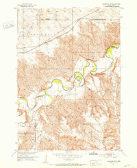
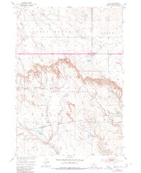
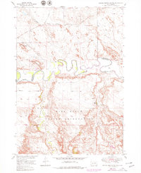
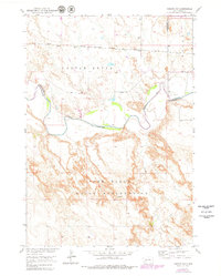
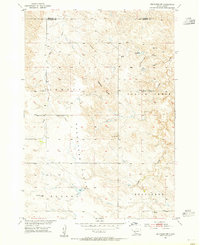
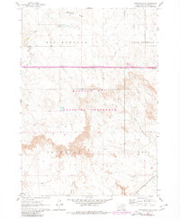
1951 Map of Stamford SW
USGS Topo · Published 1952This historical map portrays the area of Stamford SW in 1951, primarily covering Jackson County as well as portions of Mellette County. Featuring a scale of 1:24000, this map provides a highly detailed snapshot of the terrain, roads, buildings, counties, and historical landmarks in the Stamford SW region at the time. Published in 1952, it is one of 3 known editions of this map due to revisions or reprints.
Find a feature on this map
16 named features on this map. Tap any name to fly to it.
Don’t see what you’re looking for? This feature index may not catch every label — zoom into the map to look around manually.
Map Details
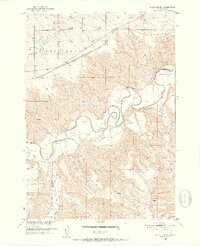
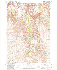
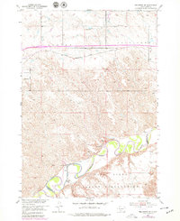
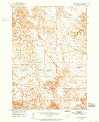
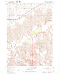
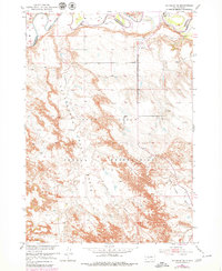
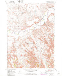
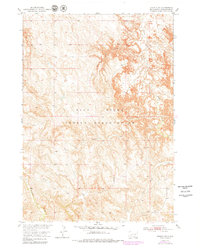
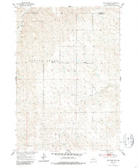
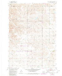
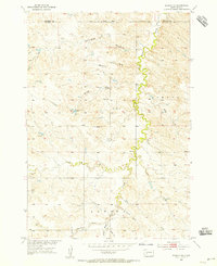
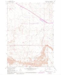
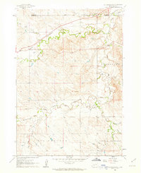
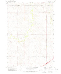
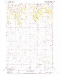
Editions of this 1951 Stamford SW Map
3 editions found
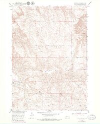
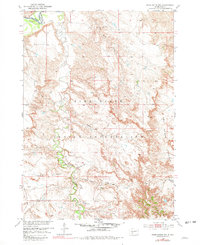
Historical Maps of Corn Creek Segment Through Time
25 maps found
1950 Interior SE
Jackson County, SD
1950 Potato Creek
Jackson County, SD
1950 Weta
Jackson County, SD
1951 Belvidere SW
Jackson County, SD
1951 Pass Creek NE
Jackson County, SD
1951 Pass Creek NW
Jackson County, SD
1951 School Section Butte
Jackson County, SD
1951 Stamford SW
Jackson County, SD
1951 Wanblee NE
Jackson County, SD
1951 Wanblee NW
Jackson County, SD
1952 Conata NE
Jackson County, SD
1952 Conata SE
Jackson County, SD
1953 Belvidere NE
Jackson County, SD
1953 Philip Junction
Jackson County, SD
1954 Belvidere NW
Jackson County, SD
1954 Kadoka NE
Jackson County, SD
1960 Cottonwood SW
Jackson County, SD
1961 Cottonwood NE
Jackson County, SD
1961 Cottonwood SE
Jackson County, SD
1972 Stamford NW
Jackson County, SD
1981 Broken Leg Dam
Jackson County, SD

1981 Buzzard Butte
Jackson County, SD

1981 Hisle
Jackson County, SD

1981 Long Valley
Jackson County, SD
1981 Short Bow Creek
Jackson County, SD