Old Maps of White River, South Dakota for Academic Research
Study the evolution of White River with 13 high-resolution historic maps. Whether you're teaching, researching, or modeling changes in land use, these maps provide essential visual documentation of urban, environmental, and geographic change.
- Analyze long-term change: Track patterns in development, transportation, and natural features.
- Ideal for environmental or urban studies: Support academic projects with primary historical map data.
- Use in the classroom or lab: Educators and researchers rely on these maps to bring historical context to life.
These maps are a powerful tool for teaching, research, and visualizing how White River has changed over the decades.
White River, SD maps
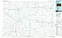
(13)- 1955 Map of Martin, 1968 Print
 1955 Martin1968 Print · USGSTribal lands and rail corridors define the South Dakota plains in the mid-fifties, from the sand hills to the badlands. Genealogists and historians can trace the early layout of Pine Ridge Indian Reservation settlements and find small rail towns like Stamford and Witten.2 unique versions available
 - 1958 Map of Martin
 1958 Martin1958 Print · USGSSouth Dakota's southern plains are documented here in the late fifties, showing the expansive Pine Ridge and Rosebud Indian Reservations. Genealogists and historians can locate early settlements along the Chicago Milwaukee St Paul and Pacific line or find family roots near Martin and the Indian Cemetery.
 - 1982 Map of White River East
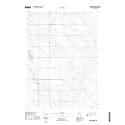
 1982 White River East1982 Print · USGSMellette County ranching country is captured here in the early eighties, centered on the community of White River. Local historians and genealogists can trace family landholdings such as Hutchinson Ranch, Didier Ranch, and Ellis Ranch along the Little White River.
 - 1982 Map of White River West
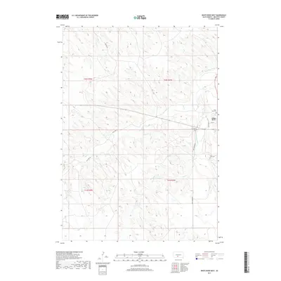
 1982 White River West1982 Print · USGSMellette County ranching and water management are front and center in this early 1980s landscape near the White River confluence. Trace family lands such as the Risseuw Ranch alongside infrastructure like the Small Power Plant and Saint Ignatius Cem.
 - 1985 Map of White River, 1986 Print
 1985 White River1986 Print · USGSSouth-central South Dakota comes into focus during the mid-eighties as a critical junction of rail and river life. Researchers can trace the Chicago and North Western line through high-plains towns like Murdo and Presho or locate rural landmarks such as Stony Butte and Fate Dam.2 unique versions available
 - 2012 Map of White River East, 2012 Print
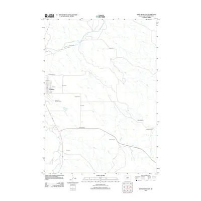 2012 White River East2012 Print · USGSCovers White River, including Swift Bear Segment, Horse Creek Segment, and other nearby areas
 - 2012 Map of White River West, 2012 Print
 2012 White River West2012 Print · USGSCovers White River, including Swift Bear Segment, Horse Creek Segment, and other nearby areas
 - 2015 Map of White River West, 2015 Print
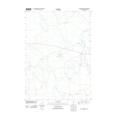
 2015 White River West2015 Print · USGSCovers White River, including Swift Bear Segment, Horse Creek Segment, and other nearby areas
 - 2015 Map of White River East, 2015 Print
 2015 White River East2015 Print · USGSCovers White River, including Swift Bear Segment, Horse Creek Segment, and other nearby areas
 - 2017 Map of White River East, 2017 Print
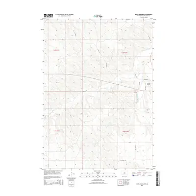
 2017 White River East2017 Print · USGSCovers White River, including Swift Bear Segment, Horse Creek Segment, and other nearby areas
 - 2017 Map of White River West, 2017 Print
 2017 White River West2017 Print · USGSCovers White River, including Swift Bear Segment, Horse Creek Segment, and other nearby areas
 - 2021 Map of White River West, 2021 Print
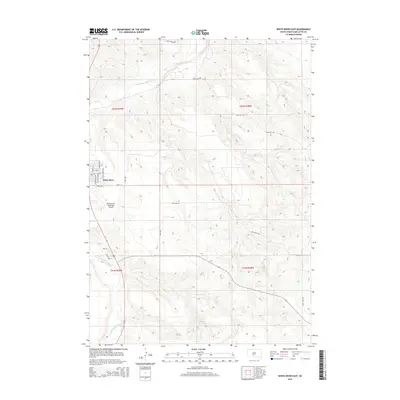
 2021 White River West2021 Print · USGSMellette County is documented here in the early 2020s, centered on the western environs of the White River settlement. Family historians can trace local landmarks and burial sites including White River Cem, Saint Ignatius Cem, and the path of the Little White River.
 - 2021 Map of White River East, 2021 Print
 2021 White River East2021 Print · USGSThe community of White River sits along its namesake waterway during the early 2020s, serving as a vital regional center in Mellette County. Genealogists and local historians can trace the town layout near the Mellette County Courthouse or locate outlying routes like Red Shirt Rd.
End of results
Showing maps 1-13 of 13
Frequently asked questions
- What are the different types of historical maps available for White River?
- What is the oldest map of White River?
- Where can I purchase historical maps of White River for my home or office?
- Where can I download high-res historical maps of White River?
- Are there historical topographic maps available for White River?
- Is there historical aerial imagery available for White River?
- Where are historical maps of White River sourced from?