2000s (21st Century) Maps of Grafton Township, South Dakota
Explore 16 historic maps of Grafton Township from the 2000s (21st Century). These maps offer a rare glimpse into what life looked like during the 2000s — showing old roads, neighborhoods, homes, and landmarks that have changed or disappeared over time.
Whether you're researching your family's past, planning a metal detecting trip, or studying how Grafton Township's landscape evolved across the 2000s, these high-resolution maps are a powerful tool for exploring the history of this region.
- Focus on a specific era: All maps on this page are from the 2000s, giving you a focused view of this time period.
- See what’s changed: Compare century-old streets, trails, and buildings to today's modern landscape using overlays and satellite layers.
- Research with precision: Use these maps for genealogy, historical research, land use analysis, or educational projects.
- View, download, or print: Maps are fully viewable online in high resolution, and can be downloaded or printed for your own records.
Start exploring Grafton Township's history through authentic maps from the 2000s. This is your window into the past.
Grafton Township, SD maps
(16)- 2012 Map of Howard, 2012 Print
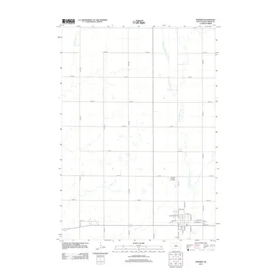 2012 Howard2012 Print · USGSCovers Grafton Township, including Howard, Vilas, and other nearby areas
 - 2012 Map of Oldham NW, 2012 Print
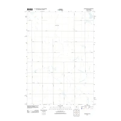 2012 Oldham NW2012 Print · USGSCovers Grafton Township, including Belleview Township, Kingsbury County, and other nearby areas
 - 2012 Map of Howard NE, 2012 Print
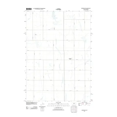 2012 Howard NE2012 Print · USGSCovers Grafton Township, including Cloverleaf Colony, Carthage Township, and other nearby areas
 - 2012 Map of Oldham SW, 2012 Print
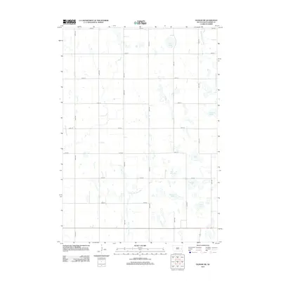 2012 Oldham SW2012 Print · USGSCovers Grafton Township, including Adams Township, Belleview Township, and other nearby areas
 - 2015 Map of Oldham NW, 2015 Print
 2015 Oldham NW2015 Print · USGSCovers Grafton Township, including Belleview Township, Kingsbury County, and other nearby areas
 - 2015 Map of Howard, 2015 Print
 2015 Howard2015 Print · USGSCovers Grafton Township, including Howard, Vilas, and other nearby areas
 - 2015 Map of Howard NE, 2015 Print
 2015 Howard NE2015 Print · USGSCovers Grafton Township, including Cloverleaf Colony, Carthage Township, and other nearby areas
 - 2015 Map of Oldham SW, 2015 Print
 2015 Oldham SW2015 Print · USGSCovers Grafton Township, including Adams Township, Belleview Township, and other nearby areas
 - 2017 Map of Howard, 2017 Print
 2017 Howard2017 Print · USGSCovers Grafton Township, including Howard, Vilas, and other nearby areas
 - 2017 Map of Howard NE, 2017 Print
 2017 Howard NE2017 Print · USGSCovers Grafton Township, including Cloverleaf Colony, Carthage Township, and other nearby areas
 - 2017 Map of Oldham NW, 2017 Print
 2017 Oldham NW2017 Print · USGSCovers Grafton Township, including Belleview Township, Kingsbury County, and other nearby areas
 - 2017 Map of Oldham SW, 2017 Print
 2017 Oldham SW2017 Print · USGSCovers Grafton Township, including Adams Township, Belleview Township, and other nearby areas
 - 2021 Map of Howard, 2021 Print
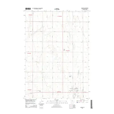
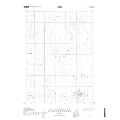
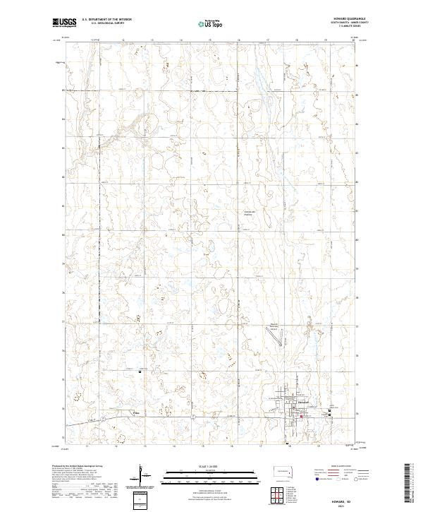 2021 Howard2021 Print · USGSMiner County's prairie landscape is recorded here in the early twenty-first century, centered on the county seat and the agricultural grid. Genealogists can trace family plots at Saint Joseph's Cem and IOOF Cem, or locate the Miner County Courthouse in Howard.
 - 2021 Map of Oldham SW, 2021 Print
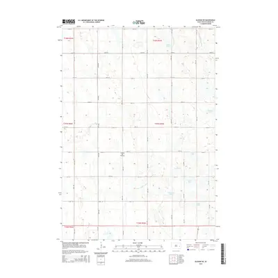
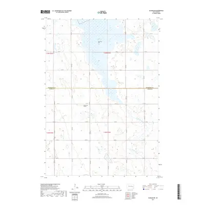
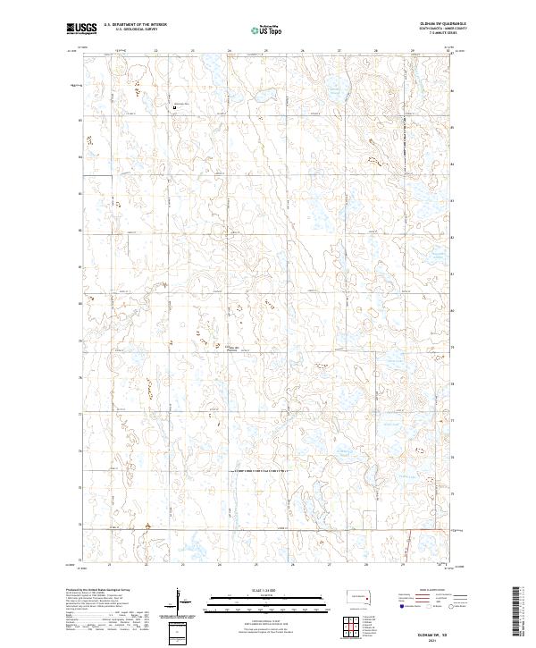 2021 Oldham SW2021 Print · USGSMiner County's glaciated landscape is preserved here in the early twenty-first century, showing the intersection of rural section lines and prairie potholes. Researchers can trace family sites near Belleview Cem or map the shorelines of Silver Lake and Pedley Lake.
 - 2021 Map of Oldham NW, 2021 Print
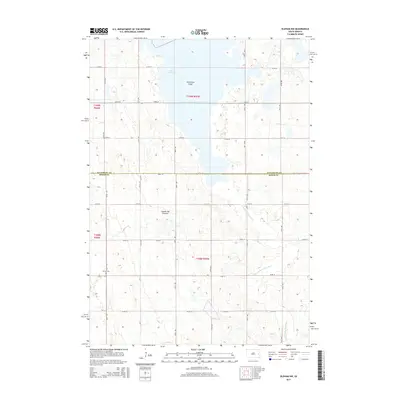
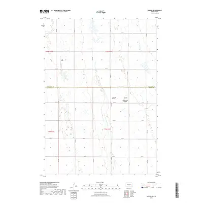
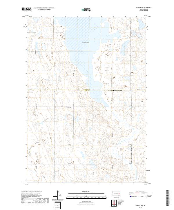 2021 Oldham NW2021 Print · USGSThe high prairie of the Coteau des Prairies meets the marshy headwaters of the E Fork Vermillion River in the early 2020s. Researchers can trace the section-line roads of Miner County to find the Berton Cem and the vast Lake Thompson Vermillion Flats.
 - 2021 Map of Howard NE, 2021 Print
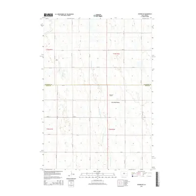
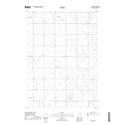
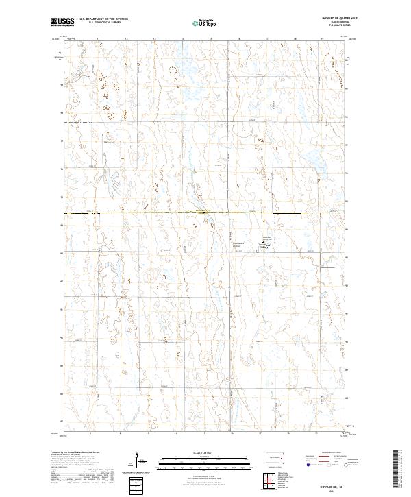 2021 Howard NE2021 Print · USGSThe high glacial plains of the Coteau des Prairies stretch across the Kingsbury and Miner county line in the early twenty-first century. Researchers can locate the communal Cloverleaf Colony and its cemetery, or trace the W Fork Vermillion River.
End of results
Showing maps 1-16 of 16
Top cities near Grafton Township
- Howard historical maps
- Lake Preston historical maps
- Winfred historical maps
- Carthage historical maps
- Esmond historical maps
- Roswell historical maps
See more
Top neighborhoods of Grafton Township
Frequently asked questions
- What are the different types of historical maps available for Grafton Township?
- What is the oldest map of Grafton Township?
- Where can I purchase historical maps of Grafton Township for my home or office?
- Where can I download high-res historical maps of Grafton Township?
- Are there historical topographic maps available for Grafton Township?
- Is there historical aerial imagery available for Grafton Township?
- Where are historical maps of Grafton Township sourced from?