2020s Maps of Roswell Township, South Dakota
Explore 4 historic maps of Roswell Township from the 2020s. These maps offer a rare glimpse into what life looked like during the 2020s — showing old roads, neighborhoods, homes, and landmarks that have changed or disappeared over time.
Whether you're researching your family's past, planning a metal detecting trip, or studying how Roswell Township's landscape evolved across the 2020s, these high-resolution maps are a powerful tool for exploring the history of this region.
- Focus on a specific era: All maps on this page are from the 2020s, giving you a focused view of this time period.
- See what’s changed: Compare century-old streets, trails, and buildings to today's modern landscape using overlays and satellite layers.
- Research with precision: Use these maps for genealogy, historical research, land use analysis, or educational projects.
- View, download, or print: Maps are fully viewable online in high resolution, and can be downloaded or printed for your own records.
Start exploring Roswell Township's history through authentic maps from the 2020s. This is your window into the past.
Roswell Township, SD maps
(4)- 2021 Map of Bitter Lake, 2021 Print
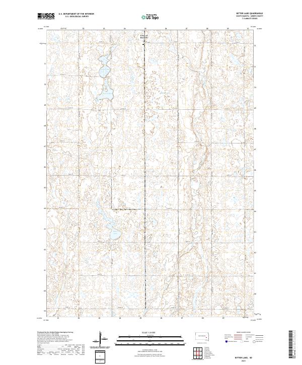 2021 Bitter Lake2021 Print · USGSMiner County's prairie landscape is captured in the early 2020s, showing a region defined by agricultural grids and glacial wetlands. Genealogists and researchers can locate the Town of Roswell, trace the Roswell Cem, and explore the banks of Bitter Lake or the Twin Lakes.
 - 2021 Map of Canova West, 2021 Print
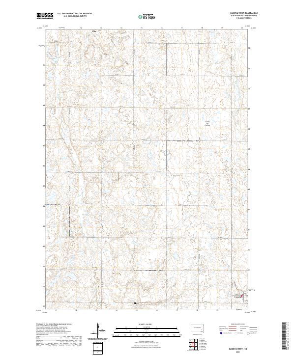 2021 Canova West2021 Print · USGSMiner County agriculture and the high plateau of the Coteau des Prairies are meticulously detailed in this recent survey. Researchers can trace the section-line roads connecting the settlements of Vilas and Canova or locate Saint Paul's Cem amidst the prairie wetlands.
 - 2021 Map of Howard, 2021 Print
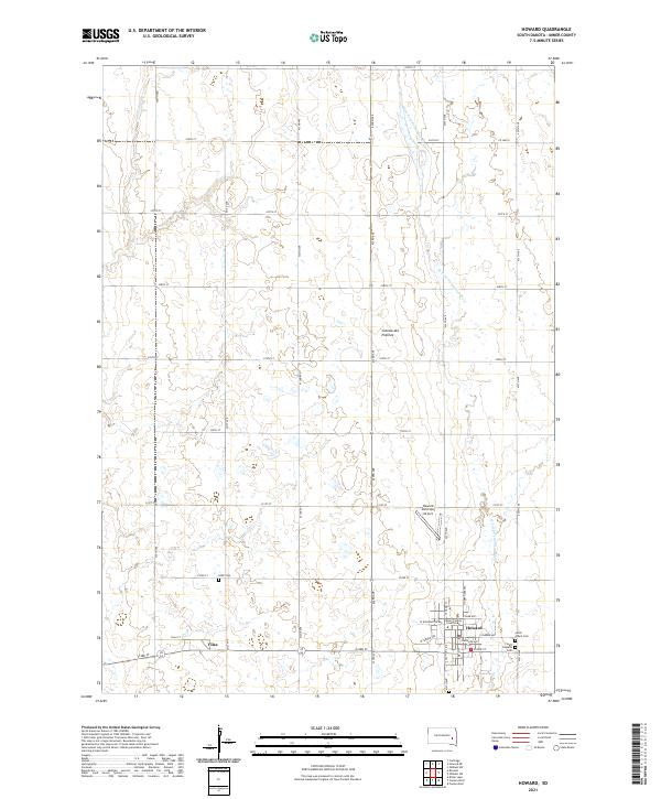 2021 Howard2021 Print · USGSMiner County's prairie landscape is recorded here in the early twenty-first century, centered on the county seat and the agricultural grid. Genealogists can trace family plots at Saint Joseph's Cem and IOOF Cem, or locate the Miner County Courthouse in Howard.
 - 2021 Map of Roswell, 2021 Print
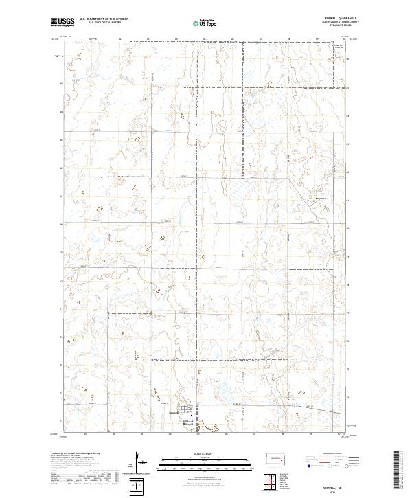 2021 Roswell2021 Print · USGSMiner County's eastern plains are captured here in the early twenty-first century, showing a landscape defined by the Coteau des Prairies and a precise section-line grid. Local historians can locate the Town of Roswell, find the Saint Nicholas Cem, and trace the rural community of Argonne.
End of results
Showing maps 1-4 of 4
Top cities near Roswell Township
- Howard historical maps
- Carthage historical maps
- Canova historical maps
- Roswell historical maps
- Vilas historical maps
Top neighborhoods of Roswell Township
Frequently asked questions
- What are the different types of historical maps available for Roswell Township?
- What is the oldest map of Roswell Township?
- Where can I purchase historical maps of Roswell Township for my home or office?
- Where can I download high-res historical maps of Roswell Township?
- Are there historical topographic maps available for Roswell Township?
- Is there historical aerial imagery available for Roswell Township?
- Where are historical maps of Roswell Township sourced from?