Old Maps of Hartford Township, South Dakota for Hiking & Exploration
Hike through history with 24 historic maps of Hartford Township. Explore old trails, ghost towns, and forgotten backroads — perfect for outdoor adventurers and local explorers.
- Rediscover forgotten places: Map out old mining camps, roads, and footpaths that no longer exist on modern maps.
- Layer with modern tools: Combine with LiDAR or satellite views to plan hikes through historical terrain.
- Made for exploration: Popular among hikers, overlanders, and local history lovers.
Use these maps to find adventure and explore the hidden past of Hartford Township.
Hartford Township, SD maps
(24)- 1955 Map of Sioux Falls, 1967 Print
 1955 Sioux Falls1967 Print · USGSThe eastern South Dakota and western Minnesota borderlands come alive in the mid-fifties, showing the vital rail-to-river connections of the era. Genealogists can trace family footprints across townships like Madison and Pipestone, while following the paths of the Big Sioux River and the Chicago and North Western line.3 unique versions available
 - 1958 Map of Sioux Falls
 1958 Sioux Falls1958 Print · USGSThe tri-state borderlands of South Dakota, Minnesota, and Iowa are captured here during the mid-century peak of the regional rail network. Genealogists and historians can trace local landmarks like Augustana Academy, the St Marys Cem, and the path of the Illinois Central through Rock Rapids.
 - 1962 Map of Hartford South, 1964 Print
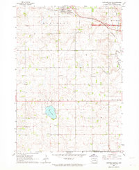 1962 Hartford South1964 Print · USGSMinnehaha County in the early sixties shows a rural landscape on the cusp of change as the interstate highway system reaches the prairie. Researchers can trace dozens of family-named landmarks and country schools like Muchow Sch, Sunshine Sch, and Lakeview Sch.2 unique versions available
 - 1962 Map of Hartford North, 1964 Print
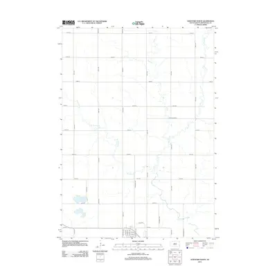
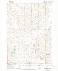 1962 Hartford North1964 Print · USGSMinnehaha County in the early 1960s shows a landscape of productive farmsteads and rural schools near Hartford. Trace the Chicago and North Western rail line or locate local landmarks like Scotts Slough and McLeod Sch.
 - 1964 Map of Grass Lake, 1966 Print
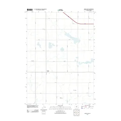
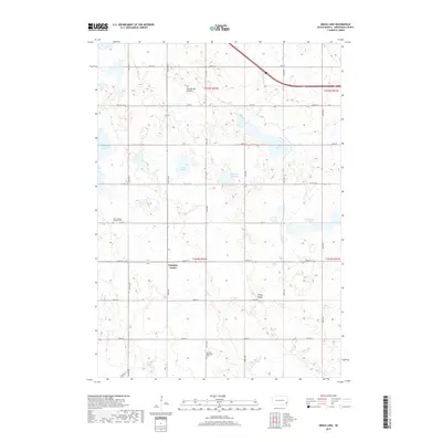
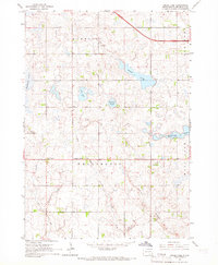 1964 Grass Lake1966 Print · USGSMinnehaha County's rural townships are captured in the mid-1960s, showing a landscape of prairie sloughs and small farm communities. Genealogists can locate family land near Union Center, Pumpkin Center, and local institutions like Midwest Sch No 71.
 - 1964 Map of Humboldt, 1966 Print
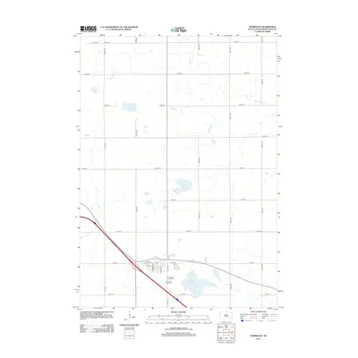
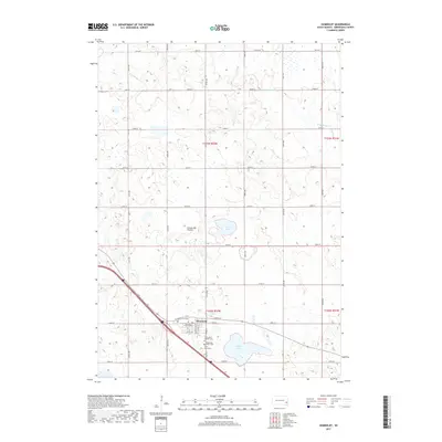
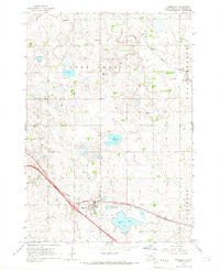 1964 Humboldt1966 Print · USGSHumboldt and the surrounding prairie of Minnehaha County are captured here in the mid-1960s as Interstate 90 began to reshape the landscape. Local historians can trace family roots through sites like Mt Pleasant Sch, the town Cem, and the busy Chicago and North Western rail line.
 - 1985 Map of Sioux Falls
 1985 Sioux Falls1985 Print · USGSIn the mid-1980s, the borderlands of South Dakota, Minnesota, and Iowa reveal a landscape shaped by the Big Sioux River and a growing urban hub. Researchers can trace the development of Sioux Falls and locate smaller communities like Dell Rapids, Garretson, and Valley Springs.2 unique versions available
 - 1985 Map of Salem
 1985 Salem1985 Print · USGSEastern South Dakota’s prairie landscape is showcased in the mid-eighties, highlighting a region defined by agricultural colonies and rail-linked towns. Genealogists and historians can trace the foundations of Rosedale Colony, the Buffalo Trading Post, and early hubs like Salem.
 - 2012 Map of Grass Lake, 2012 Print
 2012 Grass Lake2012 Print · USGSCovers Hartford Township, including Humboldt Township, Pumpkin Center, and other nearby areas
 - 2012 Map of Humboldt, 2012 Print
 2012 Humboldt2012 Print · USGSCovers Hartford Township, including Humboldt, Clear Lake Township, and other nearby areas
 - 2012 Map of Hartford North, 2012 Print
 2012 Hartford North2012 Print · USGSCovers Hartford Township, including Hartford, Grand Meadow Township, and other nearby areas
 - 2012 Map of Hartford South, 2012 Print
 2012 Hartford South2012 Print · USGSCovers Hartford Township, including Hartford, Home Township, and other nearby areas
 - 2015 Map of Hartford North, 2015 Print
 2015 Hartford North2015 Print · USGSCovers Hartford Township, including Hartford, Grand Meadow Township, and other nearby areas
 - 2015 Map of Hartford South, 2015 Print
 2015 Hartford South2015 Print · USGSCovers Hartford Township, including Hartford, Home Township, and other nearby areas
 - 2015 Map of Humboldt, 2015 Print
 2015 Humboldt2015 Print · USGSCovers Hartford Township, including Humboldt, Clear Lake Township, and other nearby areas
 - 2015 Map of Grass Lake, 2015 Print
 2015 Grass Lake2015 Print · USGSCovers Hartford Township, including Humboldt Township, Pumpkin Center, and other nearby areas
 - 2017 Map of Grass Lake, 2017 Print
 2017 Grass Lake2017 Print · USGSCovers Hartford Township, including Humboldt Township, Pumpkin Center, and other nearby areas
 - 2017 Map of Humboldt, 2017 Print
 2017 Humboldt2017 Print · USGSCovers Hartford Township, including Humboldt, Clear Lake Township, and other nearby areas
 - 2017 Map of Hartford North, 2017 Print
 2017 Hartford North2017 Print · USGSCovers Hartford Township, including Hartford, Grand Meadow Township, and other nearby areas
 - 2017 Map of Hartford South, 2017 Print
 2017 Hartford South2017 Print · USGSCovers Hartford Township, including Hartford, Home Township, and other nearby areas
 - 2021 Map of Hartford North, 2021 Print
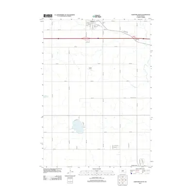
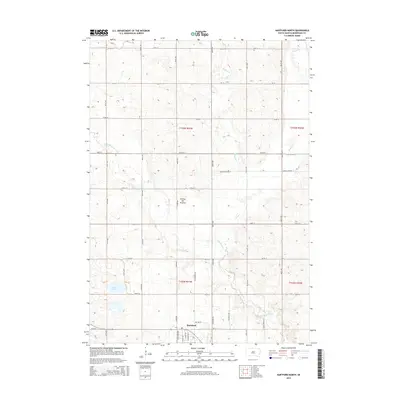
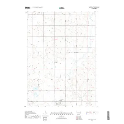
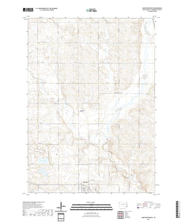 2021 Hartford North2021 Print · USGSMinnehaha County's high glacial plateau is documented here as the town of Hartford expands northward into the surrounding farmland. Genealogists and local historians can trace family land along Skunk Cr, Scotts Slough, and the rural roads branching off Co Hwy 130.
 - 2021 Map of Hartford South, 2021 Print
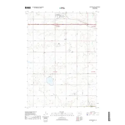
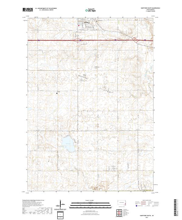 2021 Hartford South2021 Print · USGSMinnehaha County in the 2020s shows a mix of growing prairie settlements and deep-rooted rural landmarks. Genealogists and local historians can trace family sites at Saint George Cem, Lutheran Zion Cem, and the recreational shores of Wall Lake.
 - 2021 Map of Humboldt, 2021 Print
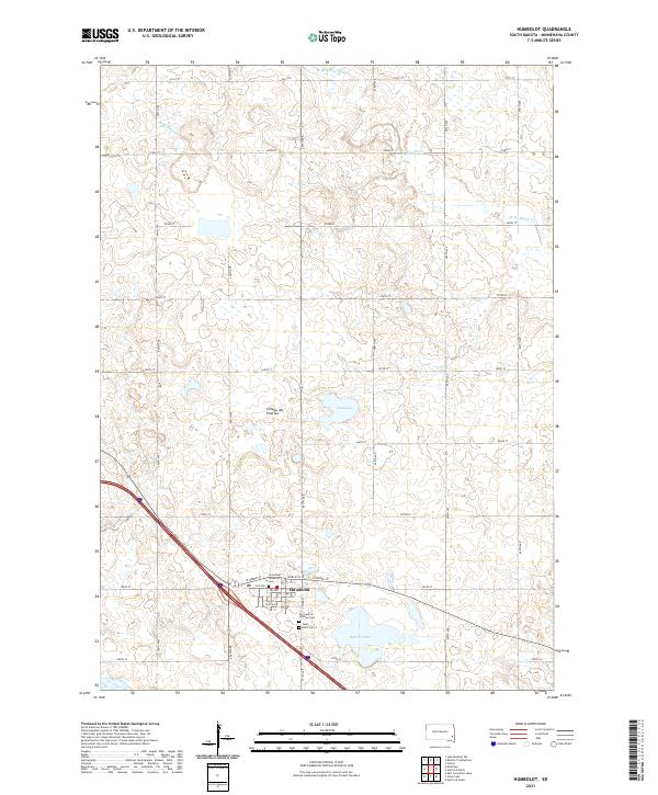 2021 Humboldt2021 Print · USGSHumboldt and the surrounding Minnehaha County countryside are documented here in the early twenty-first century. Genealogists can locate family burial sites at Saint Paul Lutheran Cem and Saint Ann's Cem near the shores of Beaver Lake.
 - 2021 Map of Grass Lake, 2021 Print
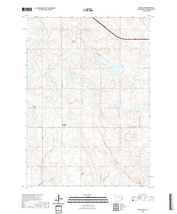 2021 Grass Lake2021 Print · USGSThe Minnehaha County prairie is captured here in the early twenty-first century, showing a landscape shaped by glacial history and the homesteaders' grid. Researchers can trace rural lineages at Saint Joseph Catholic Cem or explore the hydrology of Grass Lake and Long Cr.
End of results
Showing maps 1-24 of 24
Top cities near Hartford Township
- Sioux Falls historical maps
- Harrisburg historical maps
- Tea historical maps
- Hartford historical maps
- Dell Rapids historical maps
- Crooks historical maps
See more
Top neighborhoods of Hartford Township
Frequently asked questions
- What are the different types of historical maps available for Hartford Township?
- What is the oldest map of Hartford Township?
- Where can I purchase historical maps of Hartford Township for my home or office?
- Where can I download high-res historical maps of Hartford Township?
- Are there historical topographic maps available for Hartford Township?
- Is there historical aerial imagery available for Hartford Township?
- Where are historical maps of Hartford Township sourced from?