Old Maps of Red Shirt, Oglala for Hiking & Exploration
Hike through history with 7 historic maps of Red Shirt. Explore old trails, ghost towns, and forgotten backroads — perfect for outdoor adventurers and local explorers.
- Rediscover forgotten places: Map out old mining camps, roads, and footpaths that no longer exist on modern maps.
- Layer with modern tools: Combine with LiDAR or satellite views to plan hikes through historical terrain.
- Made for exploration: Popular among hikers, overlanders, and local history lovers.
Use these maps to find adventure and explore the hidden past of Red Shirt.
Red Shirt, Oglala maps
(7)- 1951 Map of Red Shirt, 1952 Print
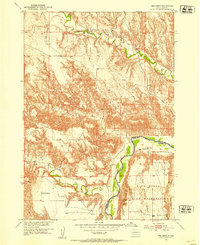 1951 Red Shirt1952 Print · USGSThe Cheyenne River valley and the Pine Ridge Indian Reservation are captured here in the early fifties. Genealogists and historians can trace the settlement at Red Shirt and locate early rural landmarks like Steele Sch and French Creek Sch.3 unique versions available
 - 1955 Map of Hot Springs, 1958 Print
 1955 Hot Springs1958 Print · USGSThe Black Hills and South Dakota badlands are captured here in the mid-fifties, during a peak of military and industrial activity. Researchers can locate the Black Hills Ordnance Depot, early Uranium Mines, and historic rail stops like Pringle or Oglala.5 unique versions available
 - 1981 Map of Wall
 1981 Wall1981 Print · USGSWestern South Dakota in the early eighties reveals a landscape of high tables and deep draws where the prairie meets the Badlands. Researchers can trace the path of the Chicago and North Western rail line and locate rural outposts like Scenic, Conata, and Interior.
 - 2012 Map of Red Shirt, 2012 Print
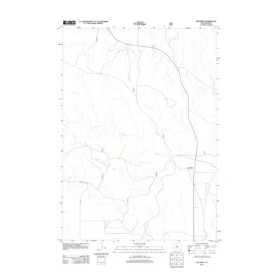 2012 Red Shirt2012 Print · USGSCovers Red Shirt, including Wounded Knee District, Oglala, and other nearby areas
 - 2015 Map of Red Shirt, 2015 Print
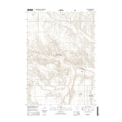 2015 Red Shirt2015 Print · USGSCovers Red Shirt, including Wounded Knee District, Oglala, and other nearby areas
 - 2017 Map of Red Shirt, 2017 Print
 2017 Red Shirt2017 Print · USGSCovers Red Shirt, including Wounded Knee District, Oglala, and other nearby areas
 - 2021 Map of Red Shirt, 2021 Print
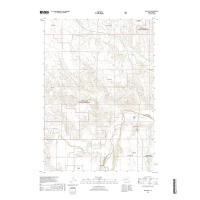
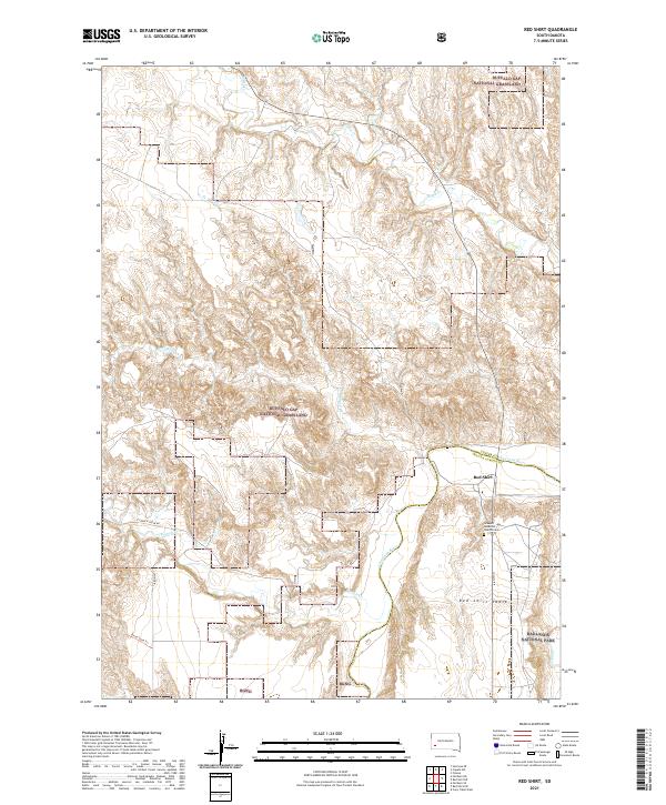 2021 Red Shirt2021 Print · USGSThe Oglala Lakota County border and the Cheyenne River define this South Dakota landscape in 2021. Genealogists and local historians can trace the community around Red Shirt, the Seventh-day Adventist Church Cem, and the high plateau of Red Shirt Table.
End of results
Showing maps 1-7 of 7
Frequently asked questions
- What are the different types of historical maps available for Red Shirt?
- What is the oldest map of Red Shirt?
- Where can I purchase historical maps of Red Shirt for my home or office?
- Where can I download high-res historical maps of Red Shirt?
- Are there historical topographic maps available for Red Shirt?
- Is there historical aerial imagery available for Red Shirt?
- Where are historical maps of Red Shirt sourced from?