Old Maps of Moon, South Dakota for Hiking & Exploration
Hike through history with 11 historic maps of Moon. Explore old trails, ghost towns, and forgotten backroads — perfect for outdoor adventurers and local explorers.
- Rediscover forgotten places: Map out old mining camps, roads, and footpaths that no longer exist on modern maps.
- Layer with modern tools: Combine with LiDAR or satellite views to plan hikes through historical terrain.
- Made for exploration: Popular among hikers, overlanders, and local history lovers.
Use these maps to find adventure and explore the hidden past of Moon.
Moon, SD maps
(11)- 1899 Map of Newcastle, 1964 Print
 1899 Newcastle1964 Print · USGSThe Wyoming-South Dakota borderlands appear here at the close of the nineteenth century, as railroads and ranching reshaped the Black Hills. Researchers can trace early cattle operations like YT Ranch and mining infrastructure at Cambria and Newcastle.
 - 1901 Map of Newcastle
 1901 Newcastle1901 Print · USGSThe Wyoming-South Dakota borderlands come alive in this survey conducted just before the turn of the century, centered on the railroad hub of Newcastle. Genealogists and historians can trace early cattle history at Lak Ranch and the industrial spur leading to the coal-mining town of Cambria.3 unique versions available
 - 1955 Map of Newcastle, 1963 Print
 1955 Newcastle1963 Print · USGSThe high plains of eastern Wyoming and western South Dakota are captured in the mid-fifties, showing a landscape of sprawling ranches and emerging oil fields. Researchers can locate family landmarks like Saunders Ranch, trace the Chicago Burlington & Quincy RR, and explore small rail towns such as Osage and Edgemont.2 unique versions available
 - 1958 Map of Newcastle
 1958 Newcastle1958 Print · USGSThe high plains of eastern Wyoming meet the Black Hills in the late fifties, showcasing a landscape of rail-connected towns and historic trails. Trace the path of the Chicago Burlington & Quincy RR through Newcastle or locate the Bozeman Trail Monument and Summitt Ridge Lookout Tower.
 - 1958 Map of Newcastle, 1960 Print
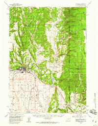 1958 Newcastle1960 Print · USGSNewcastle and the eastern Wyoming borderlands are captured here during a period of infrastructure growth and ranching stability. Genealogists and historians can locate family-named landmarks like the LAK Ranch, the historic Cambria mining area, and the Greenwood Chapel.2 unique versions available
 - 1979 Map of Newcastle
 1979 Newcastle1979 Print · USGSThe energy-rich plains of Weston County meet the Black Hills in the late seventies as oil production and ranching define the landscape. Researchers can trace the Burlington Northern rail lines and explore the vast Fiddler Creek Oil Field or the remote Darlington School.
 - 1984 Map of Moon
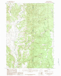 1984 Moon1984 Print · USGSThe high plateau of the Black Hills is captured here in the mid-1980s, documenting the borderlands of Wyoming and South Dakota. Local historians can trace early water rights and land use through named features like Moon, Rudenvale Spring, and Stockade Beaver Creek.
 - 2012 Map of Moon, 2012 Print
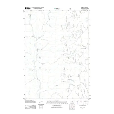 2012 Moon2012 Print · USGSThe high canyons and divides of Pennington County are captured here in the early 21st century. Researchers can trace the remote ranching and water history of the area through labels like the Neuman-Scott Ranch, Martin Thomson Reservoir, and the settlement of Moon.
 - 2015 Map of Moon, 2015 Print
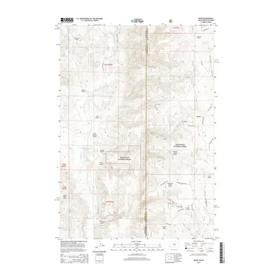 2015 Moon2015 Print · USGSThe high plateau country along the South Dakota-Wyoming border is captured here during the mid-2010s. Researchers can locate the small community of Moon and trace the complex network of mountain drainages and named water sources like Jordon Reservoir and Antelope Springs.
 - 2017 Map of Moon, 2017 Print
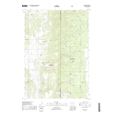 2017 Moon2017 Print · USGSThe rugged high country of the Black Hills straddles the Wyoming and South Dakota border during the late 2010s. Local researchers can trace the remote settlement of Moon and locate isolated water sources like Rudenvale Spring and Martin Thompson Reservoir.
 - 2021 Map of Moon, 2021 Print
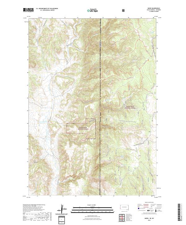 2021 Moon2021 Print · USGSThe Black Hills borderlands at the Wyoming and South Dakota line are captured here in the early twenty-first century. Researchers can trace the drainage of Stockade Beaver Cr and locate high-altitude landmarks like Summit Ridge and Martin Thompson Reservoir.
End of results
Showing maps 1-11 of 11
Top cities near Moon
Frequently asked questions
- What are the different types of historical maps available for Moon?
- What is the oldest map of Moon?
- Where can I purchase historical maps of Moon for my home or office?
- Where can I download high-res historical maps of Moon?
- Are there historical topographic maps available for Moon?
- Is there historical aerial imagery available for Moon?
- Where are historical maps of Moon sourced from?