Old Maps of Quinn, South Dakota for Academic Research
Study the evolution of Quinn with 12 high-resolution historic maps. Whether you're teaching, researching, or modeling changes in land use, these maps provide essential visual documentation of urban, environmental, and geographic change.
- Analyze long-term change: Track patterns in development, transportation, and natural features.
- Ideal for environmental or urban studies: Support academic projects with primary historical map data.
- Use in the classroom or lab: Educators and researchers rely on these maps to bring historical context to life.
These maps are a powerful tool for teaching, research, and visualizing how Quinn has changed over the decades.
Quinn, SD maps
(12)- 1955 Map of Hot Springs, 1958 Print
 1955 Hot Springs1958 Print · USGSThe Black Hills and South Dakota badlands are captured here in the mid-fifties, during a peak of military and industrial activity. Researchers can locate the Black Hills Ordnance Depot, early Uranium Mines, and historic rail stops like Pringle or Oglala.5 unique versions available
 - 1960 Map of Wall, 1961 Print
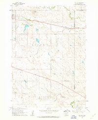
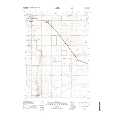
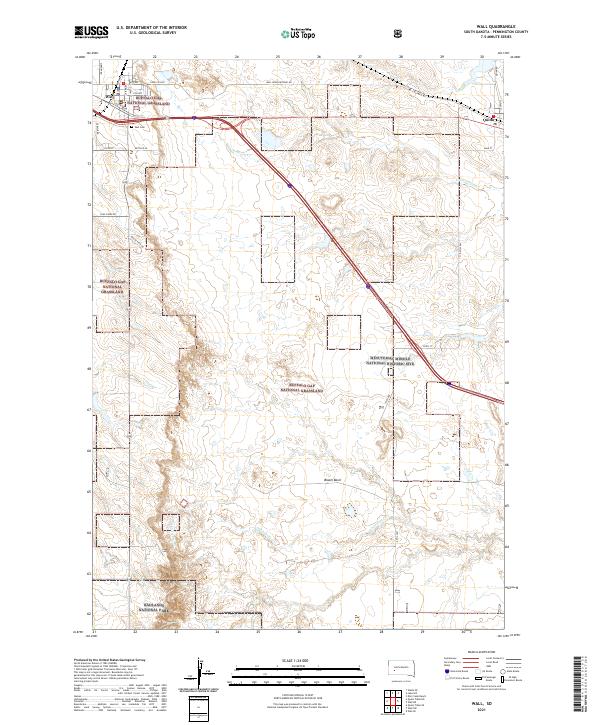
 1960 Wall1961 Print · USGSPennington County at the start of the 1960s reveals a landscape shaped by the transition from the prairie into the northern reaches of the Badlands National Monument. Researchers can trace the rail corridor of the Chicago and North Western through Wall and Quinn.2 unique versions available
 - 1961 Map of Wall NE, 1963 Print
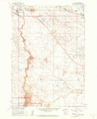
 1961 Wall NE1963 Print · USGSThe town of Quinn and the surrounding ranchlands are documented here in the early 1960s at the intersection of three counties. Genealogists and local historians can trace landmarks like Mt Hope Cem, the Cottonwood Sch, and the Chicago and North Western railroad.2 unique versions available
 - 1981 Map of Wall
 1981 Wall1981 Print · USGSWestern South Dakota in the early eighties reveals a landscape of high tables and deep draws where the prairie meets the Badlands. Researchers can trace the path of the Chicago and North Western rail line and locate rural outposts like Scenic, Conata, and Interior.
 - 2012 Map of Wall, 2012 Print
 2012 Wall2012 Print · USGSCovers Quinn, including Wall, Pennington County, and other nearby areas
 - 2012 Map of Wall NE, 2012 Print
 2012 Wall NE2012 Print · USGSCovers Quinn, including Pennington County, Jackson County, and other nearby areas
 - 2015 Map of Wall NE, 2015 Print
 2015 Wall NE2015 Print · USGSCovers Quinn, including Pennington County, Jackson County, and other nearby areas
 - 2015 Map of Wall, 2015 Print
 2015 Wall2015 Print · USGSCovers Quinn, including Wall, Pennington County, and other nearby areas
 - 2017 Map of Wall NE, 2017 Print
 2017 Wall NE2017 Print · USGSCovers Quinn, including Pennington County, Jackson County, and other nearby areas
 - 2017 Map of Wall, 2017 Print
 2017 Wall2017 Print · USGSCovers Quinn, including Wall, Pennington County, and other nearby areas
 - 2021 Map of Wall NE, 2021 Print
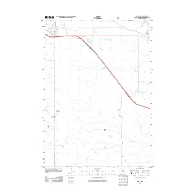
 2021 Wall NE2021 Print · USGSThe prairie around Quinn is documented here as it appeared in the early 2020s. Researchers can trace the borders of the Buffalo Gap National Grassland and locate local landmarks like Quinn Butte and Mount Hope Cem.
 - 2021 Map of Wall, 2021 Print
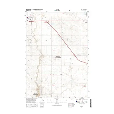
 2021 Wall2021 Print · USGSThe northern plains meet the badlands in this recent survey of the area surrounding Wall. Researchers can locate the Wall Cem, the eastern town of Quinn, and the Minuteman Missile National Historic Site among the expansive grasslands.
End of results
Showing maps 1-12 of 12
Top cities near Quinn
Frequently asked questions
- What are the different types of historical maps available for Quinn?
- What is the oldest map of Quinn?
- Where can I purchase historical maps of Quinn for my home or office?
- Where can I download high-res historical maps of Quinn?
- Are there historical topographic maps available for Quinn?
- Is there historical aerial imagery available for Quinn?
- Where are historical maps of Quinn sourced from?