Old Maps of Wilmot, South Dakota for Metal Detecting
Plan your next treasure hunt with 9 historic maps of Wilmot. Find old homesites, ghost towns, trails, and gathering spots that may be lost to time — perfect for identifying promising metal detecting locations.
- Locate forgotten sites: Uncover places like long-lost settlements, abandoned rail lines, or gathering spots.
- Plan better hunts: Use map overlays combined with LiDAR or satellite views to narrow in on historically rich areas.
- Made for detectorists: Thousands of hobbyists use these maps to discover relics, coins, and hidden history.
Use these historic maps to boost your research and find new opportunities beneath the surface of Wilmot.
Wilmot, SD maps
(9)- 1953 Map of Milbank, 1958 Print
 1953 Milbank1958 Print · USGSThe tri-state border region of South Dakota, North Dakota, and Minnesota is shown here during the early fifties, a landscape defined by glacial lakes and the Sisseton Indian Reservation. Researchers can trace the legacy of the western railroads, locating old stops along the Great Northern and settlements like Milbank, Webster, and Sisseton.3 unique versions available
 - 1958 Map of Milbank
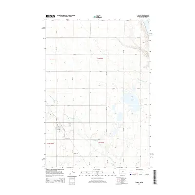
 1958 Milbank1958 Print · USGSThe northern Great Plains in the late fifties show a landscape of glacial lakes and reservation lands shaped by the Great Northern railroad. Genealogists and local historians can trace the grid of settlements from Britton to Milbank and locate landmarks like Enemy Swim Lake and the Sisseton Indian Reservation.
 - 1971 Map of Wilmot, 1974 Print
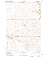 1971 Wilmot1974 Print · USGSWilmot and the surrounding prairie townships are captured here in the early seventies, centered on the Chicago Milwaukee St Paul and Pacific rail line. Researchers can trace local history through sites like the Wilmot Cemetery, Township Cemetery, and the Townhall near Bullhead Lake.
 - 1985 Map of Milbank
 1985 Milbank1985 Print · USGSThe South Dakota and Minnesota border region comes into focus during the mid-eighties as a hub of prairie lakes and rail transport. Genealogists and researchers can trace the lakeside settlements of Hiawatha Beach, the streets of Milbank, and legacy rail lines like the Burlington Northern.
 - 2011 Map of Wilmot, 2011 Print
 2011 Wilmot2011 Print · USGSCovers Wilmot, including Roberts County, Big Stone County, and other nearby areas
 - 2012 Map of Wilmot, 2012 Print
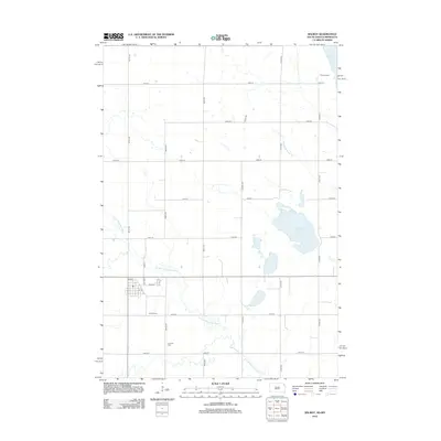 2012 Wilmot2012 Print · USGSCovers Wilmot, including Roberts County, Big Stone County, and other nearby areas
 - 2015 Map of Wilmot, 2015 Print
 2015 Wilmot2015 Print · USGSCovers Wilmot, including Roberts County, Big Stone County, and other nearby areas
 - 2017 Map of Wilmot, 2017 Print
 2017 Wilmot2017 Print · USGSCovers Wilmot, including Roberts County, Big Stone County, and other nearby areas
 - 2021 Map of Wilmot, 2021 Print
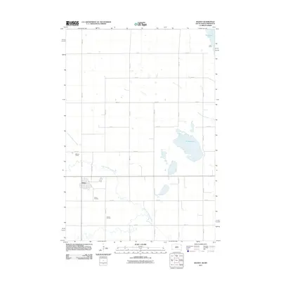
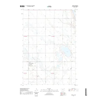
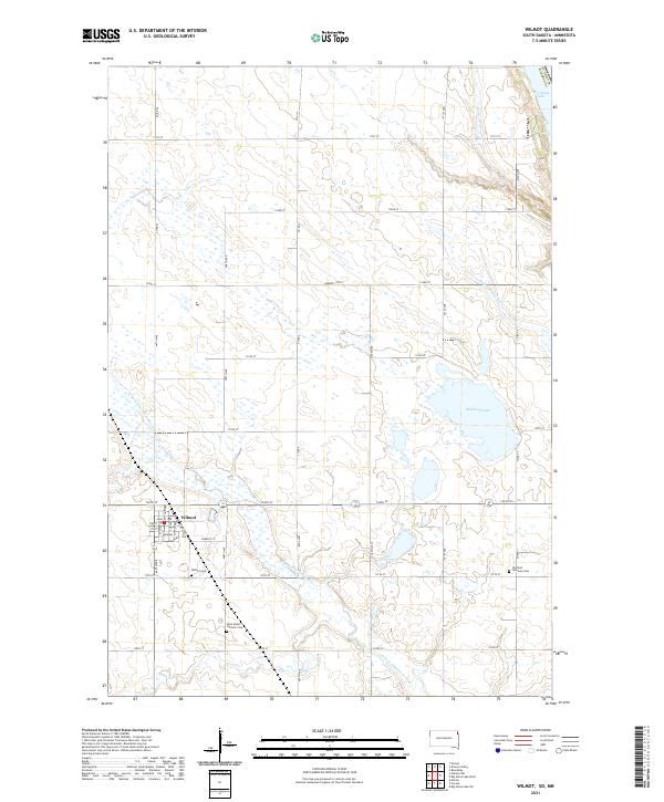 2021 Wilmot2021 Print · USGSWilmot and the surrounding prairie of Roberts County are shown in detail during the early 2020s. Genealogists and local historians can trace family locations near Wilmot Cem, Saint Mary's Catholic Cem, and the waters of Bullhead Lake.
End of results
Showing maps 1-9 of 9
Top cities near Wilmot
- Milbank historical maps
- Goodwill historical maps
- Browns Valley historical maps
- Summit historical maps
- Beardsley historical maps
- Peever historical maps
See more
Frequently asked questions
- What are the different types of historical maps available for Wilmot?
- What is the oldest map of Wilmot?
- Where can I purchase historical maps of Wilmot for my home or office?
- Where can I download high-res historical maps of Wilmot?
- Are there historical topographic maps available for Wilmot?
- Is there historical aerial imagery available for Wilmot?
- Where are historical maps of Wilmot sourced from?