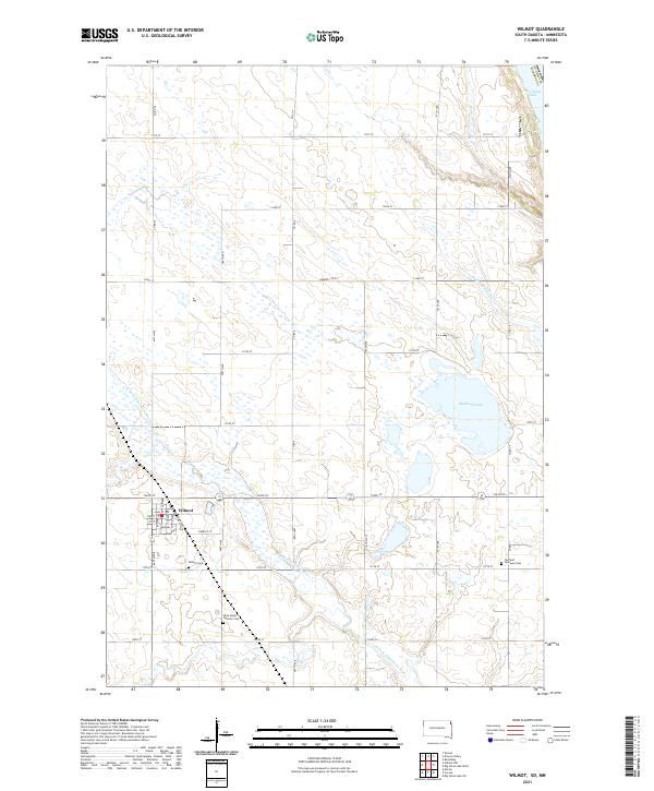
2021 Map of Wilmot
USGS Topo · Published 2021About this map
Wilmot serves as the focal point of this agricultural landscape in northeastern South Dakota, situated near the headwaters of the N Fork Whetstone River. The town's layout is clearly defined by streets such as Main St and Ordway St, surrounded by a patchwork of section lines and rural roads. Significant local history is preserved in the locations of the Wilmot Cem, Saint Mary's Catholic Cem, and Garfield Lutheran Cem, providing essential coordinates for genealogical research in Roberts County. The terrain transitions from the prairie uplands toward the eastern waters of Bullhead Lake and the edges of Big Stone Lake, with drainage provided by the meandering Hartford Beach Cr. The map captures a moment of modern rural continuity, where traditional township and range divisions maintain their importance for land ownership and community structure.
Find a feature on this map
35 named features on this map. Tap any name to fly to it.
Don’t see what you’re looking for? This feature index may not catch every label — zoom into the map to look around manually.
Map Details
Editions of this 2021 Wilmot Map
This is the sole edition of this map. No revisions or reprints were ever made.
Other maps of this area

1916 · Peever
USGS Topo · 1:62,500

1916 · Beardsley
USGS Topo · 1:62,500

1918 · Peever
USGS Topo · 1:62,500

1918 · Beardsley
USGS Topo · 1:62,500

1953 · Milbank
USGS Topo · 1:250,000

1954 · Big Stone Lake
USGS Topo · 1:62,500

1958 · Milbank
USGS Topo · 1:250,000

1970 · Marvin
USGS Topo · 1:24,000

1970 · Wilmot NW
USGS Topo · 1:24,000

1971 · Corona
USGS Topo · 1:24,000