
1970 Map of Marvin
USGS Topo · Published 1973About this map
Marvin and the surrounding prairie of northeastern South Dakota are documented in this 1970 survey, which highlights a landscape shaped by both early religious settlements and heavy rail infrastructure. The Chicago Milwaukee St Paul and Pacific railroad cuts a prominent diagonal path across the territory, crossing through Osceola toward the Marvin townsite. A notable landmark is the Blue Cloud Abbey, situated near the southern edge of the map, reflecting the region's spiritual history. Rural landmarks such as the Eastman Cem and a remote Townhall serve as focal points for local genealogy and history. The terrain is dotted with several water bodies, most notably Twin Lakes in the southwest, and features signs of local industry including a Gravel Pit and a small Landing Strip.
Find a feature on this map
14 named features on this map. Tap any name to fly to it.
Don’t see what you’re looking for? This feature index may not catch every label — zoom into the map to look around manually.
Map Details
Editions of this 1970 Marvin Map
This is the sole edition of this map. No revisions or reprints were ever made.
Other maps of this area

1953 · Milbank
USGS Topo · 1:250,000

1958 · Milbank
USGS Topo · 1:250,000

1970 · Summit
USGS Topo · 1:24,000

1970 · Summit NE
USGS Topo · 1:24,000

1970 · Wilmot NW
USGS Topo · 1:24,000

1970 · Still Lake NE
USGS Topo · 1:24,000

1971 · Corona
USGS Topo · 1:24,000
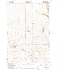
1971 · Wilmot
USGS Topo · 1:24,000

1973 · Twin Brooks
USGS Topo · 1:24,000
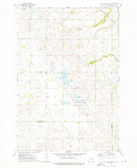
1973 · Antelope Valley
USGS Topo · 1:24,000