
1973 Map of Twin Brooks
USGS Topo · Published 1975About this map
Twin Brooks serves as the central hub of this eastern South Dakota landscape, situated along the prominent corridor of the Chicago Milwaukee St Paul and Pacific railroad. The geography is defined by the drainage patterns of the South Fork Whetstone River in the north and the headwaters of the North Fork Yellow Bank River to the south. Land use at the time of this 1970s survey reflects a established rural structure, marked by significant local landmarks such as the Township Cem and a Gravel Pit located near the railway line. The map captures the division of the prairie into several civil townships, including Kilborn, Stockholm, and Madison, showing the grid of section lines and unimproved roads that connected these farming communities.
Find a feature on this map
12 named features on this map. Tap any name to fly to it.
Don’t see what you’re looking for? This feature index may not catch every label — zoom into the map to look around manually.
Map Details
Editions of this 1973 Twin Brooks Map
This is the sole edition of this map. No revisions or reprints were ever made.
Other maps of this area

1953 · Milbank
USGS Topo · 1:250,000

1954 · Big Stone Lake
USGS Topo · 1:62,500

1958 · Milbank
USGS Topo · 1:250,000

1970 · Marvin
USGS Topo · 1:24,000

1971 · Corona
USGS Topo · 1:24,000

1971 · Big Stone Lake SW
USGS Topo · 1:24,000

1973 · LaBolt
USGS Topo · 1:24,000
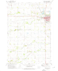
1973 · Milbank West
USGS Topo · 1:24,000

1973 · Stockholm
USGS Topo · 1:24,000
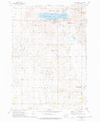
1973 · South Shore
USGS Topo · 1:24,000