
1971 Map of Big Stone Lake SW
USGS Topo · Published 1974About this map
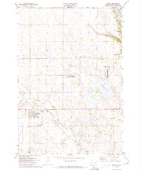
The North Fork Whetstone River carves a winding path through the prairie of Grant and Roberts counties in this early 1970s survey. The landscape is defined by the legacy of early land divisions, most notably the Old Indian Treaty Boundary that cuts diagonally across the townships of Melrose and Kilborn. Cultural landmarks like the rural Townhall and the Lutheran Cem reflect the community structure of the time, while the National Waterfowl Production Area indicates the region's importance for conservation and habitat. Transportation and local industry are marked by the Chicago Milwaukee St Paul and Pacific railroad line and scattered Gravel Pits, showing the infrastructure that supported the agricultural economy of eastern South Dakota.
Find a feature on this map
14 named features on this map. Tap any name to fly to it.
Don’t see what you’re looking for? This feature index may not catch every label — zoom into the map to look around manually.
Map Details
Editions of this 1971 Big Stone Lake SW Map
This is the sole edition of this map. No revisions or reprints were ever made.
Other maps of this area

1953 · Milbank
USGS Topo · 1:250,000

1954 · Big Stone Lake
USGS Topo · 1:62,500

1958 · Milbank
USGS Topo · 1:250,000

1971 · Big Stone Lake East
USGS Topo · 1:24,000

1971 · Corona
USGS Topo · 1:24,000

1971 · Big Stone Lake West
USGS Topo · 1:24,000

1971 · Big Stone Lake SE
USGS Topo · 1:24,000
1971 · Wilmot
USGS Topo · 1:24,000

1973 · Twin Brooks
USGS Topo · 1:24,000
1973 · Milbank West
USGS Topo · 1:24,000