Old Maps of Diana Township, South Dakota for Genealogy
Trace your family roots with 28 historic maps of Diana Township. These high-res maps reveal old neighborhoods, homesites, landmarks, and streets — helping you uncover where your ancestors lived and how the area evolved over time.
- Explore historic neighborhoods: Identify where your relatives may have lived in the 1800s or 1900s.
- Compare maps over time: Trace the changes in streets, buildings, and landmarks for multi-generational research.
- Perfect for genealogy & ancestry research: Used by family historians and researchers to map out lineage and migration.
These maps are an incredible resource for exploring your personal connection to Diana Township's past.
Diana Township, SD maps
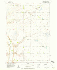
(28)- 1899 Map of Alexandria
 1899 Alexandria1899 Print · USGSHanson County and the James River valley are captured here at the peak of the late-nineteenth-century rail boom. Genealogists can trace family footprints in early settlements like Rockport, Epiphany, and Alexandria or follow the path of the James River.5 unique versions available
 - 1899 Map of De Smet
 1899 De Smet1899 Print · USGSEastern South Dakota in the 1890s appears as a landscape of rapid rail expansion and nascent prairie towns. You can trace early settlement patterns and transport hubs like De Smet, Carthage, and Iroquois along the Chicago and Northwestern R. R.2 unique versions available
 - 1953 Map of Watertown, 1968 Print
 1953 Watertown1968 Print · USGSEastern South Dakota and the Minnesota borderlands are captured here during the mid-twentieth century as the region's agricultural and rail-service centers thrived. Genealogists and local historians can trace family-named sites across the Coteau des Prairies and find landmarks in Watertown, De Smet, and Brookings.3 unique versions available
 - 1955 Map of Sioux Falls, 1967 Print
 1955 Sioux Falls1967 Print · USGSThe eastern South Dakota and western Minnesota borderlands come alive in the mid-fifties, showing the vital rail-to-river connections of the era. Genealogists can trace family footprints across townships like Madison and Pipestone, while following the paths of the Big Sioux River and the Chicago and North Western line.3 unique versions available
 - 1957 Map of Farwell NW, 1958 Print
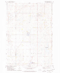
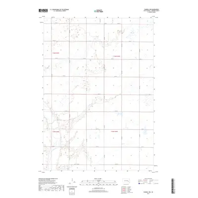
 1957 Farwell NW1958 Print · USGSSanborn County agriculture and rural education are captured here in the mid-fifties as the prairie landscape underwent significant change. Genealogists can trace family land across Butler or Ravenna and locate former community centers like the Hodson Sch or Goering Sch.2 unique versions available
 - 1958 Map of Sioux Falls
 1958 Sioux Falls1958 Print · USGSThe tri-state borderlands of South Dakota, Minnesota, and Iowa are captured here during the mid-century peak of the regional rail network. Genealogists and historians can trace local landmarks like Augustana Academy, the St Marys Cem, and the path of the Illinois Central through Rock Rapids.
 - 1958 Map of Watertown
 1958 Watertown1958 Print · USGSThe eastern South Dakota prairie and the Minnesota borderlands are captured here in the late fifties, showcasing a landscape of terminal moraine lakes and burgeoning rail hubs. Genealogists and historians can trace the early paths of the Chicago and North Western railroad or locate family roots in Watertown, Clark, or the Sisseton Indian Reservation.2 unique versions available
 - 1971 Map of Fedora, 1973 Print
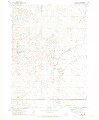
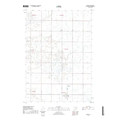
 1971 Fedora1973 Print · USGSMiner County's rural townships are captured here in the early 1970s as the rail-driven economy still shaped the plains. Researchers can locate family sites near Glen View Ch, Morgans Cem, or the Milwaukee Road corridor.
 - 1971 Map of Artesian, 1973 Print
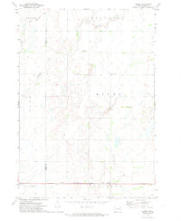
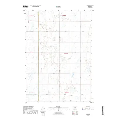
 1971 Artesian1973 Print · USGSArtesian and the surrounding Sanborn County townships are shown here in the early seventies, centered on the Milwaukee Road railroad. Genealogists and researchers can locate St Anthonys Cem, the local Townhall, and the winding path of Redstone Creek.
 - 1973 Map of Morris Lake, 1978 Print
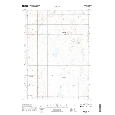
 1973 Morris Lake1978 Print · USGSThe border of Sanborn and Miner Counties was a landscape of conservation and prairie agriculture in the 1970s. Researchers can locate landmarks like Beulah Ch and Farwell Cem, or trace the wetlands of O'Neal Lake and the Morris Lake shooting area.
 - 1985 Map of Salem
 1985 Salem1985 Print · USGSEastern South Dakota’s prairie landscape is showcased in the mid-eighties, highlighting a region defined by agricultural colonies and rail-linked towns. Genealogists and historians can trace the foundations of Rosedale Colony, the Buffalo Trading Post, and early hubs like Salem.
 - 1985 Map of De Smet, 1986 Print
 1985 De Smet1986 Print · USGSEastern South Dakota in the mid-eighties shows a landscape of prairie rail towns and sprawling glacial lakes. Researchers can trace the routes of the Chicago and North Western through De Smet or locate communal sites like Pearl Creek Colony and Cloverleaf Colony.3 unique versions available
 - 2012 Map of Farwell NW, 2012 Print
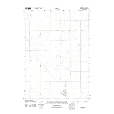
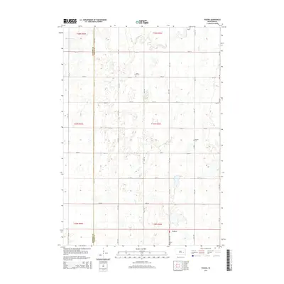
 2012 Farwell NW2012 Print · USGSCovers Diana Township, including Union Township, Butler Township, and other nearby areas
 - 2012 Map of Morris Lake, 2012 Print
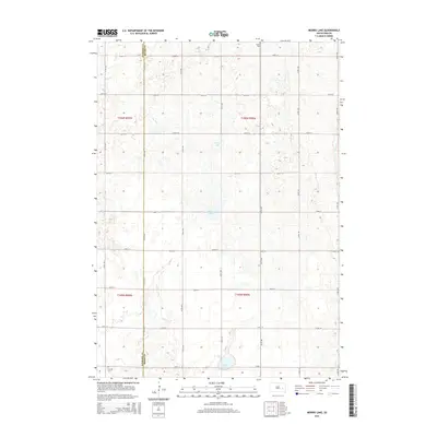
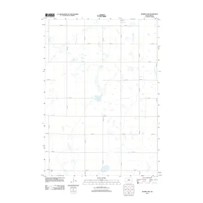 2012 Morris Lake2012 Print · USGSCovers Diana Township, including Ravenna Township, Clinton Township, and other nearby areas
 - 2012 Map of Fedora, 2012 Print
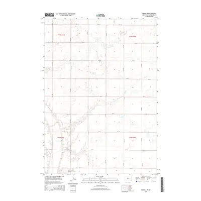
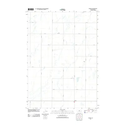 2012 Fedora2012 Print · USGSCovers Diana Township, including Benedict Township, Afton Township, and other nearby areas
 - 2012 Map of Artesian, 2012 Print
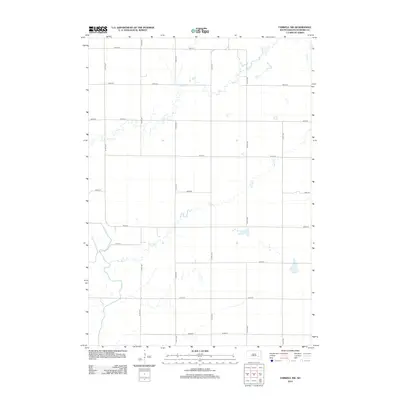
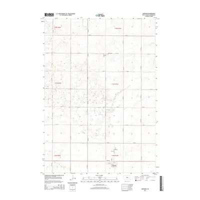
 2012 Artesian2012 Print · USGSCovers Diana Township, including Artesian, Benedict Township, and other nearby areas
 - 2015 Map of Fedora, 2015 Print
 2015 Fedora2015 Print · USGSCovers Diana Township, including Benedict Township, Afton Township, and other nearby areas
 - 2015 Map of Artesian, 2015 Print
 2015 Artesian2015 Print · USGSCovers Diana Township, including Artesian, Benedict Township, and other nearby areas
 - 2015 Map of Farwell NW, 2015 Print
 2015 Farwell NW2015 Print · USGSCovers Diana Township, including Union Township, Butler Township, and other nearby areas
 - 2015 Map of Morris Lake, 2015 Print
 2015 Morris Lake2015 Print · USGSCovers Diana Township, including Ravenna Township, Clinton Township, and other nearby areas
 - 2017 Map of Morris Lake, 2017 Print
 2017 Morris Lake2017 Print · USGSCovers Diana Township, including Ravenna Township, Clinton Township, and other nearby areas
 - 2017 Map of Farwell NW, 2017 Print
 2017 Farwell NW2017 Print · USGSCovers Diana Township, including Union Township, Butler Township, and other nearby areas
 - 2017 Map of Artesian, 2017 Print
 2017 Artesian2017 Print · USGSCovers Diana Township, including Artesian, Benedict Township, and other nearby areas
 - 2017 Map of Fedora, 2017 Print
 2017 Fedora2017 Print · USGSCovers Diana Township, including Benedict Township, Afton Township, and other nearby areas
 - 2021 Map of Morris Lake, 2021 Print
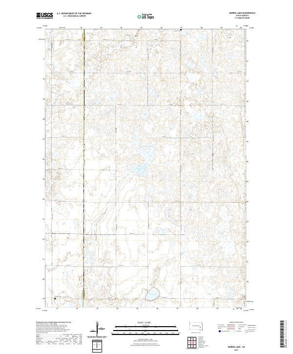 2021 Morris Lake2021 Print · USGSMiner and Sanborn counties are captured here in the early twenty-first century, showing a prairie landscape shaped by seasonal waters and section-line roads. Genealogists and local historians can locate Fedora Cem and Farwell Cem or trace the drainage of Jim Cr and Morris Lake.
Showing maps 1-25 of 28
Top cities near Diana Township
- Mitchell historical maps
- Letcher historical maps
- Carthage historical maps
- Artesian historical maps
- Plano historical maps
- Roswell historical maps
Top neighborhoods of Diana Township
Frequently asked questions
- What are the different types of historical maps available for Diana Township?
- What is the oldest map of Diana Township?
- Where can I purchase historical maps of Diana Township for my home or office?
- Where can I download high-res historical maps of Diana Township?
- Are there historical topographic maps available for Diana Township?
- Is there historical aerial imagery available for Diana Township?
- Where are historical maps of Diana Township sourced from?