Old Maps of Sumner Township, South Dakota for Metal Detecting
Plan your next treasure hunt with 29 historic maps of Sumner Township. Find old homesites, ghost towns, trails, and gathering spots that may be lost to time — perfect for identifying promising metal detecting locations.
- Locate forgotten sites: Uncover places like long-lost settlements, abandoned rail lines, or gathering spots.
- Plan better hunts: Use map overlays combined with LiDAR or satellite views to narrow in on historically rich areas.
- Made for detectorists: Thousands of hobbyists use these maps to discover relics, coins, and hidden history.
Use these historic maps to boost your research and find new opportunities beneath the surface of Sumner Township.
Sumner Township, SD maps
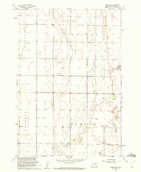
(29)- 1894 Map of Conde
 1894 Conde1894 Print · USGSThe James River Valley region during the pioneer era of the 1890s reveals a landscape defined by the arrival of the rails. Trace the early township developments of Benton and Tetonka and locate early railway stops at Conde, Turton, and Verdon.
 - 1895 Map of Byron
 1895 Byron1895 Print · USGSEastern South Dakota was rapidly organizing into townships when this survey was conducted. You can trace the path of the Chicago and Northwestern R. R. through early settlements like Frankfort, Doland, and Ashton.4 unique versions available
 - 1895 Map of Aberdeen
 1895 Aberdeen1895 Print · USGSNortheastern South Dakota was rapidly evolving in the 1890s as a vital railroad corridor through the James River Valley. Local historians and genealogists can trace the early layout of rail-side towns like Warner, Groton, and the burgeoning hub of Aberdeen.4 unique versions available
 - 1953 Map of Huron, 1959 Print
 1953 Huron1959 Print · USGSCentral South Dakota comes alive in the mid-1950s as a thriving rail and agricultural corridor between the Missouri and James Rivers. Trace the legacy of family farms and prairie towns like Huron, Faulkton, and Wessington Springs along the historic Chicago and North Western rail lines.3 unique versions available
 - 1954 Map of Aberdeen, 1964 Print
 1954 Aberdeen1964 Print · USGSNortheastern South Dakota in the mid-fifties remains a world of rail-dependent prairie towns and sweeping waterfowl refuges. Genealogists can trace family roots through settlements like Eureka and Ipswich or locate rural landmarks near Richmond Lake.2 unique versions available
 - 1954 Map of Huron, 1977 Print
 1954 Huron1977 Print · USGSCentral South Dakota was a landscape of grain elevators and river bends during the mid-fifties. Genealogists and historians can trace the development of the James River valley through railroad towns like Redfield and the sprawling Crow Creek Indian Reservation.
 - 1956 Map of Aberdeen
 1956 Aberdeen1956 Print · USGSUpper South Dakota during the mid-fifties remains a landscape of rail-connected farming towns and expansive glacial lake basins. Genealogists and historians can trace the paths of the Minneapolis and St Louis railroad through Gettysburg or locate vanished stops near Elm Lake and Richmond Lake.
 - 1960 Map of Conde SW, 1961 Print
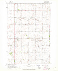
 1960 Conde SW1961 Print · USGSSpink County’s rural townships are captured here in the early sixties as the Missouri River Basin development era shaped the plains. Researchers can locate the local Townhall, several Flowing Well sites, and the meandering path of Timber Creek.
 - 1960 Map of Turton, 1962 Print
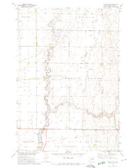
 1960 Turton1962 Print · USGSThe Spink County prairie comes into focus during the early sixties, centered on the rail-side settlement of Turton. Genealogists and researchers can trace the old Chicago and North Western line and locate local landmarks like the Flowing Well.2 unique versions available
 - 1971 Map of Doland NW, 1974 Print
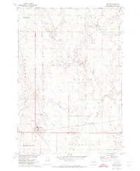
 1971 Doland NW1974 Print · USGSSpink County agriculture and drainage patterns are on display here in the early 1970s. Genealogists and historians can trace the path of Timber Creek and locate the Old Railroad Grade as it passes through Belle Plaine.
 - 1971 Map of Doland, 1974 Print
 1971 Doland1974 Print · USGSThe township of Doland is captured here during the early seventies, showing a classic South Dakota rail-and-grid landscape. Genealogists and local historians can trace the Chicago and North Western line, an Old Railroad Grade, and the Doland Cem.
 - 1985 Map of Aberdeen
 1985 Aberdeen1985 Print · USGSThe James River valley of South Dakota is seen here in the mid-eighties, centered on the growing hub of Aberdeen. Genealogists and historians can trace the rail corridors of the Chicago and North Western or find rural landmarks like Bath Corner and South Scatterwood Lake.2 unique versions available
 - 1985 Map of Redfield, 1986 Print
 1985 Redfield1986 Print · USGSSpink and Hand counties are captured here in the mid-1980s, revealing a landscape of rail-dependent prairie towns and extensive waterfowl conservation areas. Genealogists and historians can trace the Chicago and North Western rail lines through Redfield to outlying settlements like Tulare and Frankfort.
 - 2012 Map of Doland NW, 2012 Print
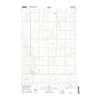
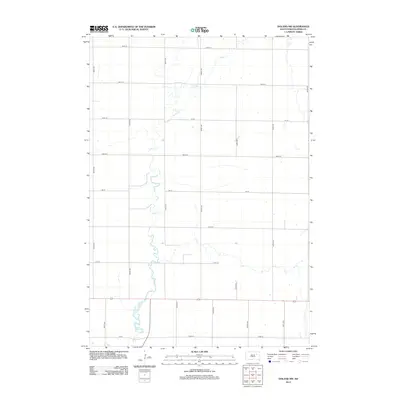 2012 Doland NW2012 Print · USGSCovers Sumner Township, including Harmony Township, Prairie Center Township, and other nearby areas
 - 2012 Map of Conde SW, 2012 Print
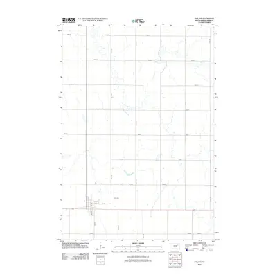
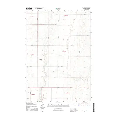
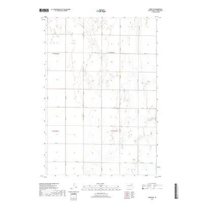
 2012 Conde SW2012 Print · USGSCovers Sumner Township, including Tetonka Township, Clifton Township, and other nearby areas
 - 2012 Map of Turton, 2012 Print
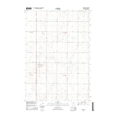
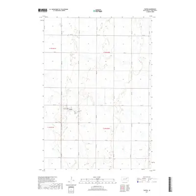
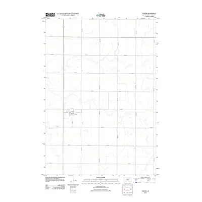 2012 Turton2012 Print · USGSCovers Sumner Township, including Turton, Turton Township, and other nearby areas
 - 2012 Map of Doland, 2012 Print
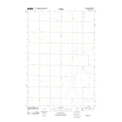
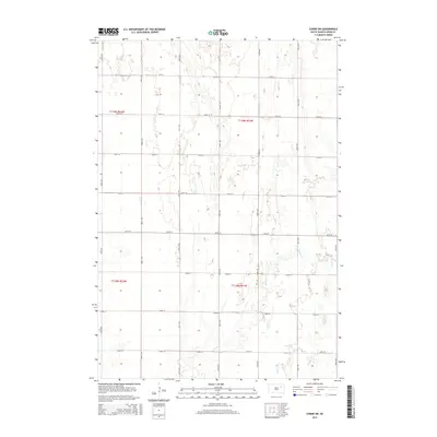
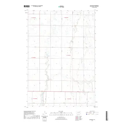
 2012 Doland2012 Print · USGSCovers Sumner Township, including Doland, Turton Township, and other nearby areas
 - 2015 Map of Turton, 2015 Print
 2015 Turton2015 Print · USGSCovers Sumner Township, including Turton, Turton Township, and other nearby areas
 - 2015 Map of Conde SW, 2015 Print
 2015 Conde SW2015 Print · USGSCovers Sumner Township, including Tetonka Township, Clifton Township, and other nearby areas
 - 2015 Map of Doland, 2015 Print
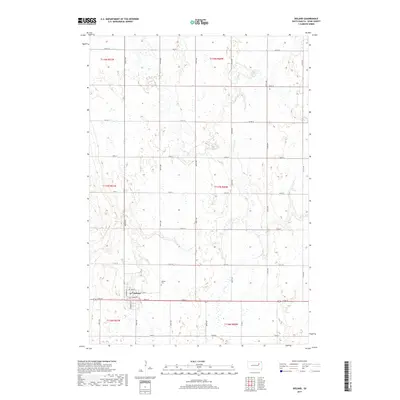
 2015 Doland2015 Print · USGSCovers Sumner Township, including Doland, Turton Township, and other nearby areas
 - 2015 Map of Doland NW, 2015 Print
 2015 Doland NW2015 Print · USGSCovers Sumner Township, including Harmony Township, Prairie Center Township, and other nearby areas
 - 2017 Map of Doland NW, 2017 Print
 2017 Doland NW2017 Print · USGSCovers Sumner Township, including Harmony Township, Prairie Center Township, and other nearby areas
 - 2017 Map of Doland, 2017 Print
 2017 Doland2017 Print · USGSCovers Sumner Township, including Doland, Turton Township, and other nearby areas
 - 2017 Map of Turton, 2017 Print
 2017 Turton2017 Print · USGSCovers Sumner Township, including Turton, Turton Township, and other nearby areas
 - 2017 Map of Conde SW, 2017 Print
 2017 Conde SW2017 Print · USGSCovers Sumner Township, including Tetonka Township, Clifton Township, and other nearby areas
Showing maps 1-25 of 29
Top cities near Sumner Township
- Doland historical maps
- Conde historical maps
- Frankfort historical maps
- Raymond historical maps
- Brentford historical maps
- Turton historical maps
See more
Frequently asked questions
- What are the different types of historical maps available for Sumner Township?
- What is the oldest map of Sumner Township?
- Where can I purchase historical maps of Sumner Township for my home or office?
- Where can I download high-res historical maps of Sumner Township?
- Are there historical topographic maps available for Sumner Township?
- Is there historical aerial imagery available for Sumner Township?
- Where are historical maps of Sumner Township sourced from?