Old Maps of Rosebud, Antelope Segment for Hiking & Exploration
Hike through history with 8 historic maps of Rosebud. Explore old trails, ghost towns, and forgotten backroads — perfect for outdoor adventurers and local explorers.
- Rediscover forgotten places: Map out old mining camps, roads, and footpaths that no longer exist on modern maps.
- Layer with modern tools: Combine with LiDAR or satellite views to plan hikes through historical terrain.
- Made for exploration: Popular among hikers, overlanders, and local history lovers.
Use these maps to find adventure and explore the hidden past of Rosebud.
Rosebud, Antelope Segment maps
(8)- 1955 Map of Martin, 1968 Print
 1955 Martin1968 Print · USGSTribal lands and rail corridors define the South Dakota plains in the mid-fifties, from the sand hills to the badlands. Genealogists and historians can trace the early layout of Pine Ridge Indian Reservation settlements and find small rail towns like Stamford and Witten.2 unique versions available
 - 1958 Map of Martin
 1958 Martin1958 Print · USGSSouth Dakota's southern plains are documented here in the late fifties, showing the expansive Pine Ridge and Rosebud Indian Reservations. Genealogists and historians can locate early settlements along the Chicago Milwaukee St Paul and Pacific line or find family roots near Martin and the Indian Cemetery.
 - 1982 Map of Olsonville SE
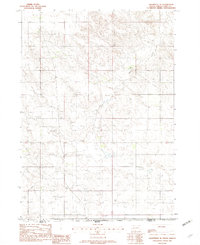 1982 Olsonville SE1982 Print · USGSThe South Dakota and Nebraska borderlands are captured in the early eighties, showing the quiet transition between Todd Co and Cherry Co. Researchers can trace the natural drainage patterns of Rock Creek and smaller seasonal Creek beds across the prairie landscape.
 - 1982 Map of Mission, 1983 Print
 1982 Mission1983 Print · USGSThe Rosebud Reservation in the early eighties shows a landscape of plains communities and aviation outposts. Genealogists and researchers can trace local centers like Mission, Rosebud, and St Francis, or locate family landmarks near Antelope Lake and the Keya Paha River.
 - 2012 Map of Olsonville SE, 2012 Print
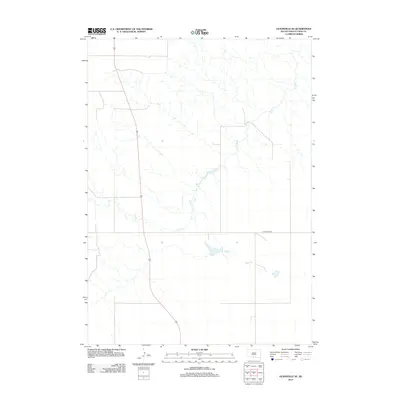 2012 Olsonville SE2012 Print · USGSCovers Rosebud, including Antelope Segment, Sicangu Village, and other nearby areas
 - 2015 Map of Olsonville SE, 2015 Print
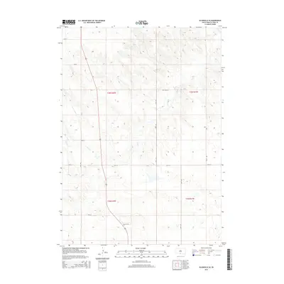 2015 Olsonville SE2015 Print · USGSCovers Rosebud, including Antelope Segment, Sicangu Village, and other nearby areas
 - 2017 Map of Olsonville SE, 2017 Print
 2017 Olsonville SE2017 Print · USGSCovers Rosebud, including Antelope Segment, Sicangu Village, and other nearby areas
 - 2021 Map of Olsonville SE, 2021 Print
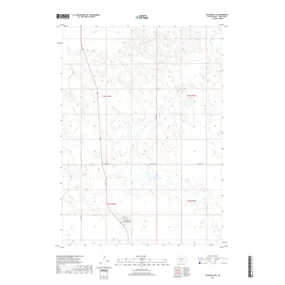
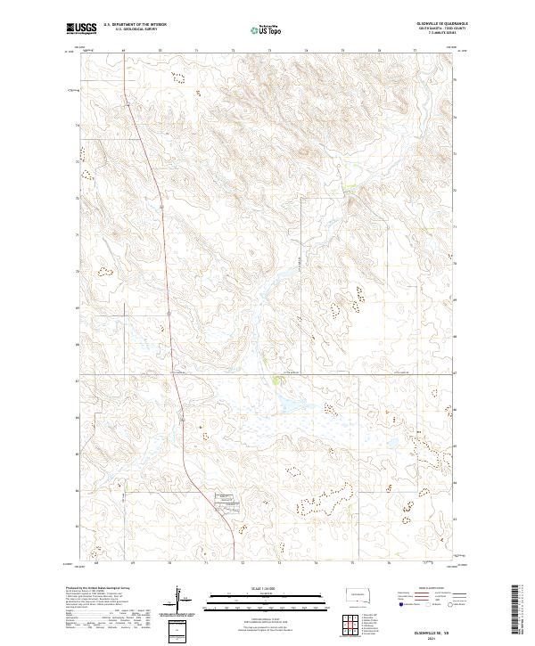 2021 Olsonville SE2021 Print · USGSThe open prairie of Todd County was surveyed in the early twenty-first century, showing a landscape of scattered rural roads and watercourses. Genealogists and local historians can trace residential patterns along Village Loop Rd and the banks of Rock Cr.
End of results
Showing maps 1-8 of 8
Top cities near Rosebud
Frequently asked questions
- What are the different types of historical maps available for Rosebud?
- What is the oldest map of Rosebud?
- Where can I purchase historical maps of Rosebud for my home or office?
- Where can I download high-res historical maps of Rosebud?
- Are there historical topographic maps available for Rosebud?
- Is there historical aerial imagery available for Rosebud?
- Where are historical maps of Rosebud sourced from?