2020s Maps of Okreek Segment, South Dakota
Explore 18 historic maps of Okreek Segment from the 2020s. These maps offer a rare glimpse into what life looked like during the 2020s — showing old roads, neighborhoods, homes, and landmarks that have changed or disappeared over time.
Whether you're researching your family's past, planning a metal detecting trip, or studying how Okreek Segment's landscape evolved across the 2020s, these high-resolution maps are a powerful tool for exploring the history of this region.
- Focus on a specific era: All maps on this page are from the 2020s, giving you a focused view of this time period.
- See what’s changed: Compare century-old streets, trails, and buildings to today's modern landscape using overlays and satellite layers.
- Research with precision: Use these maps for genealogy, historical research, land use analysis, or educational projects.
- View, download, or print: Maps are fully viewable online in high resolution, and can be downloaded or printed for your own records.
Start exploring Okreek Segment's history through authentic maps from the 2020s. This is your window into the past.
Okreek Segment, SD maps
(18)- 2021 Map of Norden NW, 2021 Print
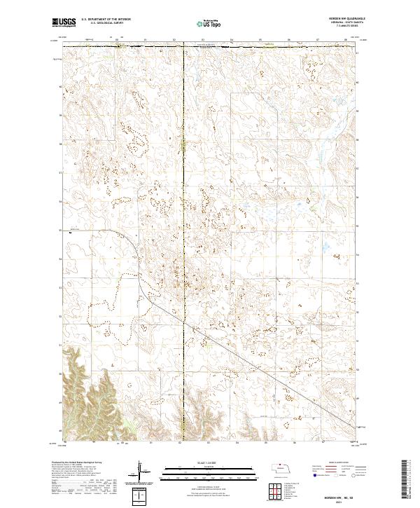 2021 Norden NW2021 Print · USGSThe Nebraska-South Dakota borderlands in the early 2020s remain a landscape of vast cattle range and quiet section roads. Genealogists and local historians can locate the Sparks Cem and trace the paths of Shadley Cr and Coleman Cr through the hills.
 - 2021 Map of Cornell Dam, 2021 Print
 2021 Cornell Dam2021 Print · USGSCherry County, Nebraska, and the South Dakota borderlands are shown here in the early 2020s, dominated by the protected Fort Niobrara National Wildlife Refuge. Researchers can map the river corridor to find Cornell Dam, the heights of Tyler Falls, and the spans of Buffalo Bridge.
 - 2021 Map of Okreek SE, 2021 Print
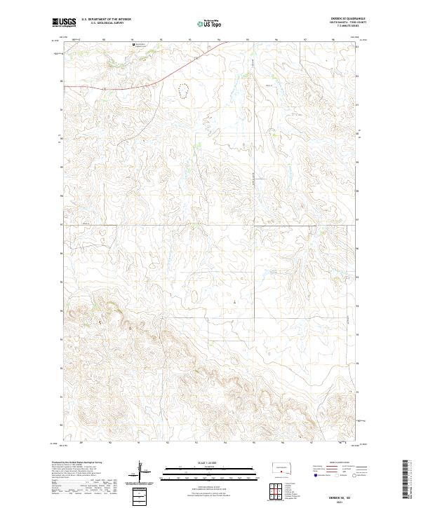 2021 Okreek SE2021 Print · USGSTodd County prairie land is documented in this 2021 survey, showing the rural grid and watercourses of south-central South Dakota. Researchers can locate Saint Peter's Catholic Cem and trace the paths of Oak Cr and W White Horse Cr.
 - 2021 Map of Hidden Timber NE, 2021 Print
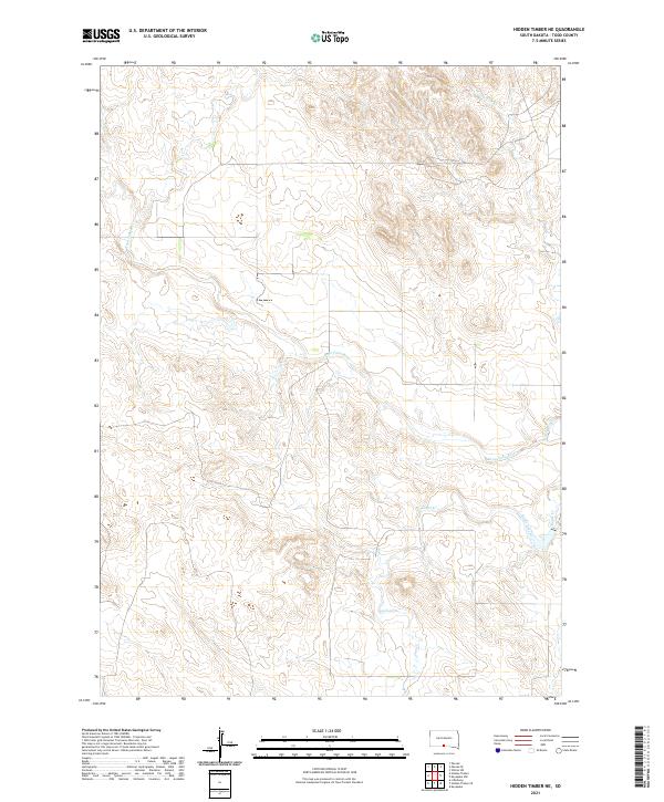 2021 Hidden Timber NE2021 Print · USGSTodd County's prairie landscape is captured in the early 2020s, showing a territory defined by its watercourses and land divisions. Researchers can trace the winding path of the Keya Paha River and its tributaries like Eagle Creek and Crazy Hole Cr.
 - 2021 Map of Okreek, 2021 Print
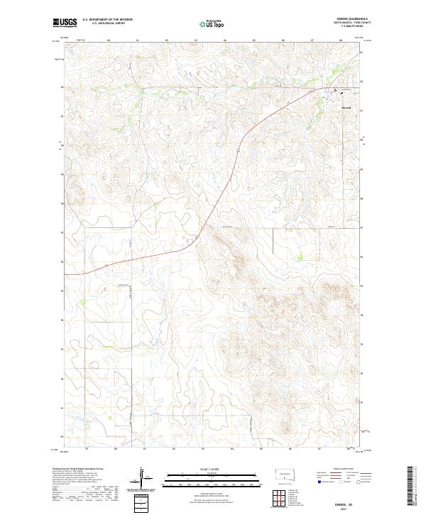 2021 Okreek2021 Print · USGSTodd County, South Dakota, is documented here in the early 2020s, showing the enduring rural layout of the northern plains. Local history researchers can trace family connections at Calvary Cem or follow the paths of Oak Cr and Hidden Timber Rd.
 - 2021 Map of Hidden Timber SE, 2021 Print
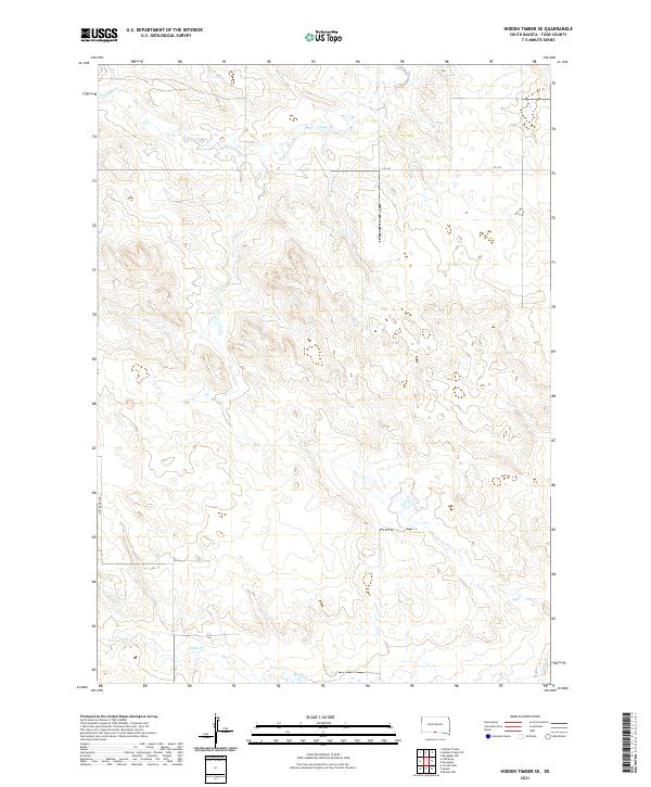 2021 Hidden Timber SE2021 Print · USGSTodd County's open prairie and rolling draws are captured here in the early twenty-first century. Researchers can trace the paths of Eagle Cr and Sand Cr or follow the path of Little Burg Rd across the reservation landscape.
 - 2021 Map of Mosher, 2021 Print
 2021 Mosher2021 Print · USGSMellette County ranching country is captured here in the early twenty-first century, showing the enduring structure of the Great Plains landscape. Researchers can trace the drainages of Oak Cr and White Horse Cr as they wind through the vicinity of Mosher.
 - 2021 Map of Hidden Timber, 2021 Print
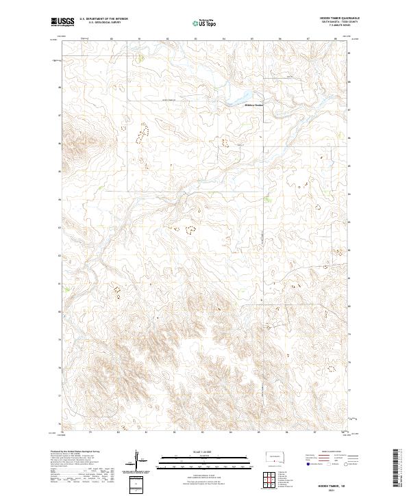 2021 Hidden Timber2021 Print · USGSTodd County during the early twenty-first century is captured here as a landscape of wide-open spaces and essential river systems. Researchers can trace the winding course of the Keya Paha River and locate the community of Hidden Timber along Hidden Timber Rd.
 - 2021 Map of Littleburg, 2021 Print
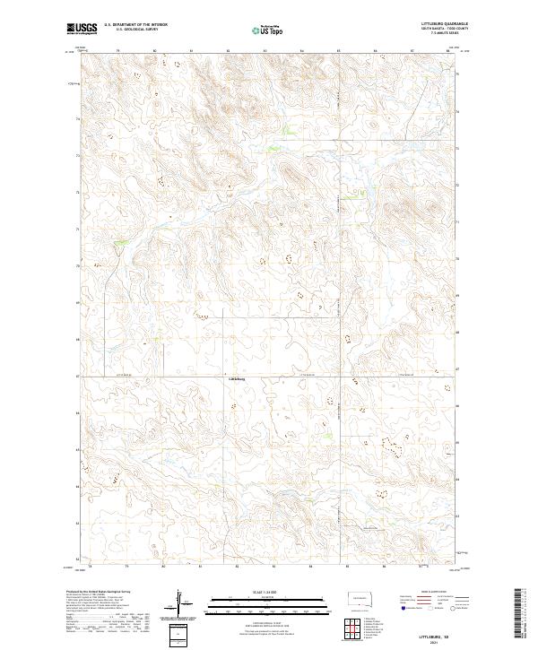 2021 Littleburg2021 Print · USGSTodd County's rural prairie lands are captured here in the early twenty-first century, centered on the small community of Littleburg. Researchers can trace local property access and water sources along Eagle Cr, Sand Cr, and Hidden Timber Rd.
 - 2021 Map of Sparks, 2021 Print
 2021 Sparks2021 Print · USGSNorthern Cherry County comes into focus in this recent survey of the Niobrara River valley. Researchers can trace the rugged river corridor to find Smith Falls, Berry Bridge, and family history markers like Kewanee Cem and Saint Joseph Cem.
 - 2021 Map of Witten, 2021 Print
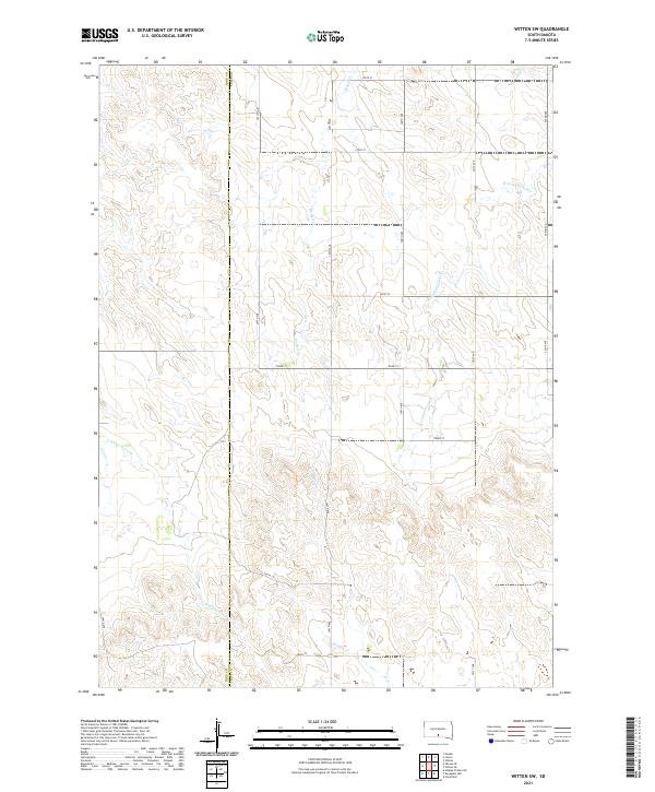
 2021 Witten2021 Print · USGSTripp County at the start of the 2020s shows a landscape of prairie settlements and vital water sources. Genealogists and local historians can trace the roads connecting New Witten, Jordan Junction, and the Saint John the Baptist Cem along the banks of Cottonwood Cr.
 - 2021 Map of Clearfield, 2021 Print
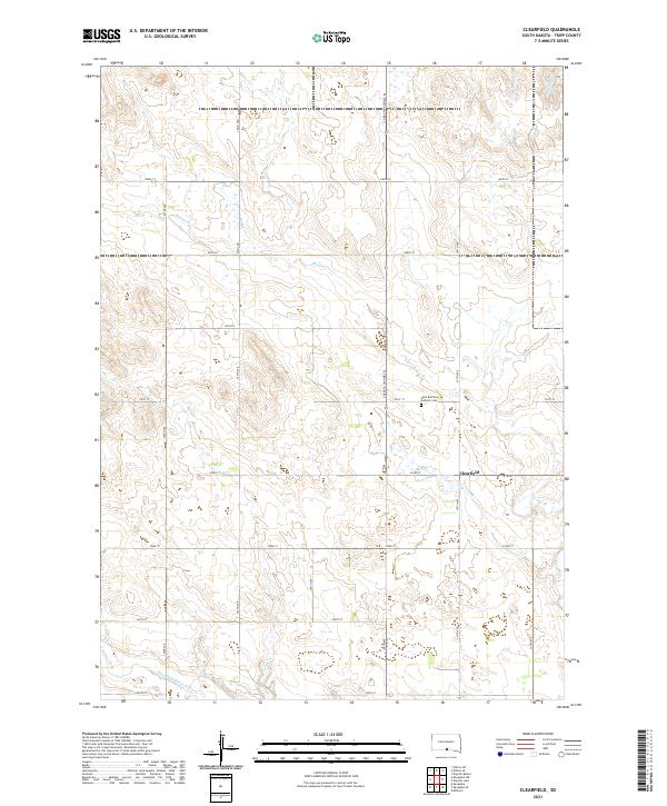 2021 Clearfield2021 Print · USGSTripp County at the start of the 2020s remains a landscape of sprawling homesteads and prairie streams. Researchers can pinpoint family sites near Clearfield or locate the Saint Boniface Catholic Cem along S Dakota Highway 53.
 - 2021 Map of Carter, 2021 Print
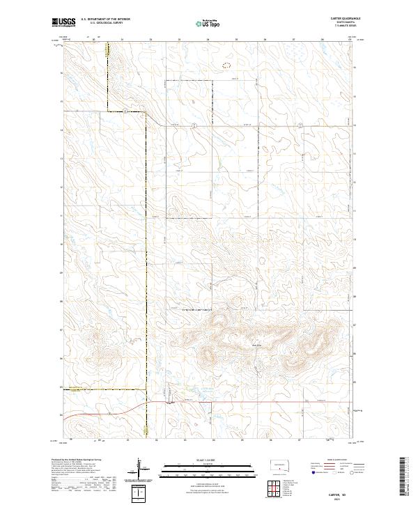 2021 Carter2021 Print · USGSThe rural prairie landscape surrounding Carter is captured here at the start of the 2020s, showing the intersection of three different counties. Genealogists and local historians can trace the paths of De Bell Cr and Two Nation Cr near the Red Hills and Carter Dam Reservoir.
 - 2021 Map of Keyapaha, 2021 Print
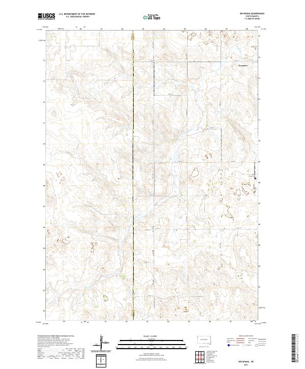 2021 Keyapaha2021 Print · USGSThe high plains of Tripp and Todd counties are captured in this recent survey, showcasing a landscape of sprawling ranch land and prairie drainages. Genealogists can locate Linden Pioneer Cem or trace the early settlement of Keyapaha along Sand Cr.
 - 2021 Map of Keyapaha SE, 2021 Print
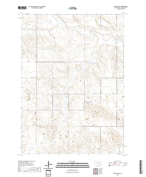 2021 Keyapaha SE2021 Print · USGSTripp County's rural landscape is documented here in the early twenty-first century, showing the intersection of the river valley and the section-line grid. Researchers can trace the path of the Keya Paha River and follow rural routes like 303rd Ave and 300th ST.
 - 2021 Map of Keyapaha NW, 2021 Print
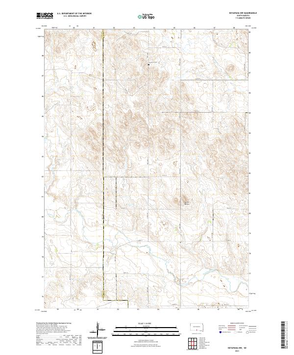 2021 Keyapaha NW2021 Print · USGSTodd and Tripp Counties appear in this contemporary survey of the South Dakota prairie as the river cuts through the plains. Researchers can locate the Jerusalem Cem and trace the paths of Crazy Horse Cr and the Keya Paha River.
 - 2021 Map of Wood South, 2021 Print
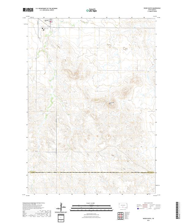 2021 Wood South2021 Print · USGSThe township of Wood and the surrounding prairie are captured here during the early 2020s. Genealogists and local historians can locate Evergreen Cem, Mediator Cem, and the winding path of Butte Cr as it flows south toward the county line.
 - 2021 Map of Witten SW, 2021 Print
 2021 Witten SW2021 Print · USGSThe open ranchlands along the Rosebud Indian Reservation border are documented here in the early twenty-first century. Genealogists and researchers can trace the section lines and drainage patterns of De Bell Cr and W Cottonwood Cr across the Todd Co and Tripp Co line.
End of results
Showing maps 1-18 of 18
Top cities near Okreek Segment
Top neighborhoods of Okreek Segment
Frequently asked questions
- What are the different types of historical maps available for Okreek Segment?
- What is the oldest map of Okreek Segment?
- Where can I purchase historical maps of Okreek Segment for my home or office?
- Where can I download high-res historical maps of Okreek Segment?
- Are there historical topographic maps available for Okreek Segment?
- Is there historical aerial imagery available for Okreek Segment?
- Where are historical maps of Okreek Segment sourced from?