2020s Maps of Dolton Township, South Dakota
Explore 2 historic maps of Dolton Township from the 2020s. These maps offer a rare glimpse into what life looked like during the 2020s — showing old roads, neighborhoods, homes, and landmarks that have changed or disappeared over time.
Whether you're researching your family's past, planning a metal detecting trip, or studying how Dolton Township's landscape evolved across the 2020s, these high-resolution maps are a powerful tool for exploring the history of this region.
- Focus on a specific era: All maps on this page are from the 2020s, giving you a focused view of this time period.
- See what’s changed: Compare century-old streets, trails, and buildings to today's modern landscape using overlays and satellite layers.
- Research with precision: Use these maps for genealogy, historical research, land use analysis, or educational projects.
- View, download, or print: Maps are fully viewable online in high resolution, and can be downloaded or printed for your own records.
Start exploring Dolton Township's history through authentic maps from the 2020s. This is your window into the past.
Dolton Township, SD maps
(2)- 2021 Map of Dolton, 2021 Print
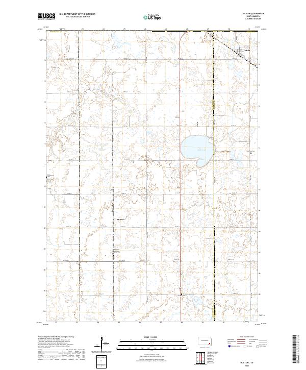 2021 Dolton2021 Print · USGSThe agricultural plains at the border of Hutchinson and Turner counties are shown here as they appeared in the early 2020s. Genealogists can locate legacy burial sites like the Hutterthal Mennonite Church Cem and Tschetter Cem near the town of Dolton.
 - 2021 Map of Marion, 2021 Print
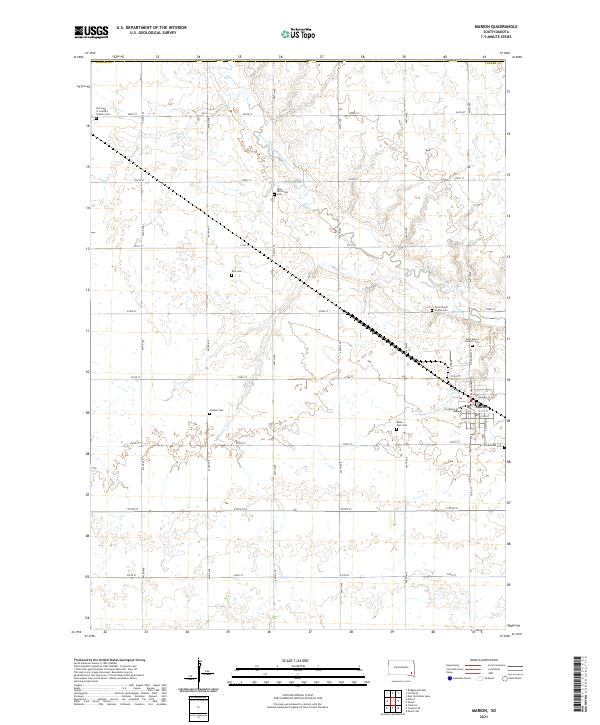 2021 Marion2021 Print · USGSSoutheast South Dakota's prairie landscape is recorded here in the early twenty-first century, centered on the rural hub of Marion. Local history researchers can trace numerous family and church burial sites, including Tieszen Cem, Buller Ensz Cem, and Our Lady of Lourdes Catholic Cem.
End of results
Showing maps 1-2 of 2
Top cities near Dolton Township
- Freeman historical maps
- Parker historical maps
- Marion historical maps
- Canistota historical maps
- Bridgewater historical maps
- Montrose historical maps
See more
Top neighborhoods of Dolton Township
Frequently asked questions
- What are the different types of historical maps available for Dolton Township?
- What is the oldest map of Dolton Township?
- Where can I purchase historical maps of Dolton Township for my home or office?
- Where can I download high-res historical maps of Dolton Township?
- Are there historical topographic maps available for Dolton Township?
- Is there historical aerial imagery available for Dolton Township?
- Where are historical maps of Dolton Township sourced from?