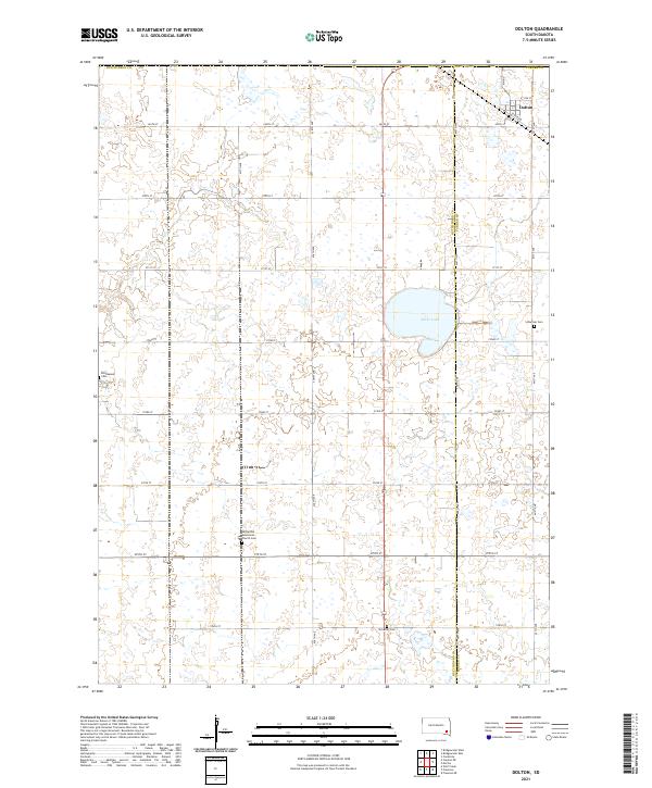
2021 Map of Dolton
USGS Topo · Published 2021About this map
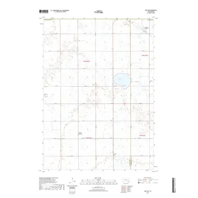
Dolton serves as the primary settlement on this landscape, positioned along a corridor defined by the Railroad and Main St in the northeast. The terrain is a structured grid of agricultural sections, spanning the border of Hutchinson and Turner counties. A series of small family or community burial sites, including the Tschetter Cem, Schartner Cem, and Kleinkassell Cem, are preserved among the fields, providing important genealogical markers for the region's heritage. The Hutterthal Mennonite Church Cem further anchors the rural landscape south of Silver Lake, which stands out as a prominent water feature in a region otherwise dominated by section-line roads like 271st St and 438th Ave.
Find a feature on this map
27 named features on this map. Tap any name to fly to it.
Don’t see what you’re looking for? This feature index may not catch every label — zoom into the map to look around manually.
Map Details
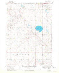
Editions of this 2021 Dolton Map
This is the sole edition of this map. No revisions or reprints were ever made.
Historical Maps of Dolton Through Time
5 maps found
Featured Locations
- Union Township, SD
- Dolton Township, SD
- Rosefield Township, SD
- Grandview Township, SD
- Dolton, Dolton Township