Old Maps of Swan Lake Township, South Dakota
Explore 24 old maps of Swan Lake Township, spanning from 1898 to today. These high-resolution historic maps reveal how streets, neighborhoods, landmarks, and natural features evolved over time — perfect for genealogy, metal detecting, research, and local history exploration.
What you can do with these maps:
- See how Swan Lake Township changed over time: Compare historical maps to modern-day views to trace roads, homesites, rail lines & more.
- View detailed metadata: Each map includes creators, publishers, year, scale, and archive source.
- Overlay maps with satellite & LiDAR: Visualize the past alongside modern tools to explore terrain & human change.
- Trusted historical sources: Maps sourced from the USGS, Library of Congress, and other archives.
- Access maps your way: View online, download high-res files, or order prints for personal or research use.
Start exploring old maps of Swan Lake Township to uncover forgotten places, hidden landmarks, and the deep history beneath your feet.
Swan Lake Township, SD maps
(24)- 1898 Map of Parker
 1898 Parker1898 Print · USGSSoutheastern South Dakota in the late nineteenth century shows a landscape defined by the expansion of the Chicago and Northwestern railroad. Genealogists and local historians can trace early settlements and pioneer-era post offices like Idylwilde, Hurley, and the prominent rise of Turkey Ridge.4 unique versions available
 - 1955 Map of Sioux Falls, 1967 Print
 1955 Sioux Falls1967 Print · USGSThe eastern South Dakota and western Minnesota borderlands come alive in the mid-fifties, showing the vital rail-to-river connections of the era. Genealogists can trace family footprints across townships like Madison and Pipestone, while following the paths of the Big Sioux River and the Chicago and North Western line.3 unique versions available
 - 1958 Map of Sioux Falls
 1958 Sioux Falls1958 Print · USGSThe tri-state borderlands of South Dakota, Minnesota, and Iowa are captured here during the mid-century peak of the regional rail network. Genealogists and historians can trace local landmarks like Augustana Academy, the St Marys Cem, and the path of the Illinois Central through Rock Rapids.
 - 1968 Map of Hurley, 1971 Print
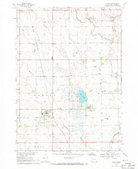 1968 Hurley1971 Print · USGSTurner County at the end of the sixties reveals a landscape of railroad towns and prairie rivers. Genealogists and local historians can trace family roots near Hurley, locate the Stoddard Sch, or follow the Chicago and North Western rail line.
 - 1968 Map of Parker SW, 1971 Print
 1968 Parker SW1971 Print · USGSTurner County's agricultural heartland is documented in the late sixties, showing a landscape of established farmsteads and rural townships. Researchers can locate vanished landmarks like Dedrick Sch, Zion Cem, and the waters of Swan Lake.
 - 1968 Map of Viborg, 1971 Print
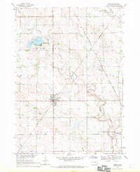 1968 Viborg1971 Print · USGSSoutheast South Dakota's farm country comes into focus in the late 1960s, showing a landscape shaped by rail lines and prairie drainages. Genealogists can trace family roots through sites like Hattervig Cem, Rosefield Sch, and the rail junction at Viborg.
 - 1970 Map of Center Point, 1972 Print
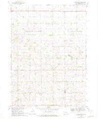 1970 Center Point1972 Print · USGSThe Turner and Yankton County line in the early seventies reveals a landscape of rural schoolhouses and family cemeteries. Genealogists can trace the history of Center Point and locate several burial sites including Meldal Cemetery and Evergreen Cemetery.
 - 1985 Map of Freeman
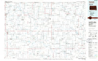 1985 Freeman1985 Print · USGSThe James River valley in the mid-1980s reveals a landscape of communal farming colonies and railroad-anchored prairie towns. Researchers can trace the layout of several Hutterite settlements like Maxwell Colony or locate local landmarks like Gagna Station and Turkey Ridge.2 unique versions available
 - 2012 Map of Viborg, 2012 Print
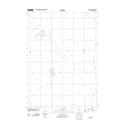 2012 Viborg2012 Print · USGSEastern South Dakota farmland thrives in the early 21st century, centered on the town of Viborg and its outlying homesteads. Researchers can trace local heritage at Hattervig Cemetery or explore the drainage of Turkey Ridge Creek and Swan Lake.
 - 2012 Map of Parker SW, 2012 Print
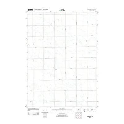 2012 Parker SW2012 Print · USGSTurner County at the start of the twenty-first century reveals a landscape defined by traditional prairie agriculture and quiet section roads. Researchers can locate family heritage sites like Bethany Cem and Zion Cem near the banks of Hurley Cr.
 - 2012 Map of Center Point, 2012 Print
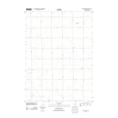 2012 Center Point2012 Print · USGSSpring Valley Township in the early twenty-first century remains a landscape of organized agriculture and small-town roots. Researchers can trace local heritage through burial sites like Meldal Cem and Bethania Cem, or locate the rural Turkey Ridge Airport.
 - 2012 Map of Hurley, 2012 Print
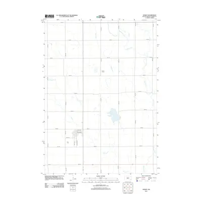 2012 Hurley2012 Print · USGSTurner County at the start of the 2010s shows a landscape of steady agriculture and small-town South Dakota life. Genealogists and local researchers can trace the roads around Hurley Cr, the Hurley Cem, and the rural Dangel Airport.
 - 2015 Map of Hurley, 2015 Print
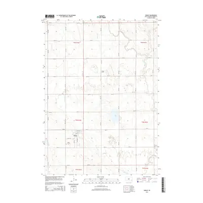 2015 Hurley2015 Print · USGSTurner County is captured here in the mid-2010s, showing a well-ordered agricultural landscape centered on the village of Hurley. Researchers can trace local landmarks and waterways like the Hurley Cemetery, Dangel Airport, and the meandering Vermillion River.
 - 2015 Map of Parker SW, 2015 Print
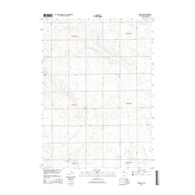 2015 Parker SW2015 Print · USGSRural Turner County is shown in detail during the mid-2010s, capturing the enduring agricultural grid of the South Dakota prairie. Genealogists can locate family burial sites at Turkey Valley Cem, Bethany Cem, and Zion Cem near the banks of Hurley Cr.
 - 2015 Map of Viborg, 2015 Print
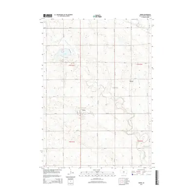 2015 Viborg2015 Print · USGSThe agricultural plains of Turner County are captured here in the mid-2010s, showing a landscape defined by the prairie grid and the Vermillion River. Local historians can trace the streets of Viborg, the small settlement of Hooker, and the location of Hattervig Cem.
 - 2015 Map of Center Point, 2015 Print
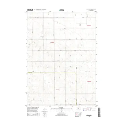 2015 Center Point2015 Print · USGSTurner and Yankton counties appear at the height of their modern agricultural development in this 2015 survey. Genealogists can trace local roots through numerous burial grounds like Evergreen Cem, Meldal Cem, and Bethania Cem near Center Point.
 - 2017 Map of Viborg, 2017 Print
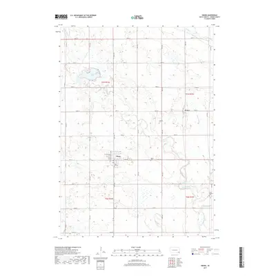 2017 Viborg2017 Print · USGSViborg and the surrounding Turner County plains are captured here in the late twenty-tens, showing a landscape defined by prairie agriculture and small-town roots. Genealogists and local historians can trace family sites near Rose Hill Cem, the waters of Swan Lake, and the rural crossroads of Hooker.
 - 2017 Map of Center Point, 2017 Print
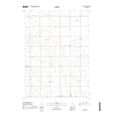 2017 Center Point2017 Print · USGSTurner and Yankton counties maintain their deep-rooted rural character in this 2017 survey of the South Dakota prairie. Researchers will find numerous family and parish burial sites to trace, including Turkey Valley Baptist Cem, Bethania Cem, and the settlement of Center Point.
 - 2017 Map of Parker SW, 2017 Print
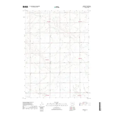 2017 Parker SW2017 Print · USGSMarion Township and rural Turner County are shown here in the late twenty-tens, defined by a meticulously surveyed grid of section roads and quiet creek beds. Genealogists can locate family sites near Bethany Cem, Zion Cem, or the Swan Lake Catholic Cem.
 - 2017 Map of Hurley, 2017 Print
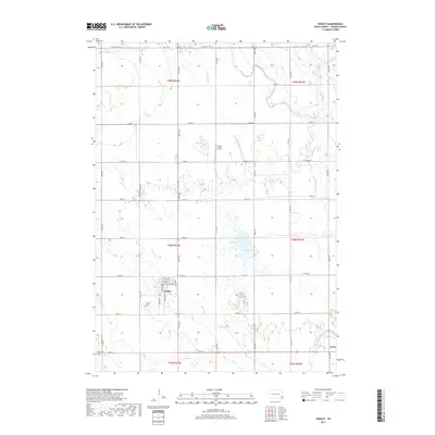 2017 Hurley2017 Print · USGSHurley and Davis are mapped here in the late 2010s, showcasing a landscape of structured prairie agriculture and vital watercourses. Genealogists can locate family sites near Hurley Cem or trace the winding path of the Vermillion River and Mud Lake.
 - 2021 Map of Viborg, 2021 Print
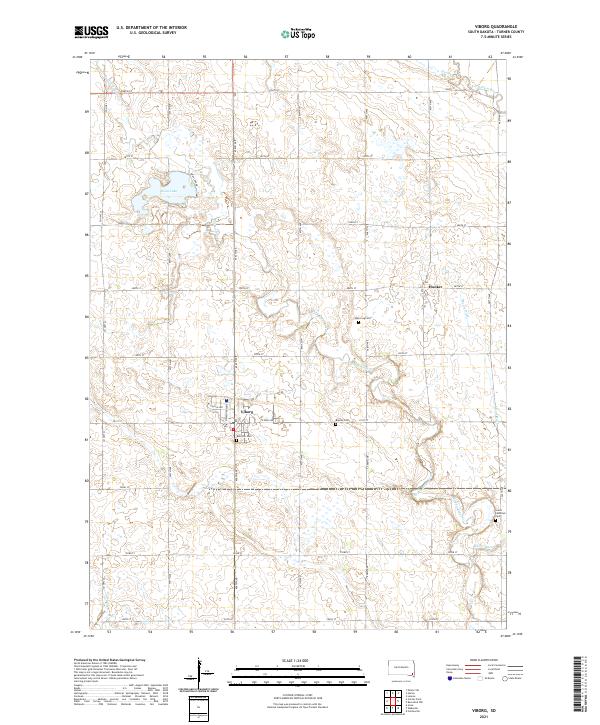 2021 Viborg2021 Print · USGSViborg and its surrounding prairie landscape are shown here in the early 2020s, dominated by a vast grid of section roads and drainage networks. Genealogists and local historians can trace family roots through sites like Rose Hill Cem, Hooker, and the namesake waters of Swan Lake.
 - 2021 Map of Center Point, 2021 Print
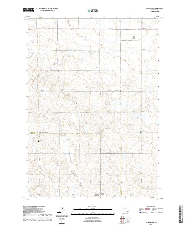 2021 Center Point2021 Print · USGSThe borderlands of Turner and Yankton Counties are captured here in the early twenty-first century, showing a landscape of deep-rooted rural heritage. Genealogists can trace family legacies at several local burial sites like Meldal Cem, Hansen Cem, and the Turkey Valley Baptist Cem.
 - 2021 Map of Hurley, 2021 Print
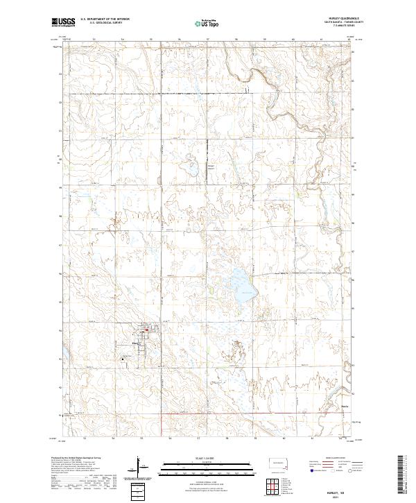 2021 Hurley2021 Print · USGSModern Hurley and the nearby settlement of Davis are captured here within their Turner County agricultural setting. Genealogists and local historians can locate Hurley Cem and Catholic Cem, or trace the path of the Vermillion River.
 - 2021 Map of Parker SW, 2021 Print
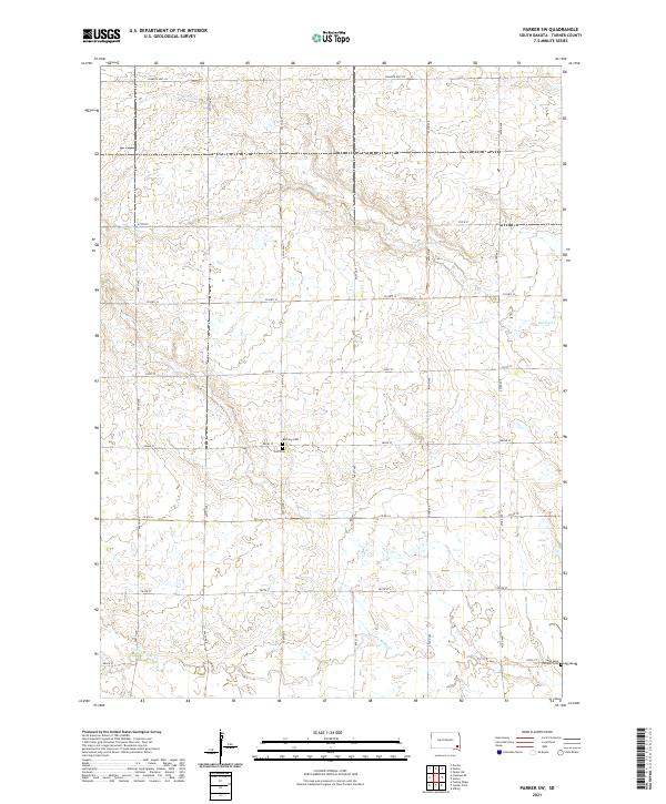 2021 Parker SW2021 Print · USGSThe rural stretches of Turner County are documented here in the early twenty-first century, showing a landscape defined by prairie creeks and section-line roads. Genealogists can locate specific burial sites like Bethany Cem and the Swan Lake Catholic Cem.
End of results
Showing maps 1-24 of 24
Top cities near Swan Lake Township
- Lennox historical maps
- Parker historical maps
- Centerville historical maps
- Marion historical maps
- Viborg historical maps
- Hurley historical maps
See more
Frequently asked questions
- What are the different types of historical maps available for Swan Lake Township?
- What is the oldest map of Swan Lake Township?
- Where can I purchase historical maps of Swan Lake Township for my home or office?
- Where can I download high-res historical maps of Swan Lake Township?
- Are there historical topographic maps available for Swan Lake Township?
- Is there historical aerial imagery available for Swan Lake Township?
- Where are historical maps of Swan Lake Township sourced from?