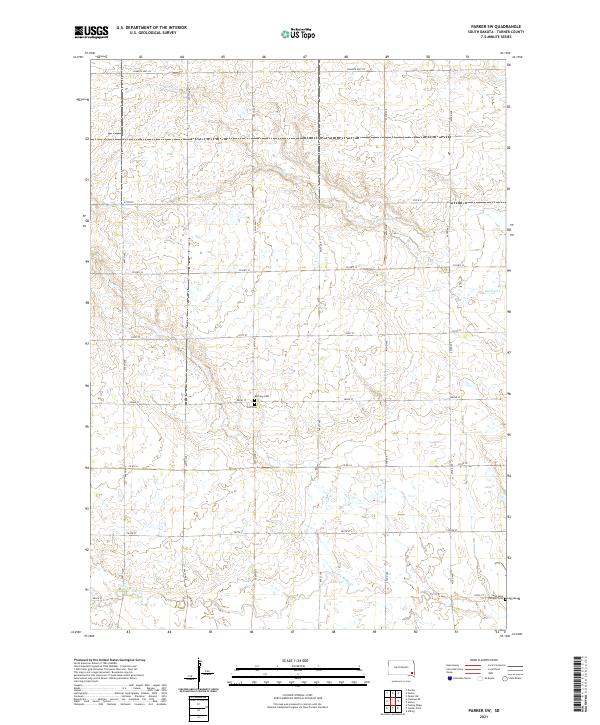
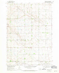
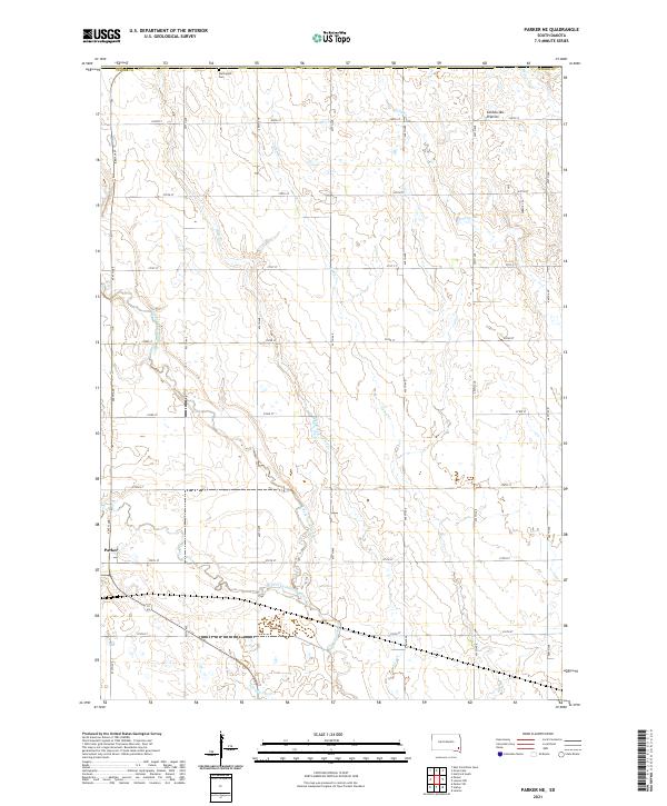
2021 Map of Parker SW
USGS Topo · Published 2021This historical map portrays the area of Parker SW in 2021, primarily covering Turner County. Featuring a scale of 1:24000, this map provides a highly detailed snapshot of the terrain, roads, buildings, counties, and historical landmarks in the Parker SW region at the time. Published in 2021, it is the sole known edition of this map.
Find a feature on this map
20 named features on this map. Tap any name to fly to it.
Don’t see what you’re looking for? This feature index may not catch every label — zoom into the map to look around manually.
Map Details
Editions of this 2021 Parker SW Map
This is the sole edition of this map. No revisions or reprints were ever made.
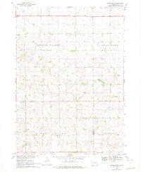
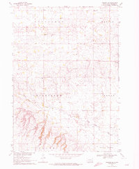
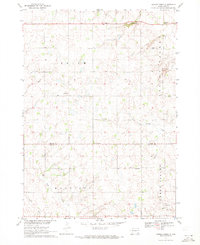
Historical Maps of Swan Lake Township Through Time
14 maps found
1962 Lennox NW
Turner County, SD
1968 Beresford NW
Turner County, SD
1968 Parker NE
Turner County, SD
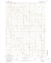
1968 Parker SW
Turner County, SD
1970 Center Point
Turner County, SD
1970 Freeman SE
Turner County, SD
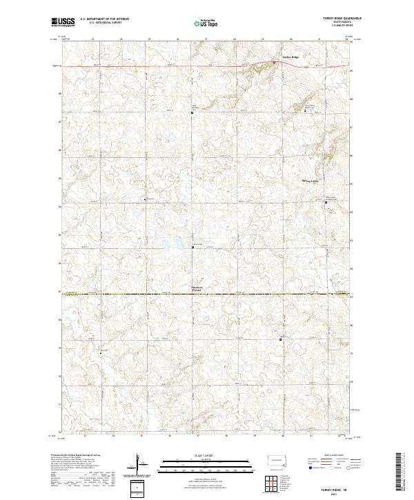
1970 Turkey Ridge
Turner County, SD
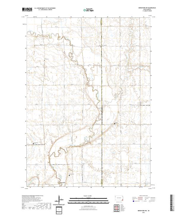
2021 Beresford NW
Turner County, SD
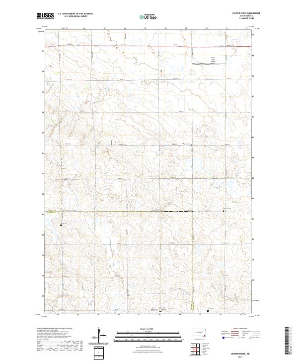
2021 Center Point
Turner County, SD
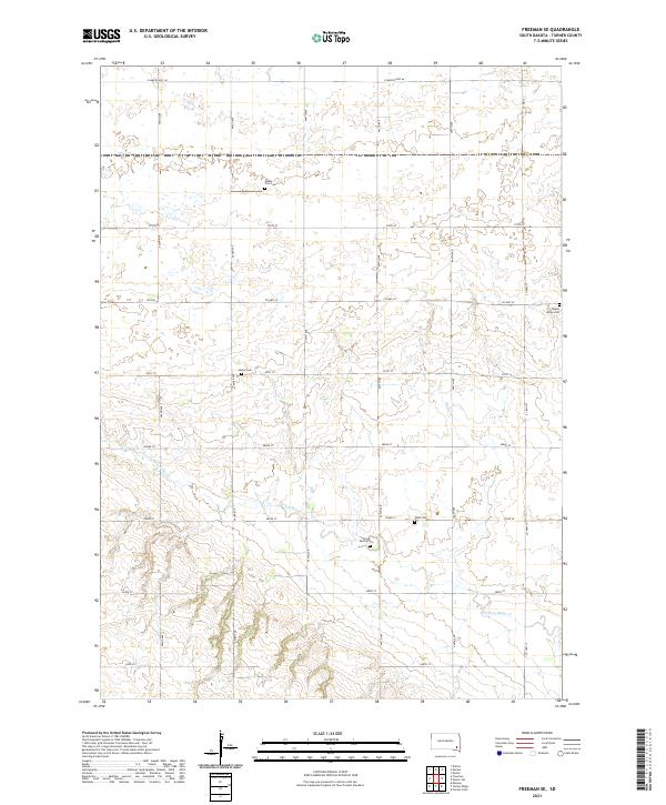
2021 Freeman SE
Turner County, SD
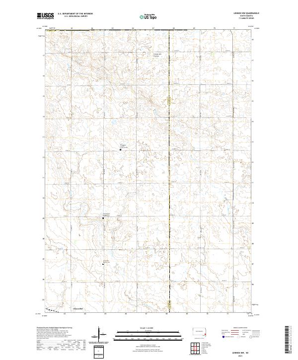
2021 Lennox NW
Turner County, SD
2021 Parker NE
Turner County, SD
2021 Parker SW
Turner County, SD
2021 Turkey Ridge
Turner County, SD
Featured Locations
- Hurley Township, SD
- Marion Township, SD
- Norway Township, SD
- Parker Township, SD
- Spring Valley Township, SD