Old Maps of Java, South Dakota
Explore 19 old maps of Java, spanning from 1954 to today. These high-resolution historic maps reveal how streets, neighborhoods, landmarks, and natural features evolved over time — perfect for genealogy, metal detecting, research, and local history exploration.
What you can do with these maps:
- See how Java changed over time: Compare historical maps to modern-day views to trace roads, homesites, rail lines & more.
- View detailed metadata: Each map includes creators, publishers, year, scale, and archive source.
- Overlay maps with satellite & LiDAR: Visualize the past alongside modern tools to explore terrain & human change.
- Trusted historical sources: Maps sourced from the USGS, Library of Congress, and other archives.
- Access maps your way: View online, download high-res files, or order prints for personal or research use.
Start exploring old maps of Java to uncover forgotten places, hidden landmarks, and the deep history beneath your feet.
Java, SD maps
(19)- 1954 Map of Aberdeen, 1964 Print
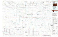
 1954 Aberdeen1964 Print · USGSNortheastern South Dakota in the mid-fifties remains a world of rail-dependent prairie towns and sweeping waterfowl refuges. Genealogists can trace family roots through settlements like Eureka and Ipswich or locate rural landmarks near Richmond Lake.2 unique versions available
 - 1956 Map of Aberdeen
 1956 Aberdeen1956 Print · USGSUpper South Dakota during the mid-fifties remains a landscape of rail-connected farming towns and expansive glacial lake basins. Genealogists and historians can trace the paths of the Minneapolis and St Louis railroad through Gettysburg or locate vanished stops near Elm Lake and Richmond Lake.
 - 1974 Map of Lowry NW, 1978 Print
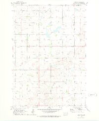 1974 Lowry NW1978 Print · USGSThe northern plains of Walworth County come into focus in the mid-1970s, showcasing a rural landscape defined by grain and rail. Genealogists and historians can locate the Java Sch, the village Java, and the path of the Old Railroad Grade.
 - 1978 Map of Java SE, 1979 Print
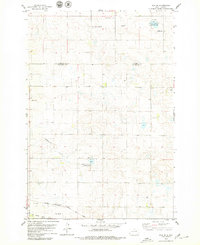 1978 Java SE1979 Print · USGSThe open prairie of the Dakotas is captured in the late seventies, showing a landscape shaped by rural faith and rail transit. Genealogists and local historians can locate several family burial grounds like Baptist Cem and trace the path of the Chicago Milwaukee St Paul and Pacific railroad.
 - 1978 Map of Java, 1979 Print
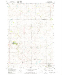 1978 Java1979 Print · USGSThe town of Java and the surrounding plains of Walworth County appear here in the late seventies. Family historians can trace local roots through several burial grounds like Peace Cem and Schnaible Cem or follow the Chicago Milwaukee St Paul and Pacific rail line.
 - 1985 Map of Gettysburg
 1985 Gettysburg1985 Print · USGSIn the mid-1980s, the plains of north-central South Dakota were shaped by the Burlington Northern railroad and dozens of protected wetlands. Researchers can trace the layout of rail towns like Bowdle, Hoven, and Faulkton alongside family landmarks like Southside Cem.3 unique versions available
 - 1985 Map of Eureka, 1986 Print
 1985 Eureka1986 Print · USGSThe northern plains of the mid-eighties come alive in this survey of the border country between South Dakota and North Dakota. Researchers can trace the rail-side growth of Eureka and Hosmer or locate local landmarks like the Plainview Colony and Lake Hiddenwood State Park.3 unique versions available
 - 2012 Map of Java, 2012 Print
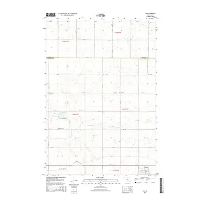
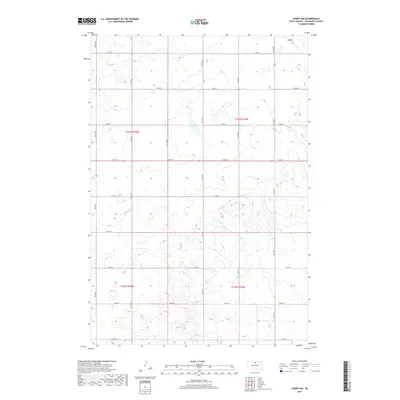
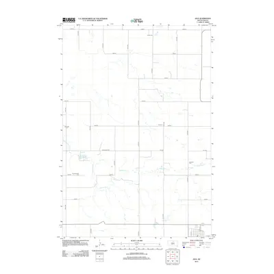 2012 Java2012 Print · USGSCovers Java, including Campbell County, Walworth County, and other nearby areas
 - 2012 Map of Lowry NW, 2012 Print
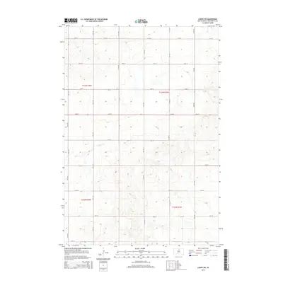
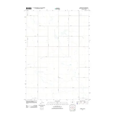 2012 Lowry NW2012 Print · USGSCovers Java, including Walworth County, United States, and other nearby areas
 - 2012 Map of Java SE, 2012 Print
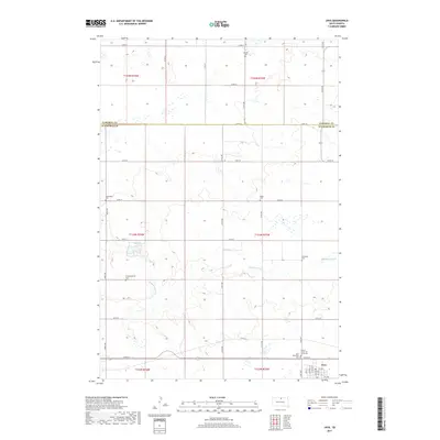
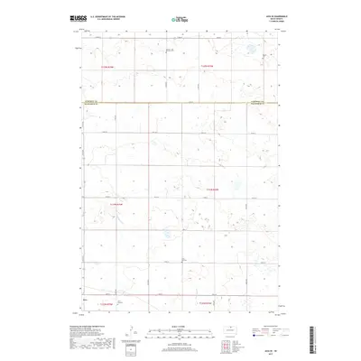
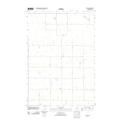 2012 Java SE2012 Print · USGSCovers Java, including Campbell County, Walworth County, and other nearby areas
 - 2015 Map of Java, 2015 Print
 2015 Java2015 Print · USGSCovers Java, including Campbell County, Walworth County, and other nearby areas
 - 2015 Map of Lowry NW, 2015 Print
 2015 Lowry NW2015 Print · USGSCovers Java, including Walworth County, United States, and other nearby areas
 - 2015 Map of Java SE, 2015 Print
 2015 Java SE2015 Print · USGSCovers Java, including Campbell County, Walworth County, and other nearby areas
 - 2017 Map of Java, 2017 Print
 2017 Java2017 Print · USGSCovers Java, including Campbell County, Walworth County, and other nearby areas
 - 2017 Map of Lowry NW, 2017 Print
 2017 Lowry NW2017 Print · USGSCovers Java, including Walworth County, United States, and other nearby areas
 - 2017 Map of Java SE, 2017 Print
 2017 Java SE2017 Print · USGSCovers Java, including Campbell County, Walworth County, and other nearby areas
 - 2021 Map of Lowry NW, 2021 Print
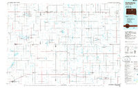
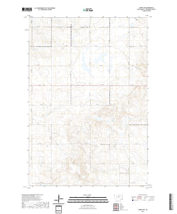 2021 Lowry NW2021 Print · USGSWalworth County at the start of the 2020s shows a landscape defined by its agricultural grid and intermittent prairie wetlands. Genealogists and land researchers can trace property lines and rural access along 312th Ave, 134th St, and the winding Rieger Cr.
 - 2021 Map of Java, 2021 Print
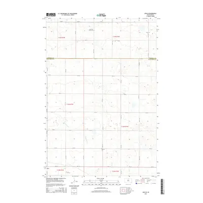
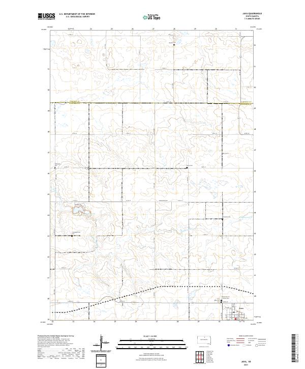 2021 Java2021 Print · USGSThe prairie landscape at the Walworth and Campbell County border is shown here during a period of established rural community. Genealogists can trace family connections through numerous sites like Bender Cem and Java or explore the terrain around Hiddenwood Lake.
 - 2021 Map of Java SE, 2021 Print
 2021 Java SE2021 Print · USGSThe rural landscape near the Campbell and Walworth County line is shown here in its modern agricultural context. Family historians can locate several historic burial sites such as Java East Cem and the Seventh - Day Adventist Cem.
End of results
Showing maps 1-19 of 19
Top cities near Java
Frequently asked questions
- What are the different types of historical maps available for Java?
- What is the oldest map of Java?
- Where can I purchase historical maps of Java for my home or office?
- Where can I download high-res historical maps of Java?
- Are there historical topographic maps available for Java?
- Is there historical aerial imagery available for Java?
- Where are historical maps of Java sourced from?