Old Maps of Yankton, South Dakota for Academic Research
Study the evolution of Yankton with 24 high-resolution historic maps. Whether you're teaching, researching, or modeling changes in land use, these maps provide essential visual documentation of urban, environmental, and geographic change.
- Analyze long-term change: Track patterns in development, transportation, and natural features.
- Ideal for environmental or urban studies: Support academic projects with primary historical map data.
- Use in the classroom or lab: Educators and researchers rely on these maps to bring historical context to life.
These maps are a powerful tool for teaching, research, and visualizing how Yankton has changed over the decades.
Yankton, SD maps
(24)- 1955 Map of Sioux City, 1959 Print
 1955 Sioux City1959 Print · USGSThe Missouri River valley in the mid-fifties is captured here during a time of major engineering and social transition. Genealogists and historians can trace the foundations of Gavins Point Dam, tribal boundaries on the Santee Sioux Indian Reservation, and local landmarks like the Norfolk State Hospital.4 unique versions available
 - 1957 Map of Mission Hill, 1958 Print
 1957 Mission Hill1958 Print · USGSYankton County's river-and-rail landscape is captured here in the late fifties, centered on the village of Mission Hill. Researchers can locate numerous country schools like Howard Sch and De Vol Sch or trace the early paths of the James River.2 unique versions available
 - 1958 Map of Sioux City
 1958 Sioux City1958 Print · USGSThe Missouri River valley in the late fifties was a bustling intersection of tribal lands, rail corridors, and river towns. Genealogists can trace family roots through specific rural sites like Daisy Valley School, St Johns Church and School, and Yankton State Hospital.
 - 1959 Map of Sioux City
 1959 Sioux City1959 Print · USGSThe tri-state region surrounding the Missouri River is captured here in the late fifties, showing the convergence of Nebraska, South Dakota, and Iowa. Researchers can trace rural lineages through numerous country schoolhouses like Cemetery School and the many numbered Washington School districts.
 - 1968 Map of Gavins Point Dam, 1971 Print
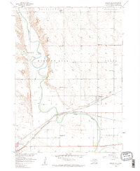
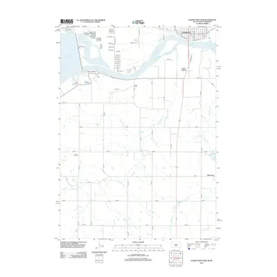
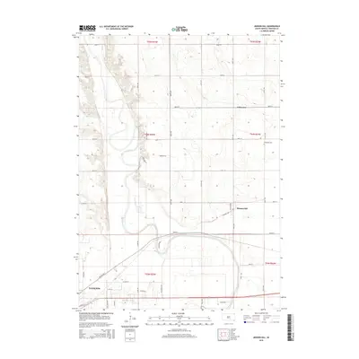
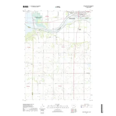
 1968 Gavins Point Dam1971 Print · USGSYankton and the Missouri River borderlands are captured in the late sixties as the region adjusted to the massive Gavins Point dam project. Researchers can locate the Gavins Point National Fish Hatchery, the Fort Yankton Historic Site, and rural landmarks like Aten Cem and School No 87.2 unique versions available
 - 1968 Map of Menominee, 1971 Print
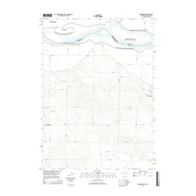
 1968 Menominee1971 Print · USGSCrossing the Nebraska and South Dakota border in the late sixties, this area shows the winding Missouri River valley and its rural farm communities. Genealogists can locate family landmarks such as St Helena Chapel, Joy Hill Sch, and the cemetery near Menominee.2 unique versions available
 - 1978 Map of Yankton, 1979 Print
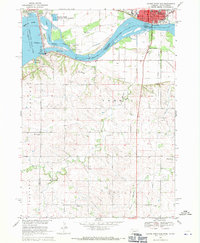
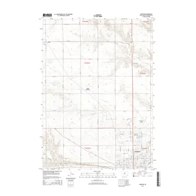
 1978 Yankton1979 Print · USGSYankton and its northern hinterlands are captured here in the late seventies, showing a period of steady growth along the Missouri River valley. Genealogists and local historians can trace school sites like Beadle Sch or the grounds of Yankton College and the Sacred Heart Cem.
 - 1985 Map of Yankton
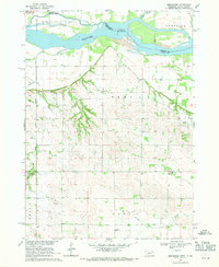
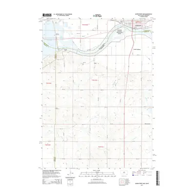
 1985 Yankton1985 Print · USGSThe Missouri River borderlands of South Dakota and Nebraska come alive in this mid-eighties survey, centered on the newly created Lewis and Clark Lake. Researchers can trace the Santee Indian Reservation and locate historic river features like the St Helena Island Chute and Sand Island.2 unique versions available
 - 2011 Map of Menominee, 2011 Print
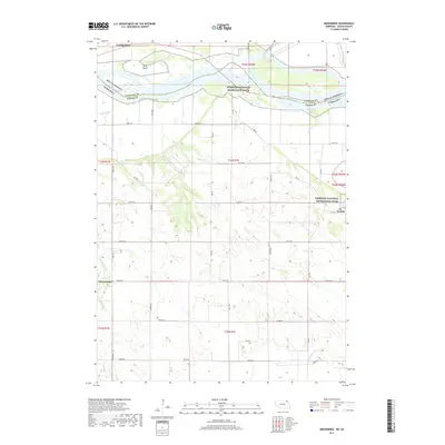
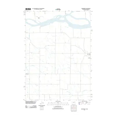 2011 Menominee2011 Print · USGSCovers Yankton, including Precinct 4, Menominee, and other nearby areas
 - 2012 Map of Yankton, 2012 Print
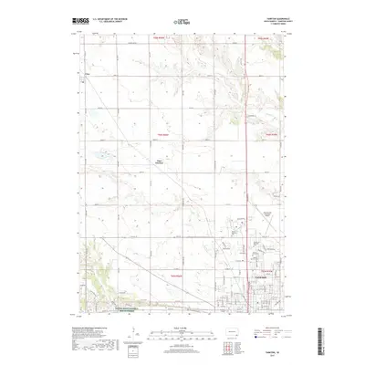
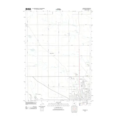 2012 Yankton2012 Print · USGSCovers Yankton, including Utica, Utica South Township, and other nearby areas
 - 2012 Map of Mission Hill, 2012 Print
 2012 Mission Hill2012 Print · USGSCovers Yankton, including Mission Hill, Mission Hill North Township, and other nearby areas
 - 2012 Map of Gavins Point Dam, 2012 Print
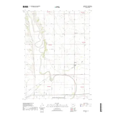
 2012 Gavins Point Dam2012 Print · USGSCovers Yankton, including Utica South Township, North Frankfort Township, and other nearby areas
 - 2014 Map of Menominee, 2014 Print
 2014 Menominee2014 Print · USGSCovers Yankton, including Precinct 4, Menominee, and other nearby areas
 - 2015 Map of Yankton, 2015 Print
 2015 Yankton2015 Print · USGSCovers Yankton, including Utica, Utica South Township, and other nearby areas
 - 2015 Map of Mission Hill, 2015 Print
 2015 Mission Hill2015 Print · USGSCovers Yankton, including Mission Hill, Mission Hill North Township, and other nearby areas
 - 2015 Map of Gavins Point Dam, 2015 Print
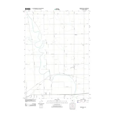
 2015 Gavins Point Dam2015 Print · USGSCovers Yankton, including Utica South Township, North Frankfort Township, and other nearby areas
 - 2017 Map of Menominee, 2017 Print
 2017 Menominee2017 Print · USGSCovers Yankton, including Precinct 4, Menominee, and other nearby areas
 - 2017 Map of Yankton, 2017 Print
 2017 Yankton2017 Print · USGSCovers Yankton, including Utica, Utica South Township, and other nearby areas
 - 2017 Map of Gavins Point Dam, 2017 Print
 2017 Gavins Point Dam2017 Print · USGSCovers Yankton, including Utica South Township, North Frankfort Township, and other nearby areas
 - 2017 Map of Mission Hill, 2017 Print
 2017 Mission Hill2017 Print · USGSCovers Yankton, including Mission Hill, Mission Hill North Township, and other nearby areas
 - 2021 Map of Yankton, 2021 Print
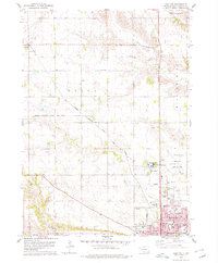
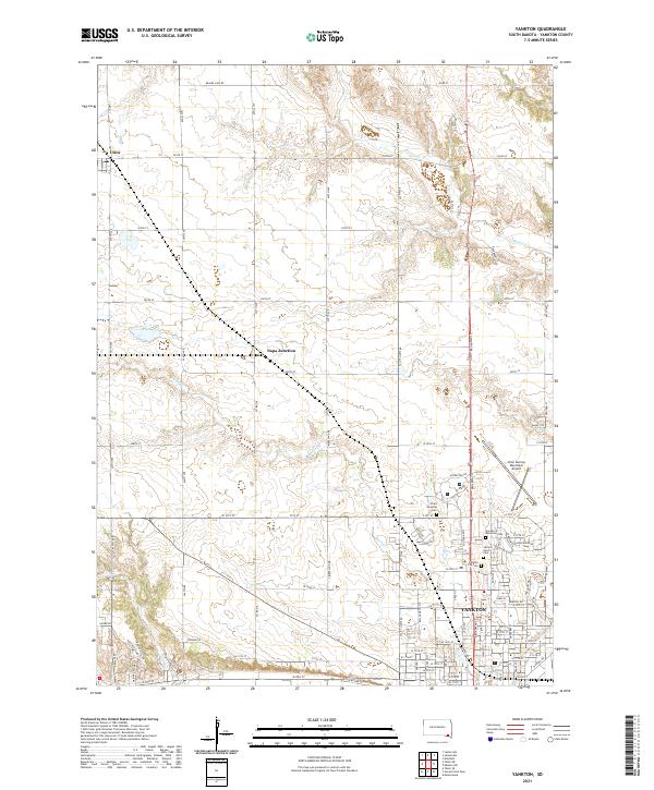 2021 Yankton2021 Print · USGSYankton is captured here during its modern development, showcasing the organized expansion of the city and its outlying rural townships. Researchers can pinpoint specific burial sites at Sacred Heart Cem or trace the early settlement footprints of Utica and Napa Junction.
 - 2021 Map of Menominee, 2021 Print
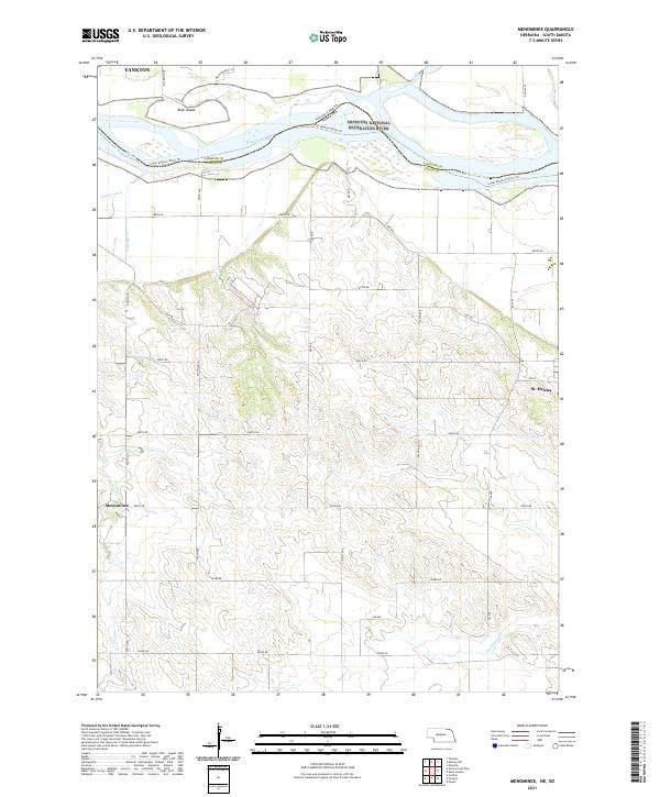 2021 Menominee2021 Print · USGSCedar County and the Missouri River border appear in this 2021 study of the Nebraska-South Dakota line. Trace the rural settlements of St. Helena and Menominee or explore the river corridor near Rush Island and the James River.
 - 2021 Map of Mission Hill, 2021 Print
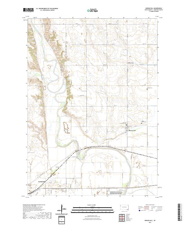 2021 Mission Hill2021 Print · USGSMission Hill and the lower James River valley appear in this contemporary survey of southeastern South Dakota. Genealogists can locate family landmarks at Vangen Church Cem or Mission Hill Congregational Cem and trace the winding course of Beaver Cr.
 - 2021 Map of Gavins Point Dam, 2021 Print
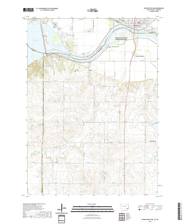 2021 Gavins Point Dam2021 Print · USGSThe Missouri River borderlands near Yankton come into sharp focus in this 2021 study of the South Dakota and Nebraska line. Researchers can trace the civic layout of Yankton or locate rural sites like Aten Cem and the Beaver Creek Cem.
End of results
Showing maps 1-24 of 24
Top cities near Yankton
- Crofton historical maps
- Gayville historical maps
- Mayfield historical maps
- Volin historical maps
- Mission Hill historical maps
- Wynot historical maps
See more
Frequently asked questions
- What are the different types of historical maps available for Yankton?
- What is the oldest map of Yankton?
- Where can I purchase historical maps of Yankton for my home or office?
- Where can I download high-res historical maps of Yankton?
- Are there historical topographic maps available for Yankton?
- Is there historical aerial imagery available for Yankton?
- Where are historical maps of Yankton sourced from?