Old Maps of Clinton, Tennessee
Explore 35 old maps of Clinton, spanning from 1893 to today. These high-resolution historic maps reveal how streets, neighborhoods, landmarks, and natural features evolved over time — perfect for genealogy, metal detecting, research, and local history exploration.
What you can do with these maps:
- See how Clinton changed over time: Compare historical maps to modern-day views to trace roads, homesites, rail lines & more.
- View detailed metadata: Each map includes creators, publishers, year, scale, and archive source.
- Overlay maps with satellite & LiDAR: Visualize the past alongside modern tools to explore terrain & human change.
- Trusted historical sources: Maps sourced from the USGS, Library of Congress, and other archives.
- Access maps your way: View online, download high-res files, or order prints for personal or research use.
Start exploring old maps of Clinton to uncover forgotten places, hidden landmarks, and the deep history beneath your feet.
Clinton, TN maps
(35)- 1893 Map of Briceville
 1893 Briceville1893 Print · USGSThe northern Tennessee coalfields and valleys come to life in the 1890s, when mining and rail were transforming the ridges of the Cumberland. Local historians can trace the paths of the Knoxville and Ohio R. R. and early settlements like Jacksboro, Coal Creek, and Oliver Springs.
 - 1895 Map of Briceville
 1895 Briceville1895 Print · USGSThe Cumberland Mountains and Powell Valley met a rapidly expanding railroad network in the late nineteenth century. Trace early industrial footprints and family-named hollows from Briceville and Clinton to the coal-rich slopes of Big Mountain.
 - 1896 Map of Briceville
 1896 Briceville1896 Print · USGSEast Tennessee's coal and rail corridors are captured here in the late nineteenth century as the industrial landscape of the Cumberland Plateau matured. Researchers can trace early family homesteads and transport hubs through Briceville, Clinton, and the Southern RR line.6 unique versions available
 - 1936 Map of Norris Dam
 1936 Norris Dam1936 Print · USGSIn the mid-thirties, the Clinch River valley underwent a total transformation as the new Norris Reservoir reshaped the land. Genealogists can trace family homesteads near Clinton, old burial sites like Leach Cem, and coal towns including Briceville.
 - 1936 Map of Clinton
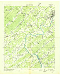 1936 Clinton1936 Print · USGSAnderson County settlements and ridge-and-valley farms are captured here in the mid-1930s as the river economy begins to shift. Genealogists can locate family landmarks like Worthington Cem, Spessard Mill, and old congregations at Sulphur Springs Ch.
 - 1936 Map of Norris
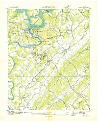 1936 Norris1936 Print · USGSAnderson County and the Clinch River valley are seen here in the mid-1930s during the transformative early years of the Tennessee Valley Authority. Researchers can locate vanished landmarks and Depression-era worksites like C C C Camp No 494, Loys Mill, and Glen Alpine Sch.
 - 1936 Map of Powell Station
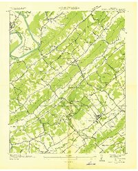 1936 Powell Station1936 Print · USGSThe Tennessee Valley during the mid-1930s shows a landscape of ridge-and-valley settlements and early federal infrastructure projects. Researchers can find many family landmarks and community hubs, including CCC Camp No 495, Bakers Mill, and Union Zion Ch.
 - 1941 Map of Norris
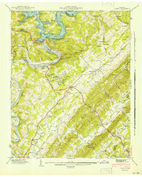 1941 Norris1941 Print · USGSThe Clinch River valley undergoes total transformation in the early forties following the completion of the TVA's first major dam. Researchers can trace the submerged topography of Norris Reservoir and locate family landmarks like Longmire Cem and Lovely Mill.2 unique versions available
 - 1941 Map of Powell Station
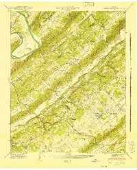 1941 Powell Station1941 Print · USGSKnox and Anderson counties are captured here just before the mid-century, defined by the parallel ridges of East Tennessee and the winding Clinch River. Researchers can trace old family landmarks like Bishopville Cem, early industry at Baker Mill, and rural hubs like Powell Station.2 unique versions available
 - 1946 Map of Clinton
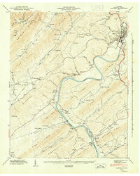 1946 Clinton1946 Print · USGSMid-century Anderson County is captured here just after the war, showing the industrial and rail hub of Clinton and its surrounding agricultural valleys. Researchers can trace family roots through numerous landmarks like Patterson Cem, Sulphur Springs Sch, and Spessard Mill.2 unique versions available
 - 1952 Map of Norris, 1955 Print
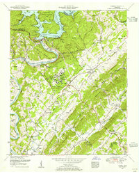 1952 Norris1955 Print · USGSEast Tennessee during the early fifties reveals a landscape shaped by the TVA and deep-rooted rural communities. Family historians can locate dozens of burial grounds and local landmarks like Norris Dam, Sinking Springs Church, and Andersonville.3 unique versions available
 - 1952 Map of Powell, 1955 Print
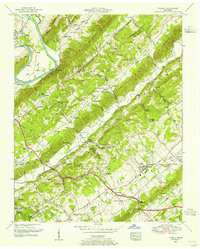 1952 Powell1955 Print · USGSMid-century Knox and Anderson counties are defined here by their parallel ridges and the deep-rooted communities settled between them. Genealogists and historians can trace family landmarks like Sartin Cemetery, Carpenter School, and the distinctive Lonesome Dove Church.2 unique versions available
 - 1952 Map of Clinton, 1956 Print
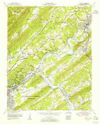 1952 Clinton1956 Print · USGSAnderson County in the early fifties shows a fascinating overlap of traditional rural life and the rise of the secret city. Trace family roots at the Slave cemetery or Sunset Cemetery, and locate old landmarks like Spessard Mill and Jackson Square.2 unique versions available
 - 1956 Map of Corbin, 1966 Print
 1956 Corbin1966 Print · USGSThe Kentucky and Tennessee borderlands are captured here in the mid-fifties, showing the region's shift toward modern interstate travel and reservoir development. Genealogists and historians can trace old community lines near Albany and Monticello or locate early rail junctions along the Southern and Tennessee Central lines.3 unique versions available
 - 1958 Map of Corbin
 1958 Corbin1958 Print · USGSThe Upper Cumberland borderlands appear in the late 1950s as massive reservoirs and early atomic-era growth reshape the region. Trace family roots and vanished landmarks near Lake Cumberland, Oak Ridge, and the Cumberland National Forest.
 - 1968 Map of Powell, 1971 Print
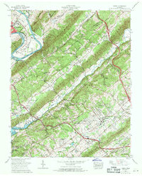 1968 Powell1971 Print · USGSThe Tennessee Valley north of Knoxville comes into focus during the late sixties as suburban growth meets established rural ridges. Researchers can trace family-named burial sites like Mabry Cem, visit the Powell Airfield, or locate the Slave cem near Wolf Valley Creek.
 - 1968 Map of Clinton, 1972 Print
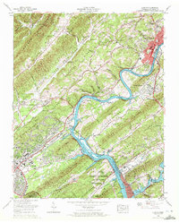 1968 Clinton1972 Print · USGSThe Clinch River Valley in the late sixties reveals the growing footprint of nuclear research and energy production near the industrial city of Clinton. Local historians can trace the development of Oak Ridge neighborhoods and find rural landmarks like Laurel Grove, Jarnigan Chapel, and the Bull Run Steam Plant.3 unique versions available
 - 1973 Map of Norris, 1975 Print
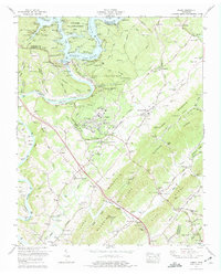 1973 Norris1975 Print · USGSIn the Tennessee Valley during the early 1970s, the Clinch River landscape was defined by the massive Norris Dam and its reservoir. Genealogists and local historians can trace family plots at Harmon Cem and Hawkins Cem, or locate the Old Mill and Museum of Appalachia.2 unique versions available
 - 1976 Map of Powell, 1977 Print
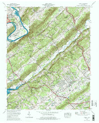 1976 Powell1977 Print · USGSKnox and Anderson counties show a landscape of ridgelines and growing communities in the mid-seventies as suburban developments began to flank the ridges. Genealogists can trace family names and local landmarks at Tennessee Valley Memory Gardens, Bishopville Cem, and the old Eagle Bend fish hatchery.2 unique versions available
 - 1979 Map of Oakridge, 1980 Print
 1979 Oakridge1980 Print · USGSThe eastern Tennessee highlands are captured here in the late 1970s, showcasing a landscape of coal mining and mountain conservation. Genealogists and researchers can locate family landmarks such as Potter Cem, Sunbright Sch, and the historic settlement of Rugby.
 - 2010 Map of Powell, 2010 Print
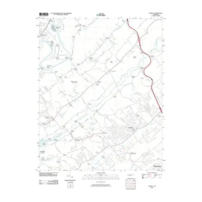 2010 Powell2010 Print · USGSThe expanding suburbs north of Knoxville meet the historic Clinch River bottomlands in the late 2000s. Genealogists and local historians can trace legacy sites like Baker Mill, the Slave Cemetery, and the Powell Post Office.
 - 2010 Map of Norris, 2010 Print
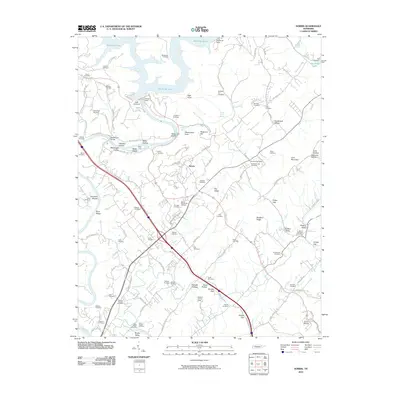 2010 Norris2010 Print · USGSThe Clinch River and the engineering of Norris Dam define this Anderson County landscape in the early twenty-first century. Researchers can trace dozens of family-named burial grounds like Disney Cemetery and Massengill Cemetery or locate the Anderson Post Office.
 - 2010 Map of Clinton, 2010 Print
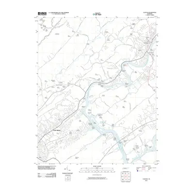 2010 Clinton2010 Print · USGSThe Clinch River corridor and the growing cities of Oak Ridge and Clinton are shown here in the early twenty-first century. Genealogists can locate family burial sites like the Slave Cemetery and Worthington Cemetery or trace old mining operations such as the Dyson Mine.
 - 2013 Map of Clinton, 2013 Print
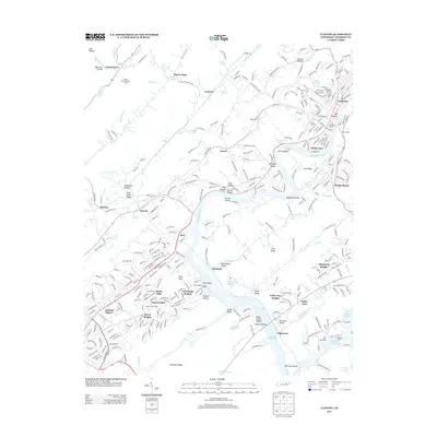 2013 Clinton2013 Print · USGSThe Clinch River valley near Oak Ridge is shown here during a period of modern growth and lakefront development. Researchers can trace family-named hollows and ridges alongside significant sites like Jackson Square, the Clinton Marina, and the community of Leinarts.
 - 2013 Map of Norris, 2013 Print
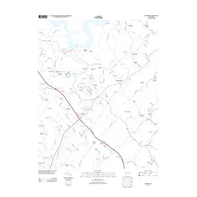 2013 Norris2013 Print · USGSThe Clinch River valley and the planned community of Norris are shown here in the early twenty-first century. Researchers can locate family landmarks like Massengill Bridge, the Riner Farm Airport, and rural springs such as Nelson Spring.
Showing maps 1-25 of 35
Top cities near Clinton
- Knoxville historical maps
- Oak Ridge historical maps
- Farragut historical maps
- Powell historical maps
- Halls Crossroads historical maps
- La Follette historical maps
See more
Top neighborhoods of Clinton
- Westwood Estates historical maps
- South Clinton historical maps
- I-75 Industrial Park historical maps
- Eagle Bend Industrial Park historical maps
- Clinch View historical maps
Frequently asked questions
- What are the different types of historical maps available for Clinton?
- What is the oldest map of Clinton?
- Where can I purchase historical maps of Clinton for my home or office?
- Where can I download high-res historical maps of Clinton?
- Are there historical topographic maps available for Clinton?
- Is there historical aerial imagery available for Clinton?
- Where are historical maps of Clinton sourced from?