Old Maps of Benton Cut, Tennessee for Hiking & Exploration
Hike through history with 9 historic maps of Benton Cut. Explore old trails, ghost towns, and forgotten backroads — perfect for outdoor adventurers and local explorers.
- Rediscover forgotten places: Map out old mining camps, roads, and footpaths that no longer exist on modern maps.
- Layer with modern tools: Combine with LiDAR or satellite views to plan hikes through historical terrain.
- Made for exploration: Popular among hikers, overlanders, and local history lovers.
Use these maps to find adventure and explore the hidden past of Benton Cut.
Benton Cut, TN maps
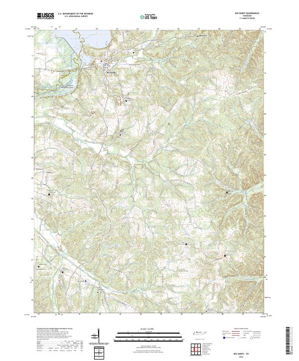
(9)- 1936 Map of Big Sandy
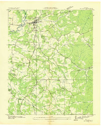 1936 Big Sandy1936 Print · USGSBig Sandy and its river valleys appear here in the mid-1930s just as the Tennessee Valley Authority was documenting the region's rural infrastructure. Genealogists and historians can locate dozens of country landmarks including McCarthy Chapel, Byer Sch, and Benton Cut along the rail line.
 - 1950 Map of Big Sandy, 1953 Print
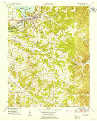 1950 Big Sandy1953 Print · USGSThe Tennessee riverfront near the Big Sandy settlement and the newly formed Kentucky Lake appears here in the early fifties. Genealogists and local historians can trace rural family life through landmarks like McRae Chapel, Morgan Claxton School, and Baker Chapel Cem.3 unique versions available
 - 1956 Map of Dyersburg, 1960 Print
 1956 Dyersburg1960 Print · USGSThe Four Rivers region comes alive in the mid-fifties, capturing the intricate borderlands of Tennessee, Kentucky, and Missouri. Genealogists and historians can trace the rail-and-river networks connecting Dyersburg, Caruthersville, and the shoreline of Reelfoot Lake.4 unique versions available
 - 1986 Map of McKenzie
 1986 McKenzie1986 Print · USGSWest Tennessee in the mid-eighties was a landscape defined by its deep river forks and the massive waters of Kentucky Lake. Researchers can trace the rail lines of the Louisville & Nashville RR and find local landmarks from Skullbone to the Paris Landing State Park.3 unique versions available
 - 2010 Map of Big Sandy, 2010 Print
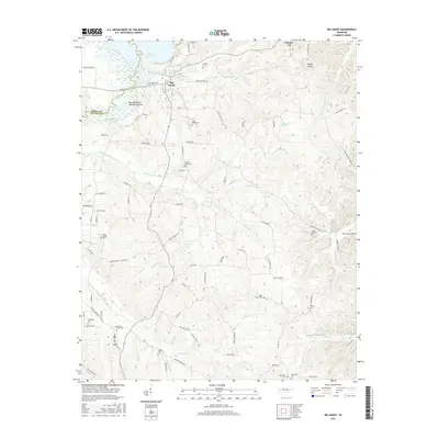
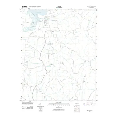 2010 Big Sandy2010 Print · USGSCovers Benton Cut, including Big Sandy, Henry County, and other nearby areas
 - 2013 Map of Big Sandy, 2013 Print
 2013 Big Sandy2013 Print · USGSCovers Benton Cut, including Big Sandy, Henry County, and other nearby areas
 - 2016 Map of Big Sandy, 2016 Print
 2016 Big Sandy2016 Print · USGSCovers Benton Cut, including Big Sandy, Henry County, and other nearby areas
 - 2019 Map of Big Sandy, 2019 Print
 2019 Big Sandy2019 Print · USGSCovers Benton Cut, including Big Sandy, Henry County, and other nearby areas
 - 2022 Map of Big Sandy, 2022 Print
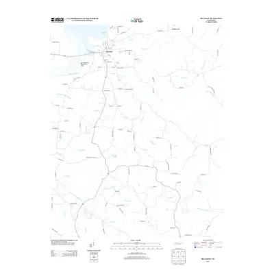
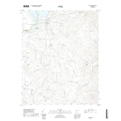
 2022 Big Sandy2022 Print · USGSBenton County river life and rural family heritage are documented here during the early twenty-first century. Researchers can trace ancestral locations near Big Sandy and several historic burial grounds, including Rushings Creek Cem and Mount Zion Cem.
End of results
Showing maps 1-9 of 9
Top cities near Benton Cut
- Waverly historical maps
- Camden historical maps
- New Johnsonville historical maps
- Dover historical maps
- Bruceton historical maps
- Big Sandy historical maps
Frequently asked questions
- What are the different types of historical maps available for Benton Cut?
- What is the oldest map of Benton Cut?
- Where can I purchase historical maps of Benton Cut for my home or office?
- Where can I download high-res historical maps of Benton Cut?
- Are there historical topographic maps available for Benton Cut?
- Is there historical aerial imagery available for Benton Cut?
- Where are historical maps of Benton Cut sourced from?