Old Maps of Cherry Grove, Tennessee for Hiking & Exploration
Hike through history with 10 historic maps of Cherry Grove. Explore old trails, ghost towns, and forgotten backroads — perfect for outdoor adventurers and local explorers.
- Rediscover forgotten places: Map out old mining camps, roads, and footpaths that no longer exist on modern maps.
- Layer with modern tools: Combine with LiDAR or satellite views to plan hikes through historical terrain.
- Made for exploration: Popular among hikers, overlanders, and local history lovers.
Use these maps to find adventure and explore the hidden past of Cherry Grove.
Cherry Grove, TN maps
(10)- 1936 Map of Johnsonville
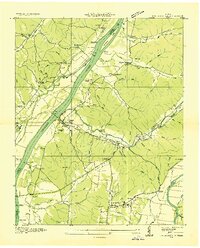 1936 Johnsonville1936 Print · USGSThe Tennessee River corridor in Humphreys County comes alive in the mid-1930s, showing the intersection of rail and river commerce. Genealogists and local historians can trace family sites like Crockett Cem or visit vanished points like Reynoldsburg Landing and Eva Station.
 - 1950 Map of Johnsonville, 1952 Print
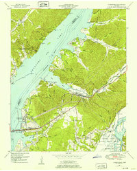 1950 Johnsonville1952 Print · USGSMid-century Tennessee geography is defined here by the creation of Kentucky Lake and the resulting relocation of river communities. Genealogists and historians can trace the transition from Old Johnsonville to New Johnsonville, alongside landmarks like Fairview Sch and Denver.4 unique versions available
 - 1956 Map of Nashville, 1971 Print
 1956 Nashville1971 Print · USGSThe Tennessee-Kentucky borderlands come into focus in the mid-1960s as major reservoir projects transformed the Cumberland and Tennessee river valleys. Researchers can trace the rail networks of the Louisville and Nashville and visit sites like Fort Campbell and Fort Donelson National Military Park.2 unique versions available
 - 1959 Map of Nashville
 1959 Nashville1959 Print · USGSMiddle Tennessee and Southern Kentucky come into focus during the late fifties, showing the region's transition into a modern transportation and military hub. Researchers can trace the sprawling Fort Campbell Military Reservation or locate historic rail stops along the Tennessee Central Ry and Illinois Central RR.
 - 1985 Map of Dickson
 1985 Dickson1985 Print · USGSMid-Tennessee in the mid-1980s was defined by the intersection of the Cumberland and Tennessee rivers and a massive network of wildlife refuges. Researchers can trace the Seaboard System rail lines connecting Waverly, Dickson, and White Bluff, or locate old landmarks near Fort Donelson National Military Park.
 - 2010 Map of Johnsonville, 2010 Print
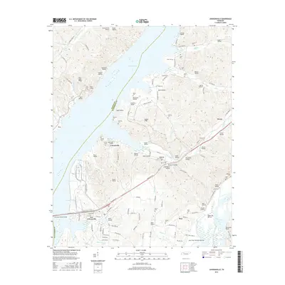
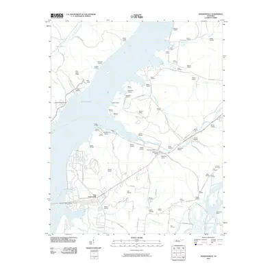 2010 Johnsonville2010 Print · USGSCovers Cherry Grove, including Camden, New Johnsonville, and other nearby areas
 - 2013 Map of Johnsonville, 2013 Print
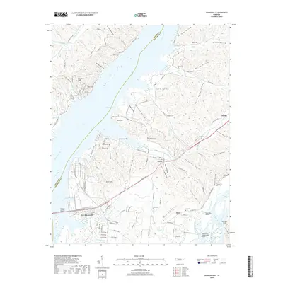
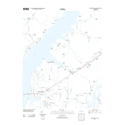 2013 Johnsonville2013 Print · USGSCovers Cherry Grove, including Camden, New Johnsonville, and other nearby areas
 - 2016 Map of Johnsonville, 2016 Print
 2016 Johnsonville2016 Print · USGSCovers Cherry Grove, including Camden, New Johnsonville, and other nearby areas
 - 2019 Map of Johnsonville, 2019 Print
 2019 Johnsonville2019 Print · USGSCovers Cherry Grove, including Camden, New Johnsonville, and other nearby areas
 - 2022 Map of Johnsonville, 2022 Print
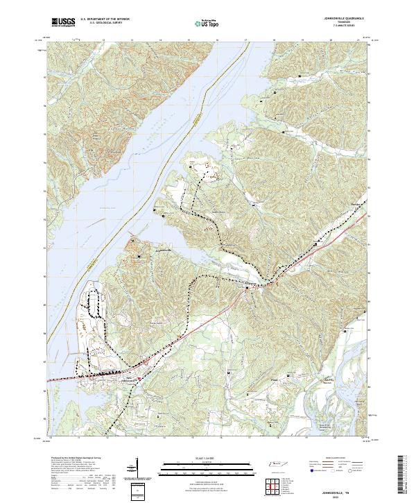 2022 Johnsonville2022 Print · USGSThe Tennessee River and Kentucky Lake shoreline come into focus during the early twenty-first century, revealing a landscape shaped by water and history. Researchers can trace family roots at Winfrey Cem or Crockett Cem and explore the rail history along the Railroad Trl.
End of results
Showing maps 1-10 of 10
Top cities near Cherry Grove
- Waverly historical maps
- Camden historical maps
- New Johnsonville historical maps
- Big Sandy historical maps
Frequently asked questions
- What are the different types of historical maps available for Cherry Grove?
- What is the oldest map of Cherry Grove?
- Where can I purchase historical maps of Cherry Grove for my home or office?
- Where can I download high-res historical maps of Cherry Grove?
- Are there historical topographic maps available for Cherry Grove?
- Is there historical aerial imagery available for Cherry Grove?
- Where are historical maps of Cherry Grove sourced from?