Old Maps of McIllwain, Tennessee for Metal Detecting
Plan your next treasure hunt with 10 historic maps of McIllwain. Find old homesites, ghost towns, trails, and gathering spots that may be lost to time — perfect for identifying promising metal detecting locations.
- Locate forgotten sites: Uncover places like long-lost settlements, abandoned rail lines, or gathering spots.
- Plan better hunts: Use map overlays combined with LiDAR or satellite views to narrow in on historically rich areas.
- Made for detectorists: Thousands of hobbyists use these maps to discover relics, coins, and hidden history.
Use these historic maps to boost your research and find new opportunities beneath the surface of McIllwain.
McIllwain, TN maps
(10)- 1936 Map of Sugar Tree
 1936 Sugar Tree1936 Print · USGSDecatur and Benton counties are shown in the mid-thirties just as the TVA began its work along the river. Researchers can locate numerous family-named landmarks and community centers such as McIlwain, Hartley Cem, and Moore Chapel Sch.
 - 1949 Map of Sugar Tree, 1953 Print
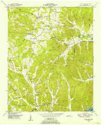 1949 Sugar Tree1953 Print · USGSBenton and Decatur Counties are captured in the late 1940s, showing a landscape of deep hollows and high ridges along the Tennessee River. Genealogists can trace family names at Manley Chapel Cemetery and locate vanished local landmarks like Spences Store or Mellwain.2 unique versions available
 - 1956 Map of Blytheville, 1964 Print
 1956 Blytheville1964 Print · USGSWest Tennessee and the Arkansas Delta come alive in this mid-century survey of the river-and-rail corridor connecting Memphis to Jackson. Genealogists and historians can trace the rail lines of the Louisville and Nashville RR and locate landmarks like Western State Hospital or Fort Pillow State Prison Farm.2 unique versions available
 - 1959 Map of Blytheville
 1959 Blytheville1959 Print · USGSWest Tennessee and Northeast Arkansas meet along the river in the late fifties, during a period of steady industrial and agricultural growth. Genealogists can trace the rail corridors of the Illinois Central through Jackson or explore landmarks like Shiloh National Military Park and Fort Pillow State Prison.
 - 1986 Map of Milan
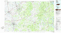 1986 Milan1986 Print · USGSWest Tennessee in the mid-eighties shows a landscape defined by industrial military sites and expansive state forests. Trace the rail lines of the Seaboard System RR, locate the Milan Arsenal, or explore the protected lands of Natchez Trace State Forest.2 unique versions available
 - 2010 Map of Sugar Tree, 2010 Print
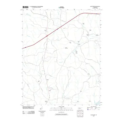 2010 Sugar Tree2010 Print · USGSDecatur County at the turn of the millennium remains a landscape of deep hollows and family-named landmarks east of the river. Genealogists can locate numerous local burial grounds such as Flavwoods Cemetery and Hartley Cemetery near the Sugar Tree Post Office.
 - 2013 Map of Sugar Tree, 2013 Print
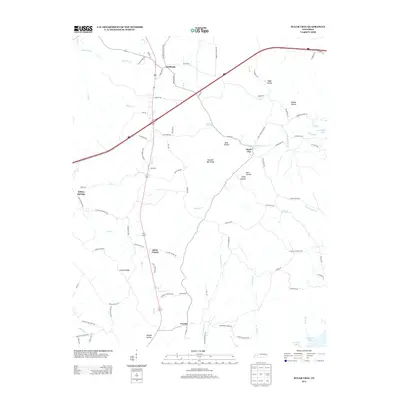 2013 Sugar Tree2013 Print · USGSThe rural communities of Decatur County are captured here in the early twenty-first century as they border the waters of the Tennessee River. Researchers can trace family roots through landmarks like Akins Chapel, Cozette, and the Bawcum Cemetery.
 - 2016 Map of Sugar Tree, 2016 Print
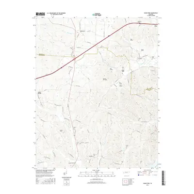 2016 Sugar Tree2016 Print · USGSBenton and Decatur County hills are documented here in 2016, showing a landscape of deep hollows and family-named ridges. Genealogists can trace rural homesteads and numerous burial grounds like Oak Grove and Wesson Cemeteries near Sugar Tree.
 - 2019 Map of Sugar Tree, 2019 Print
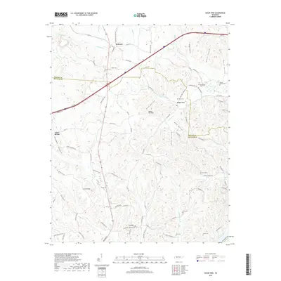 2019 Sugar Tree2019 Print · USGSBenton and Decatur Counties are mapped here in the late twenty-teens, showing the enduring rural layout of the Western Tennessee valley. Genealogists can locate family burial sites at Old Morgans Creek Cem or Oak Grove Cem and trace the paths through Blue Hollow and Conrad Ridge.
 - 2022 Map of Sugar Tree, 2022 Print
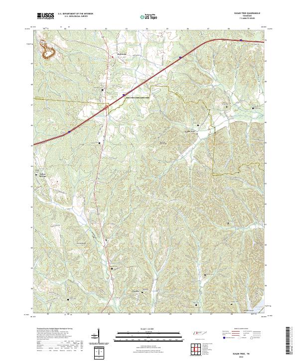 2022 Sugar Tree2022 Print · USGSThe rural landscapes of Decatur and Benton counties are documented here in the early twenty-first century, showing a region defined by its ridge-top settlements and creek valleys. Genealogists can trace family landmarks across Bumble Bee Ridge or locate ancestral burial sites like Bawcum Cem and Wesson Cem.
End of results
Showing maps 1-10 of 10
Top cities near McIllwain
- Waverly historical maps
- Camden historical maps
- Parsons historical maps
- New Johnsonville historical maps
- Bruceton historical maps
- Hollow Rock historical maps
Frequently asked questions
- What are the different types of historical maps available for McIllwain?
- What is the oldest map of McIllwain?
- Where can I purchase historical maps of McIllwain for my home or office?
- Where can I download high-res historical maps of McIllwain?
- Are there historical topographic maps available for McIllwain?
- Is there historical aerial imagery available for McIllwain?
- Where are historical maps of McIllwain sourced from?