Old Maps of Pikeville, Tennessee for Metal Detecting
Plan your next treasure hunt with 24 historic maps of Pikeville. Find old homesites, ghost towns, trails, and gathering spots that may be lost to time — perfect for identifying promising metal detecting locations.
- Locate forgotten sites: Uncover places like long-lost settlements, abandoned rail lines, or gathering spots.
- Plan better hunts: Use map overlays combined with LiDAR or satellite views to narrow in on historically rich areas.
- Made for detectorists: Thousands of hobbyists use these maps to discover relics, coins, and hidden history.
Use these historic maps to boost your research and find new opportunities beneath the surface of Pikeville.
Pikeville, TN maps
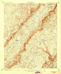
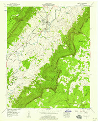
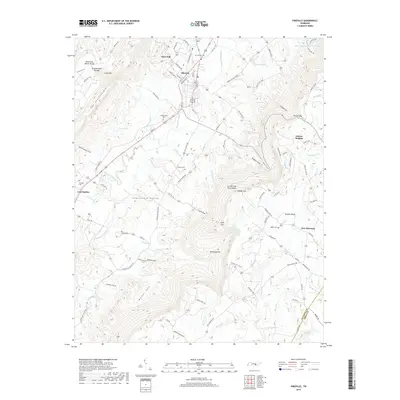
(24)- 1892 Map of Pikeville
 1892 Pikeville1892 Print · USGSThe Cumberland Plateau in the 1890s shows a rugged landscape of early river ferries and mountain gaps. Genealogists and historians can trace the paths between Sparta and Crossville, locating landmarks like Hodge Ferry and the Rock House tavern.
 - 1895 Map of Pikeville
 1895 Pikeville1895 Print · USGSThe Cumberland Plateau was a landscape of mountain settlements and critical gaps in the 1890s. Genealogists can trace family roots through upland communities like Pomona and Lantana, or locate old landmarks like Hale Chapel and Hodge Ferry along the river.7 unique versions available
 - 1909 Map of Sequatchie Valley, 1955 Print
 1909 Sequatchie Valley1955 Print · USGSBledsoe County at the turn of the century shows a landscape of river-valley agriculture and rugged plateau crossings. Genealogists can locate family homesteads near landmarks like Mansfield Mill, Smyrna Church, or the Melvine Post Office.
 - 1910 Map of Pikeville
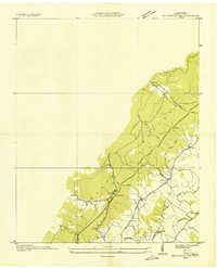
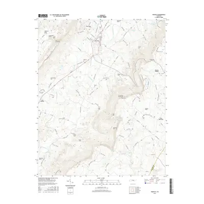
 1910 Pikeville1910 Print · USGSBledsoe County at the turn of the century shows a landscape of valley farms and mountain gaps connected by the Nashville Chattanooga and St Louis RR. Researchers can locate early milling sites like Hembree Mill and rural landmarks such as Melvine PO and Saratoga Springs.2 unique versions available
 - 1935 Map of Billingsley Gap
 1935 Billingsley Gap1935 Print · USGSBledsoe County at the onset of the Tennessee Valley Authority era shows a landscape defined by the steep descent from the plateau to the river valley. Genealogists can trace family landmarks and rural hubs like Iron Hill Cem, Mt Zion Sch, and the Emery Mill.
 - 1935 Map of Pikeville
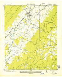 1935 Pikeville1935 Print · USGSBledsoe County is documented here in the mid-1930s as the New Deal began reshaping the Sequatchie Valley. Researchers can trace ancestral locations through Shoemate Cem, locate the CCC Camp Sam Houston No 1466, or follow the Alvin C York Highway.
 - 1953 Map of Chattanooga
 1953 Chattanooga1953 Print · USGSSoutheast Tennessee in the early fifties shows a landscape reshaped by river management and rail power. Trace the rail lines of the Southern Ry through riverside towns or locate the preserved grounds of the Chickamauga and Chattanooga National Military Park.
 - 1956 Map of Billingsley Gap, 1958 Print
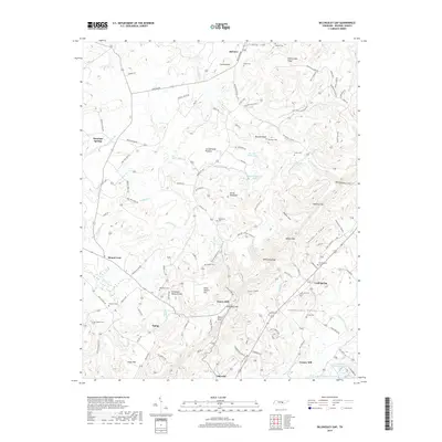
 1956 Billingsley Gap1958 Print · USGSBledsoe County is captured here in the mid-fifties as rural life centered on the dramatic descent from the plateau to the valley floor. Genealogists can trace family footprints at Saratoga Springs, Cooper Mill, and the Blackburn Cem.3 unique versions available
 - 1956 Map of Pikeville, 1958 Print
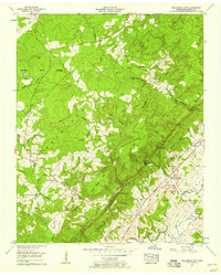
 1956 Pikeville1958 Print · USGSBledsoe County in the mid-fifties is dominated by the steep rise of the Cumberland Escarpment and the winding Sequatchie River. Researchers can trace family history through sites like Lincoln Sch, Wesley Chapel, and the Humble Cem.5 unique versions available
 - 1957 Map of Chattanooga, 1966 Print
 1957 Chattanooga1966 Print · USGSEast Tennessee in the mid-1960s shows a landscape of massive hydroelectric reservoirs and emerging industrial sites like the Atomic Energy Commission (Oak Ridge Area). Trace the rail networks of the Southern Ry through Chattanooga or locate family-named ridges across the Cumberland Plateau.3 unique versions available
 - 1959 Map of Chattanooga
 1959 Chattanooga1959 Print · USGSSoutheast Tennessee is shown here during a decade of industrial growth and hydroelectric development. Trace the regional rail networks of the Southern Ry and find landmark sites like Lookout Mountain, Fall Creek Falls State Park, and Chattanooga.
 - 1960 Map of Chattanooga
 1960 Chattanooga1960 Print · USGSSoutheast Tennessee and the southern Appalachians are shown here at the height of the river-management era. You can trace the valley rail lines and locate Lookout Mountain and the expansive waters of Chickamauga Reservoir.
 - 1964 Map of Chattanooga
 1964 Chattanooga1964 Print · USGSSoutheast Tennessee and the western Carolinas appear in the mid-sixties as a powerhouse of river-driven industry and mountain wilderness. Genealogists and historians can trace rail-town lineages along the Southern Ry or locate family landmarks near Watts Bar Lake and Tellico Plains.
 - 1981 Map of Mc Minnville
 1981 Mc Minnville1981 Print · USGSThe Cumberland Plateau and the Sequatchie Valley meet in this early 1980s look at Warren and White Counties. Researchers can locate vanished rural landmarks like Hutchins College, the old rail stops of the Tennessee Central, and Mount Zion Cem.
 - 2010 Map of Billingsley Gap, 2010 Print
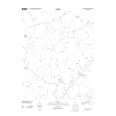
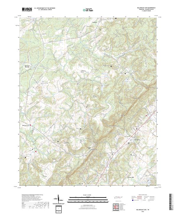
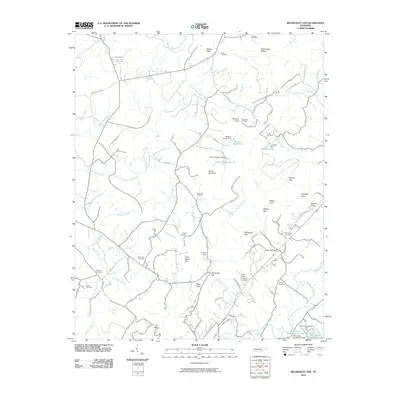 2010 Billingsley Gap2010 Print · USGSCovers Pikeville, including Cooper Mill, Emery Mill, and other nearby areas
 - 2010 Map of Pikeville, 2010 Print
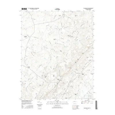
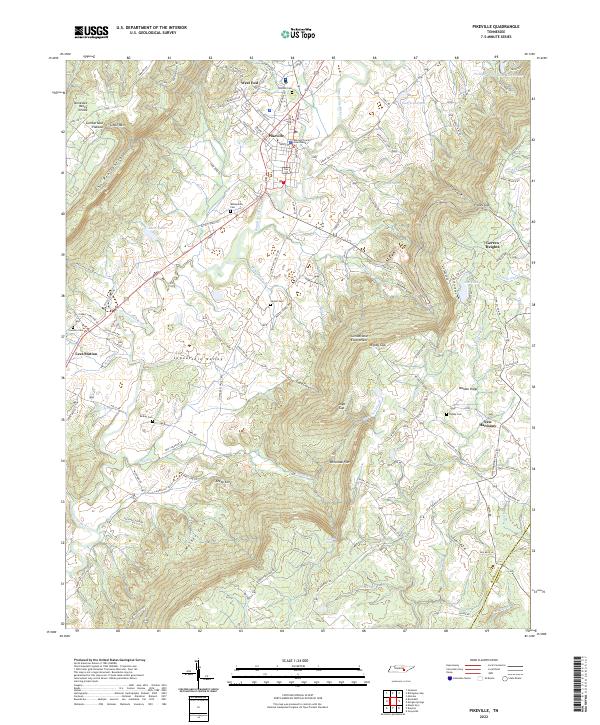
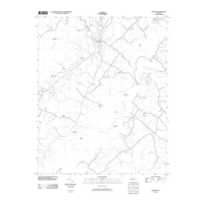 2010 Pikeville2010 Print · USGSCovers Pikeville, including Gerren Heights, West End, and other nearby areas
 - 2013 Map of Pikeville, 2013 Print
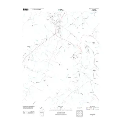 2013 Pikeville2013 Print · USGSCovers Pikeville, including Gerren Heights, West End, and other nearby areas
 - 2013 Map of Billingsley Gap, 2013 Print
 2013 Billingsley Gap2013 Print · USGSCovers Pikeville, including Cooper Mill, Emery Mill, and other nearby areas
 - 2016 Map of Billingsley Gap, 2016 Print
 2016 Billingsley Gap2016 Print · USGSCovers Pikeville, including Cooper Mill, Emery Mill, and other nearby areas
 - 2016 Map of Pikeville, 2016 Print
 2016 Pikeville2016 Print · USGSCovers Pikeville, including Gerren Heights, West End, and other nearby areas
 - 2019 Map of Billingsley Gap, 2019 Print
 2019 Billingsley Gap2019 Print · USGSCovers Pikeville, including Cooper Mill, Emery Mill, and other nearby areas
 - 2019 Map of Pikeville, 2019 Print
 2019 Pikeville2019 Print · USGSCovers Pikeville, including Gerren Heights, West End, and other nearby areas
 - 2022 Map of Billingsley Gap, 2022 Print
 2022 Billingsley Gap2022 Print · USGSBledsoe County is documented here during the early 2020s as the Cumberland Plateau meets the Sequatchie Valley. Researchers can trace family history through numerous local sites like Simmons Cem and Knight Cem or locate the historic Emery Mill.
 - 2022 Map of Pikeville, 2022 Print
 2022 Pikeville2022 Print · USGSBledsoe County's valley and plateau landscapes are captured here as they appeared in the early 2020s. Genealogists can locate family landmarks such as McReynolds Cem and Rigsby Cem or trace the early paths of Lees Station and New Harmony.
End of results
Showing maps 1-24 of 24
Top cities near Pikeville
Frequently asked questions
- What are the different types of historical maps available for Pikeville?
- What is the oldest map of Pikeville?
- Where can I purchase historical maps of Pikeville for my home or office?
- Where can I download high-res historical maps of Pikeville?
- Are there historical topographic maps available for Pikeville?
- Is there historical aerial imagery available for Pikeville?
- Where are historical maps of Pikeville sourced from?