2020s Maps of Carter County, Tennessee
Explore 16 historic maps of Carter County from the 2020s. These maps offer a rare glimpse into what life looked like during the 2020s — showing old roads, neighborhoods, homes, and landmarks that have changed or disappeared over time.
Whether you're researching your family's past, planning a metal detecting trip, or studying how Carter County's landscape evolved across the 2020s, these high-resolution maps are a powerful tool for exploring the history of this region.
- Focus on a specific era: All maps on this page are from the 2020s, giving you a focused view of this time period.
- See what’s changed: Compare century-old streets, trails, and buildings to today's modern landscape using overlays and satellite layers.
- Research with precision: Use these maps for genealogy, historical research, land use analysis, or educational projects.
- View, download, or print: Maps are fully viewable online in high resolution, and can be downloaded or printed for your own records.
Start exploring Carter County's history through authentic maps from the 2020s. This is your window into the past.
Carter County, TN maps
(16)- 2022 Map of Bakersville, 2022 Print
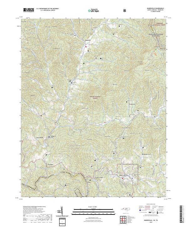 2022 Bakersville2022 Print · USGSThe high peaks of Mitchell County and the Tennessee border are captured here in the early 2020s. Researchers can locate numerous family burial sites like Ledford Cem and Gouge Cem, or trace the path of the Appalachian National Scenic Trail through the high country.
 - 2022 Map of Carvers Gap, 2022 Print
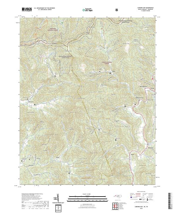 2022 Carvers Gap2022 Print · USGSHigh mountain ridges along the North Carolina and Tennessee border define this area during the early twenty-first century. Genealogists can trace family lineage through numerous sites like Roan Valley Cem, Pittman Cem, and the riverside community of Plumtree.
 - 2022 Map of Elk Park, 2022 Print
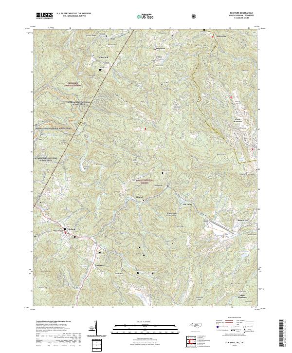 2022 Elk Park2022 Print · USGSThe High Country borderlands of North Carolina and Tennessee come into focus during this 2020s study. Researchers can trace dozens of family cemeteries and old communities like Heaton, Cranberry, and Farmer Mill along the Elk River and Appalachian Trail.
 - 2022 Map of Bluff City, 2022 Print
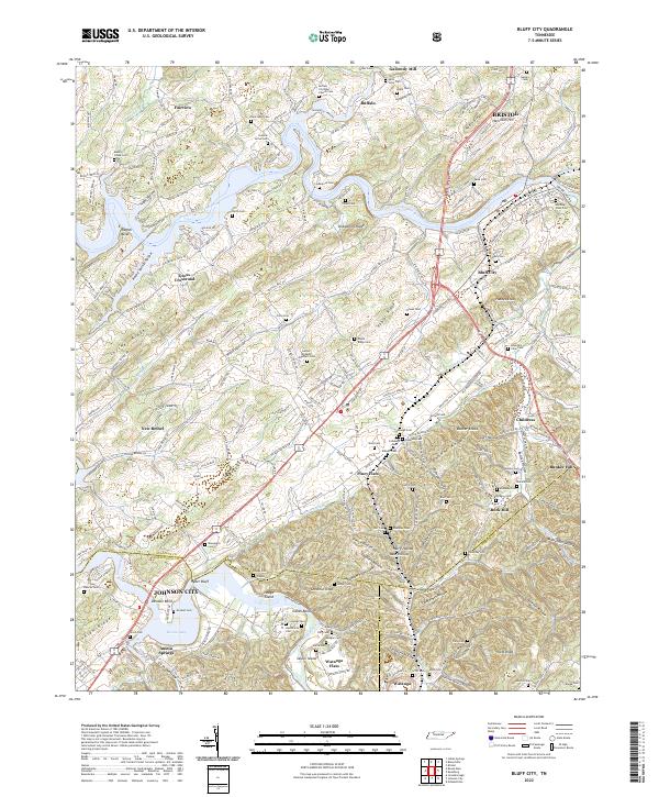 2022 Bluff City2022 Print · USGSNortheastern Tennessee at the confluence of the Holston and Watauga Rivers reveals a landscape of family-named ridges and valley settlements. Genealogists can trace dozens of small cemeteries like Buffalo Christian Church Cem and Morning View Cem near Bluff City.
 - 2022 Map of Carter, 2022 Print
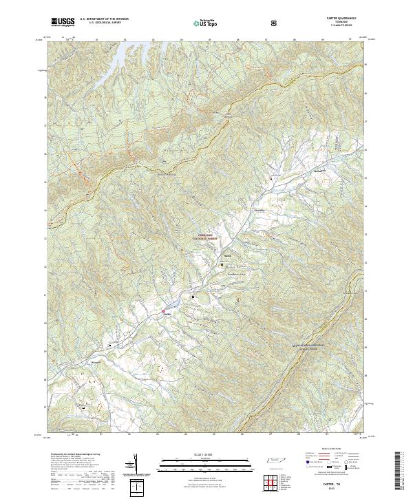 2022 Carter2022 Print · USGSNortheast Tennessee’s mountain valleys and high ridges are shown here in the early twenty-first century, spanning the border of Sullivan and Carter Counties. Genealogists can locate family landmarks like Grindstaff Cem and Ritchie Cem or trace the communities of Buladeen and Sadie.
 - 2022 Map of Iron Mountain Gap, 2022 Print
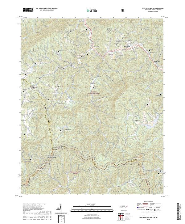 2022 Iron Mountain Gap2022 Print · USGSThe Tennessee and North Carolina borderlands come alive in this detailed recent survey of the ridges and hollows near Iron Mountain Gap. Researchers can trace family history through dozens of named burial sites like Whitehead Cem and Largent Cem or follow the Appalachian National Scenic Trail as it crosses Little Rock Knob.
 - 2022 Map of Doe, 2022 Print
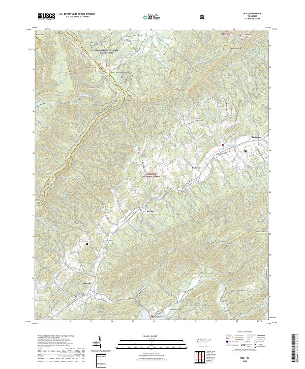 2022 Doe2022 Print · USGSThe high ridges of the Cherokee National Forest come alive in this survey of the Tennessee borderlands during the early twenty-first century. Researchers can trace historic mountain routes like Old Stage Rd and locate family burial sites at William Fleeman Cem or Campbell Cem.
 - 2022 Map of Elizabethton, 2022 Print
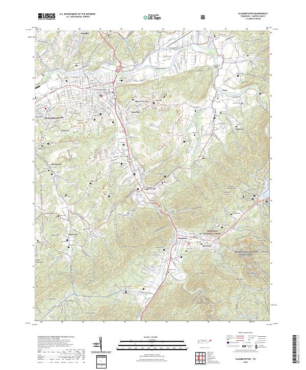 2022 Elizabethton2022 Print · USGSThe convergence of the Watauga and Doe Rivers defines this contemporary view of the Carter County seat. Genealogists can trace family landmarks like Carter Cem, Stover Cem, and the community of Valley Forge near the National Forest boundary.
 - 2022 Map of Elk Mills, 2022 Print
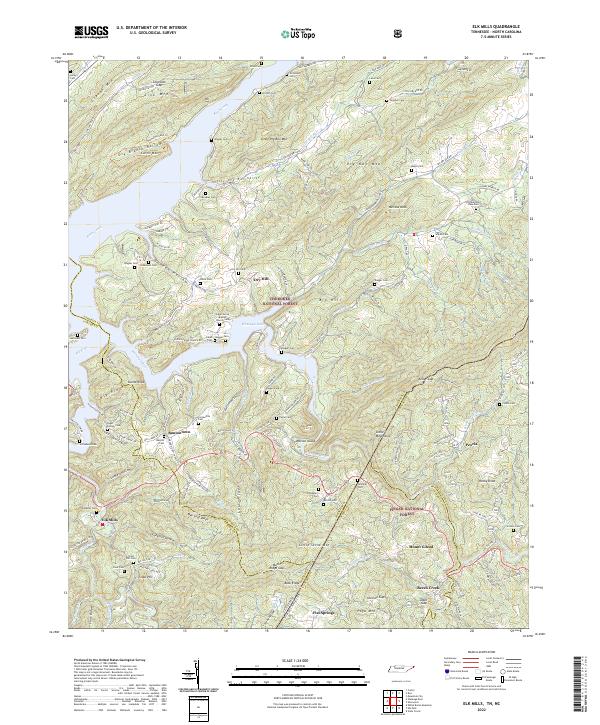 2022 Elk Mills2022 Print · USGSThe Tennessee and North Carolina borderlands come alive in this survey of the high country during the early twenty-first century. Genealogists can trace family footprints through numerous burial sites like Stansberry Cem and Crosswhite Cem near Buntontown.
 - 2022 Map of Shady Valley, 2022 Print
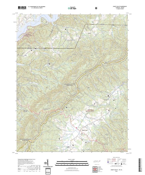 2022 Shady Valley2022 Print · USGSThe high mountain basin of Shady Valley is shown here in its modern context, where the Appalachian National Scenic Trail meets deep-rooted family history. Researchers can trace dozens of legacy family sites such as Wyatt Cem, Potter Cem, and the old settlement at Crandull.
 - 2022 Map of Unicoi, 2022 Print
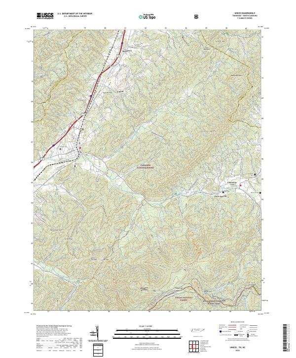 2022 Unicoi2022 Print · USGSThe northern Blue Ridge mountains meet the Tennessee-North Carolina border here in the early twenty-first century. Genealogists and hikers can trace family burial sites like Peterson Cem or follow the Appalachian National Scenic Trail through the Unaka Mountains.
 - 2022 Map of Holston Valley, 2022 Print
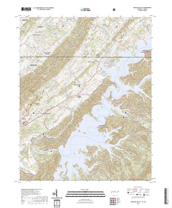 2022 Holston Valley2022 Print · USGSThe Tennessee-Virginia borderlands appear here in the early twenty-first century as a landscape of managed forests and deep reservoir waters. Genealogists can trace family names at Cleveland Presbyterian Church or burial sites like Sauls Cem and Cowan-Delaney Cem.
 - 2022 Map of Keenburg, 2022 Print
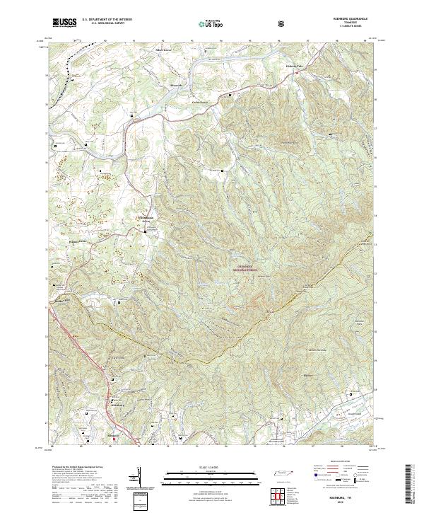 2022 Keenburg2022 Print · USGSSullivan and Carter counties come together in the 2020s amidst the high ridges and river bends of the Holston Valley. Genealogists and local historians can trace family burial sites like Crockett Cem and Crumley Cem or locate community centers like Chinquapin Grove.
 - 2022 Map of White Rocks Mountain, 2022 Print
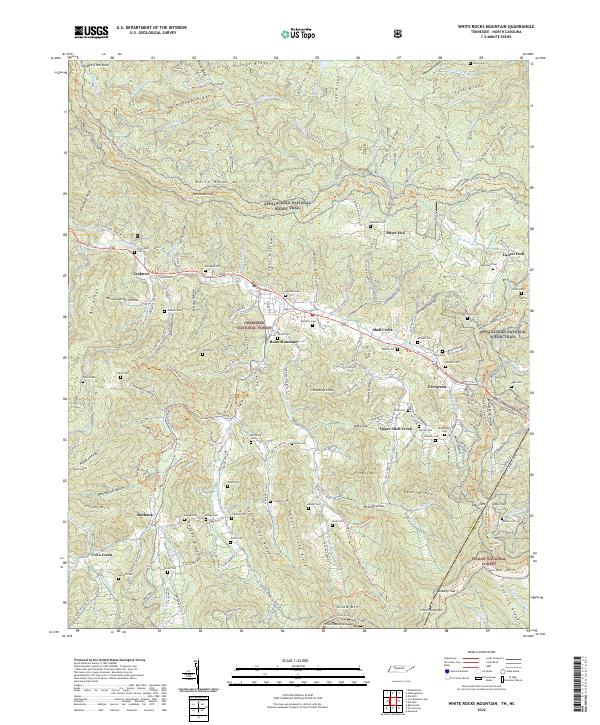 2022 White Rocks Mountain2022 Print · USGSThe Tennessee and North Carolina borderlands at Roan Mountain are detailed here in 2022, showing a landscape defined by high gaps and mountain ridges. Genealogists and hikers can trace the Appalachian National Scenic Trail and locate family sites like Moreland Cem and Blackwell Cem.
 - 2022 Map of Watauga Dam, 2022 Print
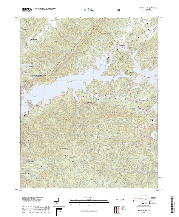 2022 Watauga Dam2022 Print · USGSThe eastern Tennessee mountains and the waters of Watauga Lake define this modern look at the Cherokee National Forest. Genealogists and hikers can trace the Appalachian National Scenic Trail past remote sites like Wagner Cem and the settlement of Fish Springs.
 - 2022 Map of Johnson City, 2022 Print
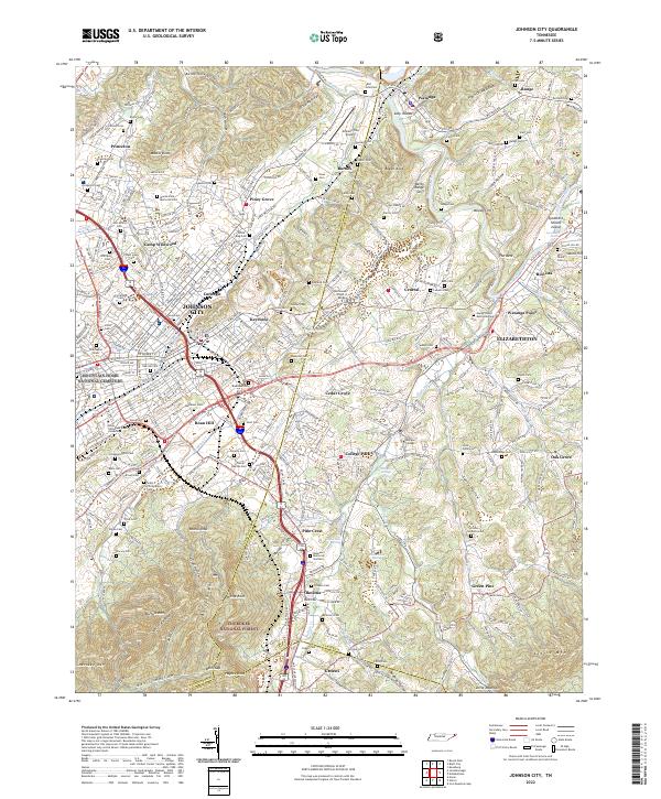 2022 Johnson City2022 Print · USGSJohnson City and Elizabethton appear at a modern crossroads of education and history in the early twenty-first century. Researchers can trace family roots at Mountain Home National Cemetery or locate historic grounds like Tipton-Haynes Cem and Milligan College.
End of results
Showing maps 1-16 of 16
Top cities of Carter County
Frequently asked questions
- What are the different types of historical maps available for Carter County?
- What is the oldest map of Carter County?
- Where can I purchase historical maps of Carter County for my home or office?
- Where can I download high-res historical maps of Carter County?
- Are there historical topographic maps available for Carter County?
- Is there historical aerial imagery available for Carter County?
- Where are historical maps of Carter County sourced from?