2000s (21st Century) Maps of Hopson, Tennessee
Explore 6 historic maps of Hopson from the 2000s (21st Century). These maps offer a rare glimpse into what life looked like during the 2000s — showing old roads, neighborhoods, homes, and landmarks that have changed or disappeared over time.
Whether you're researching your family's past, planning a metal detecting trip, or studying how Hopson's landscape evolved across the 2000s, these high-resolution maps are a powerful tool for exploring the history of this region.
- Focus on a specific era: All maps on this page are from the 2000s, giving you a focused view of this time period.
- See what’s changed: Compare century-old streets, trails, and buildings to today's modern landscape using overlays and satellite layers.
- Research with precision: Use these maps for genealogy, historical research, land use analysis, or educational projects.
- View, download, or print: Maps are fully viewable online in high resolution, and can be downloaded or printed for your own records.
Start exploring Hopson's history through authentic maps from the 2000s. This is your window into the past.
Hopson, TN maps
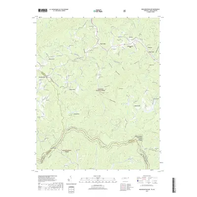
(6)- 2003 Map of Iron Mountain Gap, 2004 Print
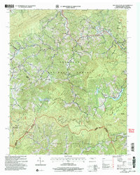 2003 Iron Mountain Gap2004 Print · USGSThe Tennessee and North Carolina borderlands are captured here at the turn of the millennium as the mountain landscape transitions between national forests. Local historians and genealogists can trace family names through numerous remote sites like Blevins Cem, Lacey Cem, and the Hopson Sch.
 - 2011 Map of Iron Mountain Gap, 2011 Print
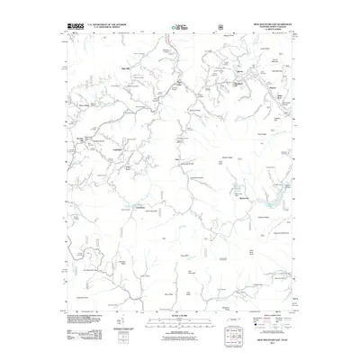 2011 Iron Mountain Gap2011 Print · USGSCovers Hopson, including Piney Grove, Plato, and other nearby areas
 - 2013 Map of Iron Mountain Gap, 2013 Print
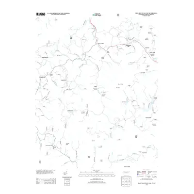 2013 Iron Mountain Gap2013 Print · USGSCovers Hopson, including Piney Grove, Plato, and other nearby areas
 - 2016 Map of Iron Mountain Gap, 2016 Print
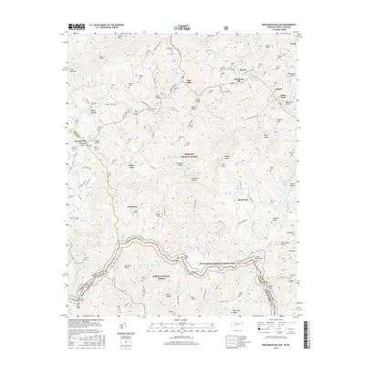 2016 Iron Mountain Gap2016 Print · USGSCovers Hopson, including Piney Grove, Plato, and other nearby areas
 - 2019 Map of Iron Mountain Gap, 2019 Print
 2019 Iron Mountain Gap2019 Print · USGSCovers Hopson, including Piney Grove, Plato, and other nearby areas
 - 2022 Map of Iron Mountain Gap, 2022 Print
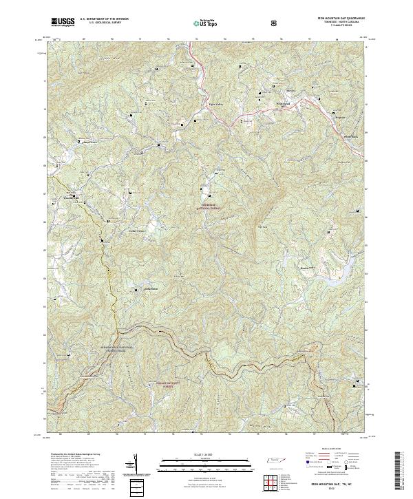 2022 Iron Mountain Gap2022 Print · USGSThe Tennessee and North Carolina borderlands come alive in this detailed recent survey of the ridges and hollows near Iron Mountain Gap. Researchers can trace family history through dozens of named burial sites like Whitehead Cem and Largent Cem or follow the Appalachian National Scenic Trail as it crosses Little Rock Knob.
End of results
Showing maps 1-6 of 6
Top cities near Hopson
- Johnson City historical maps
- Elizabethton historical maps
- Unicoi historical maps
- Pine Crest historical maps
- Central historical maps
- Bluff City historical maps
See more
Frequently asked questions
- What are the different types of historical maps available for Hopson?
- What is the oldest map of Hopson?
- Where can I purchase historical maps of Hopson for my home or office?
- Where can I download high-res historical maps of Hopson?
- Are there historical topographic maps available for Hopson?
- Is there historical aerial imagery available for Hopson?
- Where are historical maps of Hopson sourced from?