Old Maps of Ashland City, Tennessee for Hiking & Exploration
Hike through history with 28 historic maps of Ashland City. Explore old trails, ghost towns, and forgotten backroads — perfect for outdoor adventurers and local explorers.
- Rediscover forgotten places: Map out old mining camps, roads, and footpaths that no longer exist on modern maps.
- Layer with modern tools: Combine with LiDAR or satellite views to plan hikes through historical terrain.
- Made for exploration: Popular among hikers, overlanders, and local history lovers.
Use these maps to find adventure and explore the hidden past of Ashland City.
Ashland City, TN maps
(28)- 1903 Map of Nashville
 1903 Nashville1903 Print · USGSTennessee's capital region is captured at the dawn of the 1900s, when iron pikes and river locks dominated local commerce. Trace ancestral routes along Stewarts Ferry Pike, find rural landmarks like Curry Mill, or locate historical sites like The Hermitage.4 unique versions available
 - 1930 Map of White Bluff, 1953 Print
 1930 White Bluff1953 Print · USGSMiddle Tennessee in the 1930s is defined by the serpentine bends of the Harpeth River and the steam-era dominance of the Nashville Chattanooga and St Louis RR. Genealogists and historians can locate vanished country schools like Opossum Sch and trace early road networks including the Dickson Turnpike.
 - 1932 Map of Nashville
 1932 Nashville1932 Print · USGSNashville and its river bends are captured here in the early thirties, showing a city expanding toward suburbs like Belle Meade and Glendale Park. Genealogists can locate family landmarks like Loves Ch, Brentwood Sta, and numerous rural schools from Gower Sch to Ash Grove Sch.2 unique versions available
 - 1933 Map of White Bluff
 1933 White Bluff1933 Print · USGSThe Tennessee river country in the early thirties is defined here by the winding loops of the Harpeth River and the rail line through White Bluff. Genealogists and researchers can trace rural life through landmarks like Mound Bottom, Frog Pond Ch, and Opossum Sch.
 - 1955 Map of Scottsboro, 1956 Print
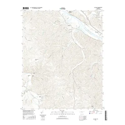
 1955 Scottsboro1956 Print · USGSThe Cumberland River bends through western Davidson County in the mid-fifties, revealing a landscape of rural schoolhouses and riverside bends. Local researchers can trace family roots at New Bethel Ch, Wade Sch, and the grounds of the State Penitentiary.
 - 1956 Map of Nashville, 1971 Print
 1956 Nashville1971 Print · USGSThe Tennessee-Kentucky borderlands come into focus in the mid-1960s as major reservoir projects transformed the Cumberland and Tennessee river valleys. Researchers can trace the rail networks of the Louisville and Nashville and visit sites like Fort Campbell and Fort Donelson National Military Park.2 unique versions available
 - 1957 Map of Ashland City, 1958 Print
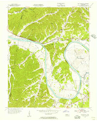
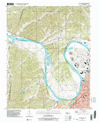
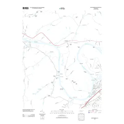
 1957 Ashland City1958 Print · USGSAshland City and the Cumberland River valley are captured in the late fifties as the new reservoir landscape took shape. Genealogists and local historians can trace family burial grounds like Fannie Field Cem and rural hubs such as Sycamore Chapel.4 unique versions available
 - 1959 Map of Nashville
 1959 Nashville1959 Print · USGSMiddle Tennessee and Southern Kentucky come into focus during the late fifties, showing the region's transition into a modern transportation and military hub. Researchers can trace the sprawling Fort Campbell Military Reservation or locate historic rail stops along the Tennessee Central Ry and Illinois Central RR.
 - 1966 Map of Lillamay, 1967 Print
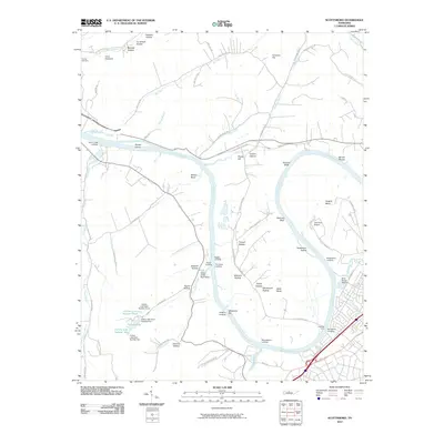
 1966 Lillamay1967 Print · USGSThe Harpeth and Cumberland rivers frame this 1960s landscape of managed wilds and ancient sites. Genealogists and historians can trace Indian Mounds at Mound Bottom and local landmarks like Sams Creek Ch and Scott Cem.3 unique versions available
 - 1968 Map of Scottsboro, 1970 Print
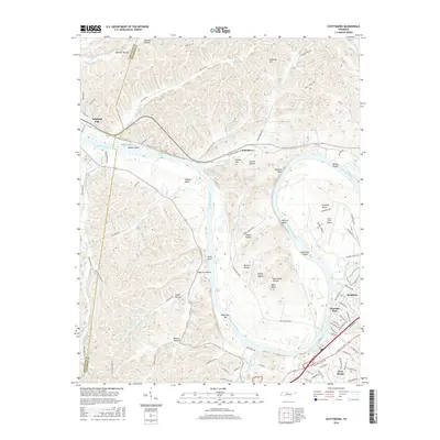
 1968 Scottsboro1970 Print · USGSThe Cumberland River loops west of Nashville in the late sixties as suburban growth meets the rural bends. Trace the river economy via Cleeces Ferry and the Illinois Central Railroad, or find the massive State Penitentiary at Cockrill Bend.4 unique versions available
 - 1984 Map of Nashville, 1985 Print
 1984 Nashville1985 Print · USGSMiddle Tennessee in the mid-1980s reveals a region balancing urban expansion with its deep river-valley roots. Genealogists and historians can trace family locations near Old Hickory Lake, explore the grounds of Vanderbilt University, or locate ancestral sites like Greenwood Cem.
 - 1985 Map of Dickson
 1985 Dickson1985 Print · USGSMid-Tennessee in the mid-1980s was defined by the intersection of the Cumberland and Tennessee rivers and a massive network of wildlife refuges. Researchers can trace the Seaboard System rail lines connecting Waverly, Dickson, and White Bluff, or locate old landmarks near Fort Donelson National Military Park.
 - 1997 Map of Scottsboro, 2002 Print
 1997 Scottsboro2002 Print · USGSDavidson County in the late nineties is defined by the winding Cumberland River and the expanding suburbs of Nashville. Researchers can locate the State Penitentiary grounds, family burial sites at Bull Run Cems, and local landmarks like Watkins Chapel.
 - 2010 Map of Ashland City, 2010 Print
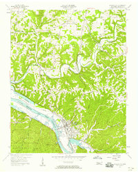
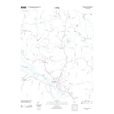
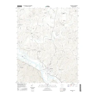
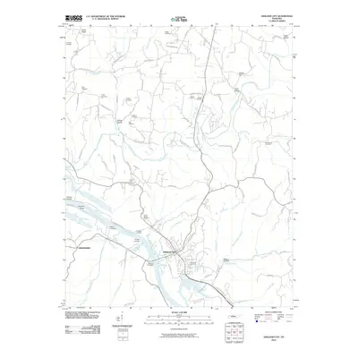 2010 Ashland City2010 Print · USGSCovers Ashland City, including Pleasant View, Bethlehem, and other nearby areas
 - 2010 Map of Lillamay, 2010 Print
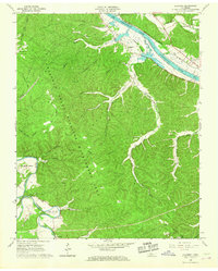
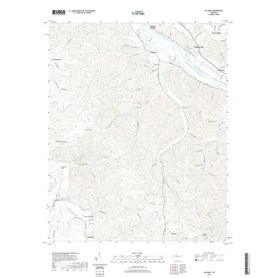
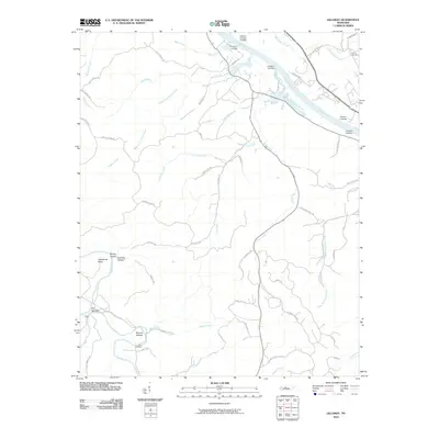 2010 Lillamay2010 Print · USGSCovers Ashland City, including Nashville, Pegram, and other nearby areas
 - 2010 Map of Scottsboro, 2010 Print
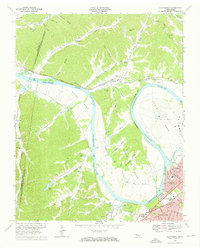
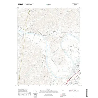
 2010 Scottsboro2010 Print · USGSCovers Ashland City, including Nashville, Charlotte Park, and other nearby areas
 - 2013 Map of Ashland City, 2013 Print
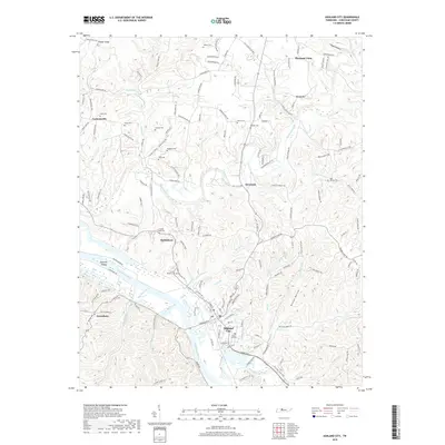
 2013 Ashland City2013 Print · USGSCovers Ashland City, including Pleasant View, Bethlehem, and other nearby areas
 - 2013 Map of Lillamay, 2013 Print
 2013 Lillamay2013 Print · USGSCovers Ashland City, including Nashville, Pegram, and other nearby areas
 - 2013 Map of Scottsboro, 2013 Print
 2013 Scottsboro2013 Print · USGSCovers Ashland City, including Nashville, Charlotte Park, and other nearby areas
 - 2016 Map of Lillamay, 2016 Print
 2016 Lillamay2016 Print · USGSCovers Ashland City, including Nashville, Pegram, and other nearby areas
 - 2016 Map of Scottsboro, 2016 Print
 2016 Scottsboro2016 Print · USGSCovers Ashland City, including Nashville, Charlotte Park, and other nearby areas
 - 2016 Map of Ashland City, 2016 Print
 2016 Ashland City2016 Print · USGSCovers Ashland City, including Pleasant View, Bethlehem, and other nearby areas
 - 2019 Map of Ashland City, 2019 Print
 2019 Ashland City2019 Print · USGSCovers Ashland City, including Pleasant View, Bethlehem, and other nearby areas
 - 2019 Map of Lillamay, 2019 Print
 2019 Lillamay2019 Print · USGSCovers Ashland City, including Nashville, Pegram, and other nearby areas
 - 2019 Map of Scottsboro, 2019 Print
 2019 Scottsboro2019 Print · USGSCovers Ashland City, including Nashville, Charlotte Park, and other nearby areas
Showing maps 1-25 of 28
Top cities near Ashland City
- Nashville historical maps
- Clarksville historical maps
- Brentwood historical maps
- North Nashville historical maps
- Springfield historical maps
- Fairview historical maps
See more
Top neighborhoods of Ashland City
Frequently asked questions
- What are the different types of historical maps available for Ashland City?
- What is the oldest map of Ashland City?
- Where can I purchase historical maps of Ashland City for my home or office?
- Where can I download high-res historical maps of Ashland City?
- Are there historical topographic maps available for Ashland City?
- Is there historical aerial imagery available for Ashland City?
- Where are historical maps of Ashland City sourced from?