Old Maps of Pegram, Tennessee for Metal Detecting
Plan your next treasure hunt with 17 historic maps of Pegram. Find old homesites, ghost towns, trails, and gathering spots that may be lost to time — perfect for identifying promising metal detecting locations.
- Locate forgotten sites: Uncover places like long-lost settlements, abandoned rail lines, or gathering spots.
- Plan better hunts: Use map overlays combined with LiDAR or satellite views to narrow in on historically rich areas.
- Made for detectorists: Thousands of hobbyists use these maps to discover relics, coins, and hidden history.
Use these historic maps to boost your research and find new opportunities beneath the surface of Pegram.
Pegram, TN maps
(17)- 1930 Map of White Bluff, 1953 Print
 1930 White Bluff1953 Print · USGSMiddle Tennessee in the 1930s is defined by the serpentine bends of the Harpeth River and the steam-era dominance of the Nashville Chattanooga and St Louis RR. Genealogists and historians can locate vanished country schools like Opossum Sch and trace early road networks including the Dickson Turnpike.
 - 1933 Map of White Bluff
 1933 White Bluff1933 Print · USGSThe Tennessee river country in the early thirties is defined here by the winding loops of the Harpeth River and the rail line through White Bluff. Genealogists and researchers can trace rural life through landmarks like Mound Bottom, Frog Pond Ch, and Opossum Sch.
 - 1956 Map of Nashville, 1971 Print
 1956 Nashville1971 Print · USGSThe Tennessee-Kentucky borderlands come into focus in the mid-1960s as major reservoir projects transformed the Cumberland and Tennessee river valleys. Researchers can trace the rail networks of the Louisville and Nashville and visit sites like Fort Campbell and Fort Donelson National Military Park.2 unique versions available
 - 1959 Map of Nashville
 1959 Nashville1959 Print · USGSMiddle Tennessee and Southern Kentucky come into focus during the late fifties, showing the region's transition into a modern transportation and military hub. Researchers can trace the sprawling Fort Campbell Military Reservation or locate historic rail stops along the Tennessee Central Ry and Illinois Central RR.
 - 1966 Map of Kingston Springs, 1967 Print
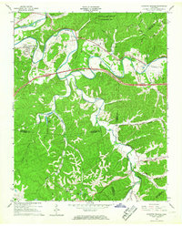 1966 Kingston Springs1967 Print · USGSIn the mid-sixties, the Harpeth River valley near Kingston Springs maintained its rural character and winding rail lines. Genealogists and local historians can locate several country churches like Wards Chapel and Lone Oak Ch, or trace the path of the Louisville and Nashville railroad.4 unique versions available
 - 1966 Map of Lillamay, 1967 Print
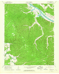 1966 Lillamay1967 Print · USGSThe Harpeth and Cumberland rivers frame this 1960s landscape of managed wilds and ancient sites. Genealogists and historians can trace Indian Mounds at Mound Bottom and local landmarks like Sams Creek Ch and Scott Cem.3 unique versions available
 - 1985 Map of Dickson
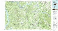 1985 Dickson1985 Print · USGSMid-Tennessee in the mid-1980s was defined by the intersection of the Cumberland and Tennessee rivers and a massive network of wildlife refuges. Researchers can trace the Seaboard System rail lines connecting Waverly, Dickson, and White Bluff, or locate old landmarks near Fort Donelson National Military Park.
 - 2010 Map of Lillamay, 2010 Print
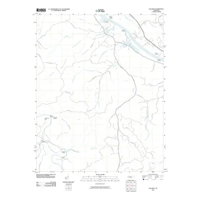 2010 Lillamay2010 Print · USGSThe river valleys west of Nashville are revealed in this modern survey of the Harpeth and Cumberland confluence. Genealogists and historians can trace family locations through Scott Cemetery, Mound Bottom, and historic riverfronts like Barton Landing.
 - 2010 Map of Kingston Springs, 2010 Print
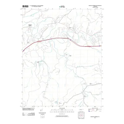 2010 Kingston Springs2010 Print · USGSThe Harpeth River valley south of Nashville shows a blend of rural tradition and modern infrastructure during the early twenty-first century. Researchers can trace family history through sites like Thornton Cemetery or explore the geography of Buffalo Gap and Camp Marymount.
 - 2013 Map of Kingston Springs, 2013 Print
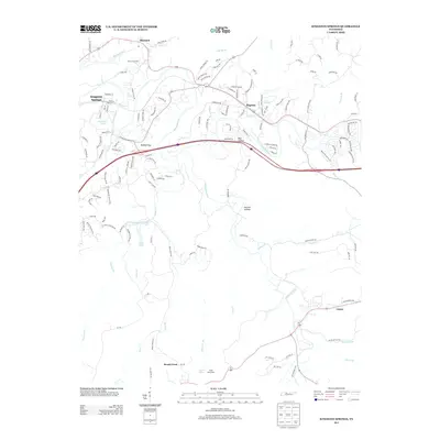 2013 Kingston Springs2013 Print · USGSThe rural landscapes west of Nashville come into focus during this period of steady growth along the Harpeth River. Researchers can trace old property boundaries and local landmarks from Black Friar Farm to the small communities of Pegram, Linton, and Kingston Springs.
 - 2013 Map of Lillamay, 2013 Print
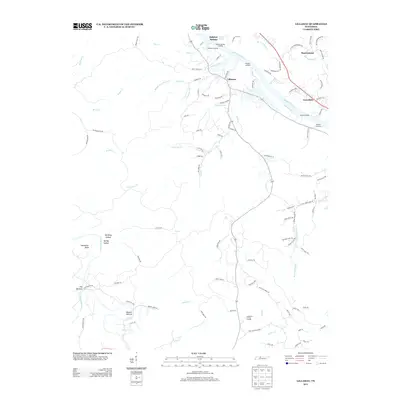 2013 Lillamay2013 Print · USGSThe Cumberland and Harpeth rivers converge in this area of Tennessee, forming dramatic bends and riverfront landings. Genealogists and historians can trace family roots near Lillamay, Mound Bottom, and old river access points like Shearons Landing.
 - 2016 Map of Lillamay, 2016 Print
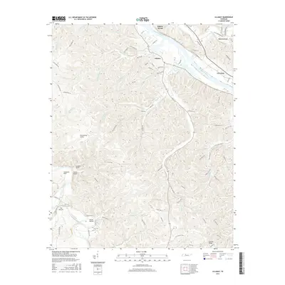 2016 Lillamay2016 Print · USGSWestern Davidson County and its borderlands are defined by the winding paths of the Cumberland and Harpeth Rivers. Genealogists and local historians can trace family ties at Carney Cemetery, find old crossroads like Gravelotte, or study the unique geography of Mound Bottom and The Narrows.
 - 2016 Map of Kingston Springs, 2016 Print
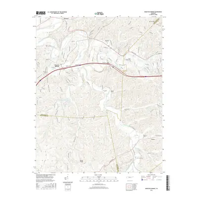 2016 Kingston Springs2016 Print · USGSCheatham and Davidson County communities thrive along the river bends in the mid-2010s. Researchers can locate multiple burial sites like the Tennessee State Veterans Cem and Mount Pleasant Cem, or trace the winding course of the Harpeth River.
 - 2019 Map of Lillamay, 2019 Print
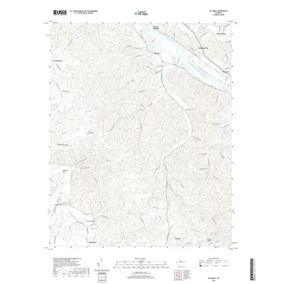 2019 Lillamay2019 Print · USGSThe Cumberland and Harpeth rivers converge in this rural Tennessee landscape during the late twenty-tens. Genealogists and local historians can trace family sites like Scott Cem near Shacklett or explore the unique river geography of The Narrows and Mound Bottom.
 - 2019 Map of Kingston Springs, 2019 Print
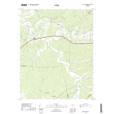 2019 Kingston Springs2019 Print · USGSCheatham and Davidson counties are mapped here in the late 2010s as they balance modern transit corridors with deep-rooted community history. Genealogists and local researchers can trace family sites at Mount Pleasant Cem, Thornton Cem, and the historic settlements of Pegram and Linton.
 - 2022 Map of Kingston Springs, 2022 Print
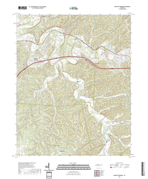 2022 Kingston Springs2022 Print · USGSThe Harpeth River valley and its surrounding hollows are captured here as they appeared in the early 2020s. Researchers can locate family landmarks like Thornton Cem, trace old routes like Old Harding Pike, or explore the settlement patterns of Kingston Springs and Linton.
 - 2022 Map of Lillamay, 2022 Print
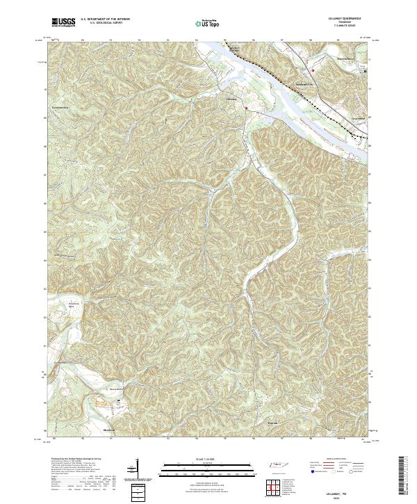 2022 Lillamay2022 Print · USGSCheatham County settlement patterns are preserved here as they appeared in the early 2020s, defined by the winding Cumberland River and prehistoric Mound Bottom. Researchers can trace local lineage through Scott Cem or locate the historic river settlements of Lillamay and Gravelotte.
End of results
Showing maps 1-17 of 17
Top cities near Pegram
- Nashville historical maps
- Franklin historical maps
- Brentwood historical maps
- Fairview historical maps
- Forest Hills historical maps
- Ashland City historical maps
See more
Frequently asked questions
- What are the different types of historical maps available for Pegram?
- What is the oldest map of Pegram?
- Where can I purchase historical maps of Pegram for my home or office?
- Where can I download high-res historical maps of Pegram?
- Are there historical topographic maps available for Pegram?
- Is there historical aerial imagery available for Pegram?
- Where are historical maps of Pegram sourced from?