Old Maps of Pleasant Hill, Enville for Genealogy
Trace your family roots with 10 historic maps of Pleasant Hill. These high-res maps reveal old neighborhoods, homesites, landmarks, and streets — helping you uncover where your ancestors lived and how the area evolved over time.
- Explore historic neighborhoods: Identify where your relatives may have lived in the 1800s or 1900s.
- Compare maps over time: Trace the changes in streets, buildings, and landmarks for multi-generational research.
- Perfect for genealogy & ancestry research: Used by family historians and researchers to map out lineage and migration.
These maps are an incredible resource for exploring your personal connection to Pleasant Hill's past.
Pleasant Hill, Enville maps
(10)- 1936 Map of Enville
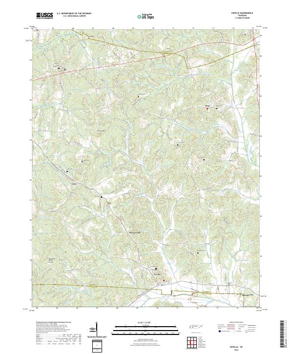
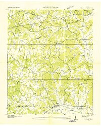 1936 Enville1936 Print · USGSThe crossroads of West Tennessee are captured here in the mid-1930s as rural life centered on local schools and churches. Researchers can pinpoint long-standing community hubs like Enville, Pleasant Hill Ch, and the Cherry Cem.
 - 1950 Map of Enville, 1952 Print
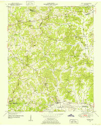 1950 Enville1952 Print · USGSMid-century West Tennessee comes to life here along the Tennessee Valley Divide at the meeting of three counties. Genealogists and local historians can trace family locations through numerous rural landmarks like Grove Springs Cem, Bailey Chapel, and Roby Sch.3 unique versions available
 - 1956 Map of Blytheville, 1964 Print
 1956 Blytheville1964 Print · USGSWest Tennessee and the Arkansas Delta come alive in this mid-century survey of the river-and-rail corridor connecting Memphis to Jackson. Genealogists and historians can trace the rail lines of the Louisville and Nashville RR and locate landmarks like Western State Hospital or Fort Pillow State Prison Farm.2 unique versions available
 - 1959 Map of Blytheville
 1959 Blytheville1959 Print · USGSWest Tennessee and Northeast Arkansas meet along the river in the late fifties, during a period of steady industrial and agricultural growth. Genealogists can trace the rail corridors of the Illinois Central through Jackson or explore landmarks like Shiloh National Military Park and Fort Pillow State Prison.
 - 1986 Map of Selmer
 1986 Selmer1986 Print · USGSThe Tennessee River valley and the West Tennessee highlands come into focus in the mid-eighties, showing the region's unique intersection of Civil War history and modern infrastructure. Genealogists and researchers can trace family landmarks like Gillisses Mills, the campus of Freed-Hardeman College, and the hallowed grounds of Shiloh National Military Park.3 unique versions available
 - 2010 Map of Enville, 2010 Print
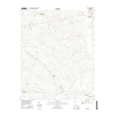
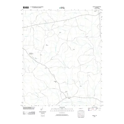 2010 Enville2010 Print · USGSCovers Pleasant Hill, including Roby, Cabo, and other nearby areas
 - 2013 Map of Enville, 2013 Print
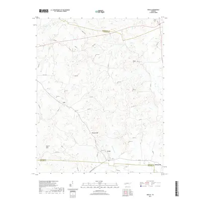
 2013 Enville2013 Print · USGSCovers Pleasant Hill, including Roby, Cabo, and other nearby areas
 - 2016 Map of Enville, 2016 Print
 2016 Enville2016 Print · USGSCovers Pleasant Hill, including Roby, Cabo, and other nearby areas
 - 2019 Map of Enville, 2019 Print
 2019 Enville2019 Print · USGSCovers Pleasant Hill, including Roby, Cabo, and other nearby areas
 - 2022 Map of Enville, 2022 Print
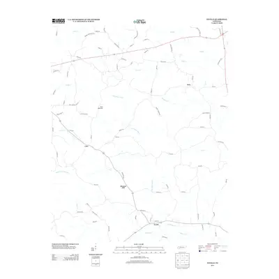
 2022 Enville2022 Print · USGSThe rural borderlands where Henderson, Chester, and McNairy counties meet are shown here in modern detail. Genealogists can trace family heritage at Woodlawn Cem, Grove Springs Cem, and the small settlement of Cabo.
End of results
Showing maps 1-10 of 10
Top cities near Pleasant Hill
- Lexington historical maps
- Savannah historical maps
- Henderson historical maps
- Selmer historical maps
- Adamsville historical maps
- Crump historical maps
See more
Frequently asked questions
- What are the different types of historical maps available for Pleasant Hill?
- What is the oldest map of Pleasant Hill?
- Where can I purchase historical maps of Pleasant Hill for my home or office?
- Where can I download high-res historical maps of Pleasant Hill?
- Are there historical topographic maps available for Pleasant Hill?
- Is there historical aerial imagery available for Pleasant Hill?
- Where are historical maps of Pleasant Hill sourced from?