Old Maps of Parsons, Tennessee for Academic Research
Study the evolution of Parsons with 24 high-resolution historic maps. Whether you're teaching, researching, or modeling changes in land use, these maps provide essential visual documentation of urban, environmental, and geographic change.
- Analyze long-term change: Track patterns in development, transportation, and natural features.
- Ideal for environmental or urban studies: Support academic projects with primary historical map data.
- Use in the classroom or lab: Educators and researchers rely on these maps to bring historical context to life.
These maps are a powerful tool for teaching, research, and visualizing how Parsons has changed over the decades.
Parsons, TN maps
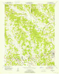
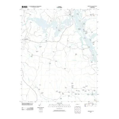
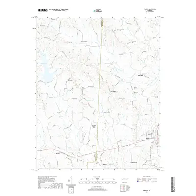
(24)- 1936 Map of Parsons
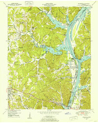
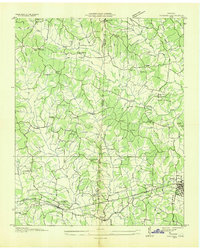 1936 Parsons1936 Print · USGSDecatur and Henderson counties are captured here in the mid-1930s, showing a landscape defined by the Nashville Chattanooga and St Louis Railway. Trace family history across rural settlements and landmarks like Old Safford, Wilkinstown, and the Cedar Hill Ch & Cem.
 - 1936 Map of Jeannette
 1936 Jeannette1936 Print · USGSDecatur County's riverbank communities and hills are captured here in the mid-thirties as the Tennessee River valley underwent significant change. Genealogists and historians can locate family landmarks like Walker Cem and trace the paths to Busseltown or Bells Store.
 - 1936 Map of Perryville
 1936 Perryville1936 Print · USGSDecatur County at the height of the Great Depression shows a river-dependent landscape centered on the Tennessee River. Researchers can locate several river landings and crossings, including Perryville Ferry and Mt Zion Cem.
 - 1949 Map of Perryville, 1952 Print
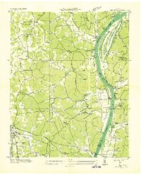
 1949 Perryville1952 Print · USGSDecatur County was undergoing significant transformation in the late 1940s as the Tennessee River valley adjusted to the creation of Kentucky Lake. Researchers can trace historic river landings like Jennings Bluff Landing, early industry at the Furnace, and rural landmarks such as Cypress Creek School.3 unique versions available
 - 1949 Map of Jeannette, 1953 Print
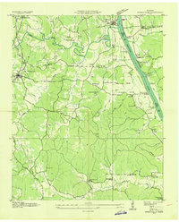
 1949 Jeannette1953 Print · USGSDecatur County's riverfront landscape is shown here in the late 1940s as the Tennessee River valley adjusted to the presence of Kentucky Lake. Genealogists and historians can trace family locations through Rocky Hill School, Salem Ch, and the Dismantled RR near Parsons.2 unique versions available
 - 1950 Map of Parsons, 1953 Print
 1950 Parsons1953 Print · USGSThe rural communities and creek-side settlements of West Tennessee are well-documented here just after the war. Family historians can trace the locations of Mt Ararat Church, Central School, and Hayes Cemetery across the Henderson and Decatur County line.2 unique versions available
 - 1956 Map of Blytheville, 1964 Print
 1956 Blytheville1964 Print · USGSWest Tennessee and the Arkansas Delta come alive in this mid-century survey of the river-and-rail corridor connecting Memphis to Jackson. Genealogists and historians can trace the rail lines of the Louisville and Nashville RR and locate landmarks like Western State Hospital or Fort Pillow State Prison Farm.2 unique versions available
 - 1959 Map of Blytheville
 1959 Blytheville1959 Print · USGSWest Tennessee and Northeast Arkansas meet along the river in the late fifties, during a period of steady industrial and agricultural growth. Genealogists can trace the rail corridors of the Illinois Central through Jackson or explore landmarks like Shiloh National Military Park and Fort Pillow State Prison.
 - 1986 Map of Milan
 1986 Milan1986 Print · USGSWest Tennessee in the mid-eighties shows a landscape defined by industrial military sites and expansive state forests. Trace the rail lines of the Seaboard System RR, locate the Milan Arsenal, or explore the protected lands of Natchez Trace State Forest.2 unique versions available
 - 2010 Map of Jeannette, 2010 Print
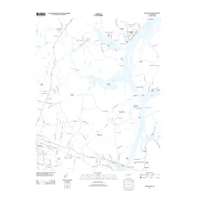
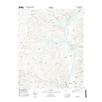
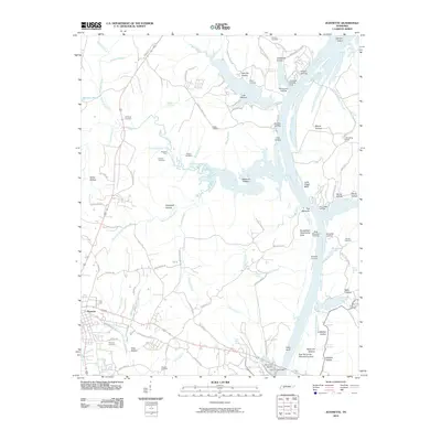 2010 Jeannette2010 Print · USGSCovers Parsons, including Jeannette, Howard, and other nearby areas
 - 2010 Map of Parsons, 2010 Print
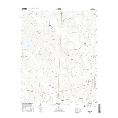
 2010 Parsons2010 Print · USGSCovers Parsons, including Darden, Five Forks, and other nearby areas
 - 2010 Map of Perryville, 2010 Print
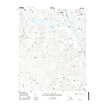
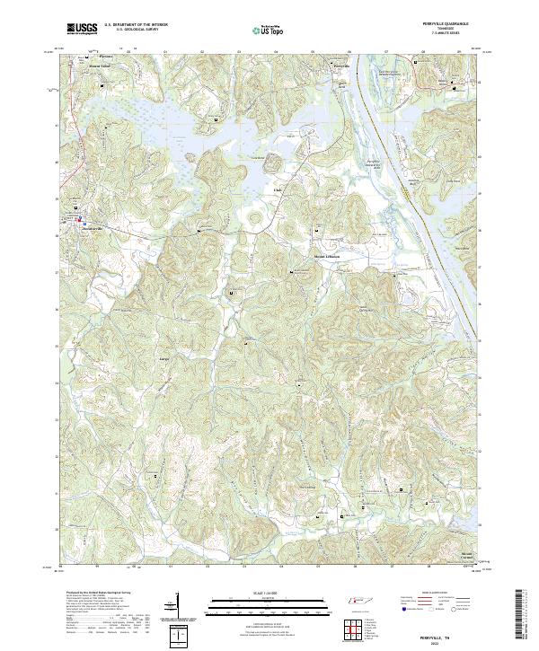
 2010 Perryville2010 Print · USGSCovers Parsons, including Decaturville, Mount Tabor, and other nearby areas
 - 2013 Map of Jeannette, 2013 Print
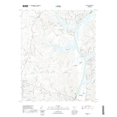
 2013 Jeannette2013 Print · USGSCovers Parsons, including Jeannette, Howard, and other nearby areas
 - 2013 Map of Perryville, 2013 Print
 2013 Perryville2013 Print · USGSCovers Parsons, including Decaturville, Mount Tabor, and other nearby areas
 - 2013 Map of Parsons, 2013 Print
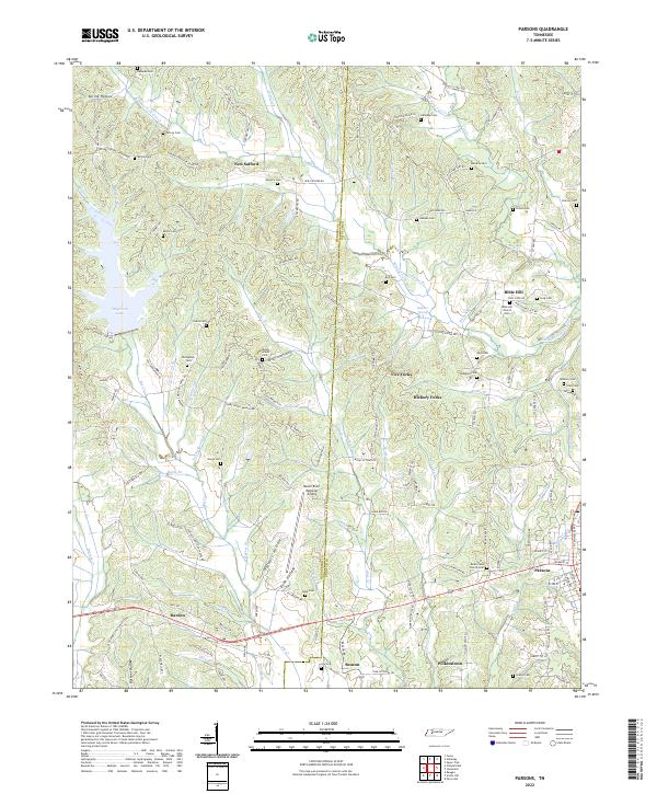
 2013 Parsons2013 Print · USGSCovers Parsons, including Darden, Five Forks, and other nearby areas
 - 2016 Map of Parsons, 2016 Print
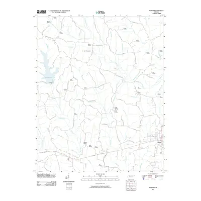
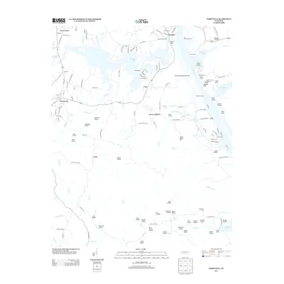
 2016 Parsons2016 Print · USGSCovers Parsons, including Darden, Five Forks, and other nearby areas
 - 2016 Map of Perryville, 2016 Print
 2016 Perryville2016 Print · USGSCovers Parsons, including Decaturville, Mount Tabor, and other nearby areas
 - 2016 Map of Jeannette, 2016 Print
 2016 Jeannette2016 Print · USGSCovers Parsons, including Jeannette, Howard, and other nearby areas
 - 2019 Map of Jeannette, 2019 Print
 2019 Jeannette2019 Print · USGSCovers Parsons, including Jeannette, Howard, and other nearby areas
 - 2019 Map of Parsons, 2019 Print
 2019 Parsons2019 Print · USGSCovers Parsons, including Darden, Five Forks, and other nearby areas
 - 2019 Map of Perryville, 2019 Print
 2019 Perryville2019 Print · USGSCovers Parsons, including Decaturville, Mount Tabor, and other nearby areas
 - 2022 Map of Perryville, 2022 Print
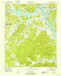
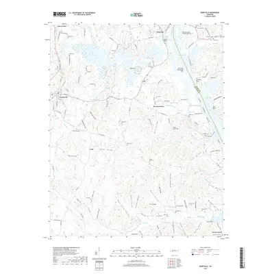
 2022 Perryville2022 Print · USGSDecatur County, Tennessee, is defined here by the wide reaches of Kentucky Lake and the Tennessee River. Researchers can trace family ties through numerous rural burial sites including Luton Cem and the Decaturville City Cem.
 - 2022 Map of Parsons, 2022 Print
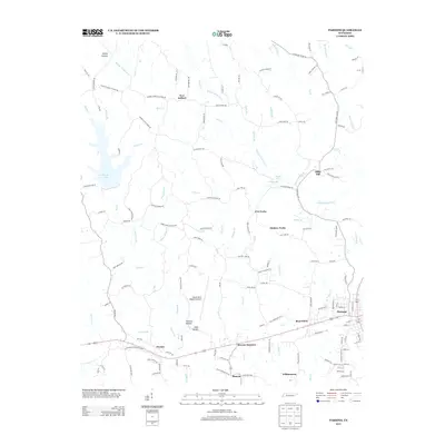
 2022 Parsons2022 Print · USGSCrossing the county line between Henderson and Decatur during the early 2020s, this area shows a landscape of creek-fed hollows and tight-knit rural settlements. Genealogists can locate numerous family burial sites and country congregations like Mount Ararat Cem and Bible Hill Church.
 - 2022 Map of Jeannette, 2022 Print
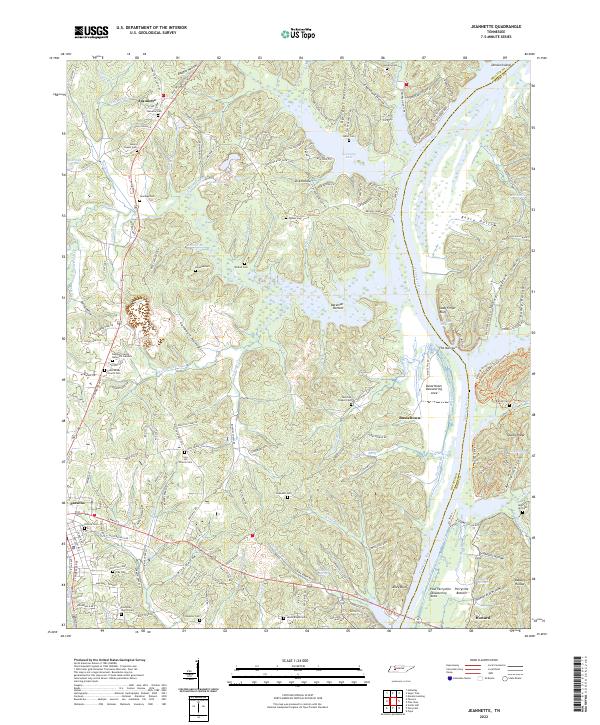 2022 Jeannette2022 Print · USGSThe Tennessee River valley south of the interstate comes to life in this survey of Decatur County. Genealogists and local historians can trace family landmarks and rural congregations at Bunches Chapel Cem, Busseltown, and Iron Hill Church Cem.
End of results
Showing maps 1-24 of 24
Top cities near Parsons
Top neighborhoods of Parsons
Frequently asked questions
- What are the different types of historical maps available for Parsons?
- What is the oldest map of Parsons?
- Where can I purchase historical maps of Parsons for my home or office?
- Where can I download high-res historical maps of Parsons?
- Are there historical topographic maps available for Parsons?
- Is there historical aerial imagery available for Parsons?
- Where are historical maps of Parsons sourced from?