Old Maps of Vanleer, Tennessee for Hiking & Exploration
Hike through history with 15 historic maps of Vanleer. Explore old trails, ghost towns, and forgotten backroads — perfect for outdoor adventurers and local explorers.
- Rediscover forgotten places: Map out old mining camps, roads, and footpaths that no longer exist on modern maps.
- Layer with modern tools: Combine with LiDAR or satellite views to plan hikes through historical terrain.
- Made for exploration: Popular among hikers, overlanders, and local history lovers.
Use these maps to find adventure and explore the hidden past of Vanleer.
Vanleer, TN maps
(15)- 1956 Map of Nashville, 1971 Print
 1956 Nashville1971 Print · USGSThe Tennessee-Kentucky borderlands come into focus in the mid-1960s as major reservoir projects transformed the Cumberland and Tennessee river valleys. Researchers can trace the rail networks of the Louisville and Nashville and visit sites like Fort Campbell and Fort Donelson National Military Park.2 unique versions available
 - 1958 Map of Vanleer, 1959 Print
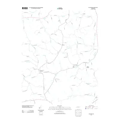
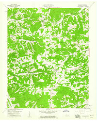 1958 Vanleer1959 Print · USGSMid-century Dickson County comes into focus in this late 1950s record of rural Tennessee uplands and ridge-top settlements. Genealogists can trace family heritage through numerous burial sites like Walker Cem and Taylor Cem or the namesake Vanleer townsite.3 unique versions available
 - 1958 Map of Slayden, 1959 Print
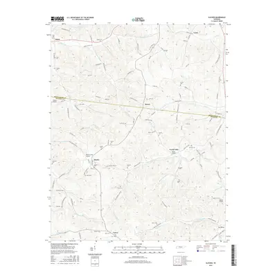
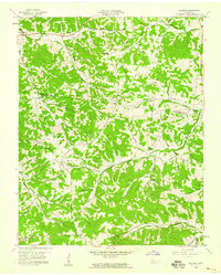 1958 Slayden1959 Print · USGSThe rural borderlands of Montgomery and Dickson counties are captured here in the late 1950s. Genealogists and historians can trace family locations through numerous sites like Schmittou Cem and Dunn Chapel or follow the Old Railroad Grade.2 unique versions available
 - 1959 Map of Nashville
 1959 Nashville1959 Print · USGSMiddle Tennessee and Southern Kentucky come into focus during the late fifties, showing the region's transition into a modern transportation and military hub. Researchers can trace the sprawling Fort Campbell Military Reservation or locate historic rail stops along the Tennessee Central Ry and Illinois Central RR.
 - 1985 Map of Dickson
 1985 Dickson1985 Print · USGSMid-Tennessee in the mid-1980s was defined by the intersection of the Cumberland and Tennessee rivers and a massive network of wildlife refuges. Researchers can trace the Seaboard System rail lines connecting Waverly, Dickson, and White Bluff, or locate old landmarks near Fort Donelson National Military Park.
 - 2010 Map of Vanleer, 2010 Print
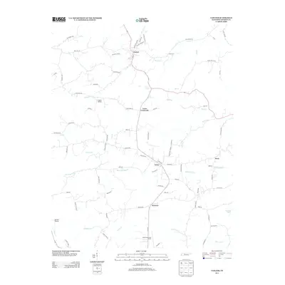
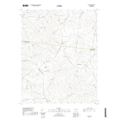
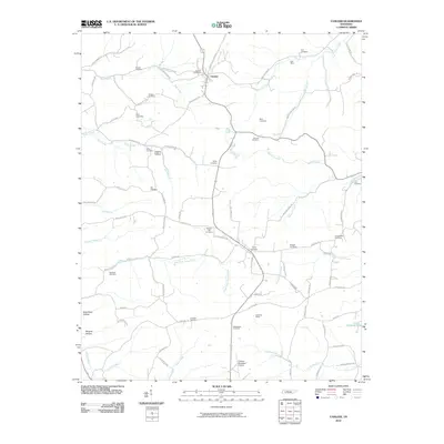 2010 Vanleer2010 Print · USGSCovers Vanleer, including Sylvia, Berry, and other nearby areas
 - 2010 Map of Slayden, 2010 Print
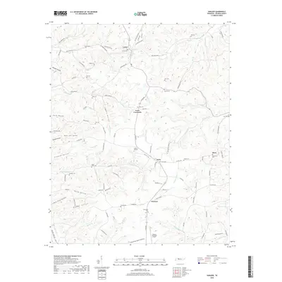
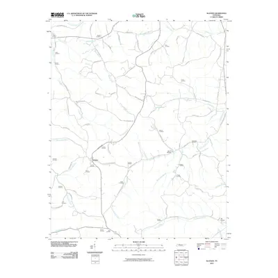 2010 Slayden2010 Print · USGSCovers Vanleer, including Slayden, Woods Valley, and other nearby areas
 - 2013 Map of Slayden, 2013 Print
 2013 Slayden2013 Print · USGSCovers Vanleer, including Slayden, Woods Valley, and other nearby areas
 - 2013 Map of Vanleer, 2013 Print
 2013 Vanleer2013 Print · USGSCovers Vanleer, including Sylvia, Berry, and other nearby areas
 - 2016 Map of Vanleer, 2016 Print
 2016 Vanleer2016 Print · USGSCovers Vanleer, including Sylvia, Berry, and other nearby areas
 - 2016 Map of Slayden, 2016 Print
 2016 Slayden2016 Print · USGSCovers Vanleer, including Slayden, Woods Valley, and other nearby areas
 - 2019 Map of Slayden, 2019 Print
 2019 Slayden2019 Print · USGSCovers Vanleer, including Slayden, Woods Valley, and other nearby areas
 - 2019 Map of Vanleer, 2019 Print
 2019 Vanleer2019 Print · USGSCovers Vanleer, including Sylvia, Berry, and other nearby areas
 - 2022 Map of Slayden, 2022 Print
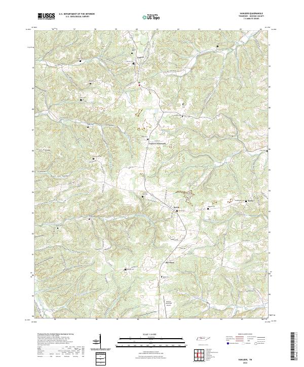
 2022 Slayden2022 Print · USGSThe rural borderlands between Dickson and Montgomery counties appear here in modern detail, preserving a landscape defined by old creek valleys and family homesteads. Researchers can trace dozens of lineage sites including the Schmittou Foster Cem, Bethel Cem, and the community of Slayden.
 - 2022 Map of Vanleer, 2022 Print
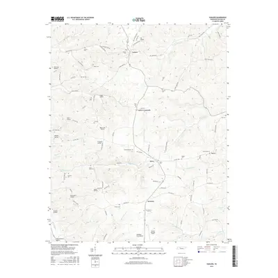
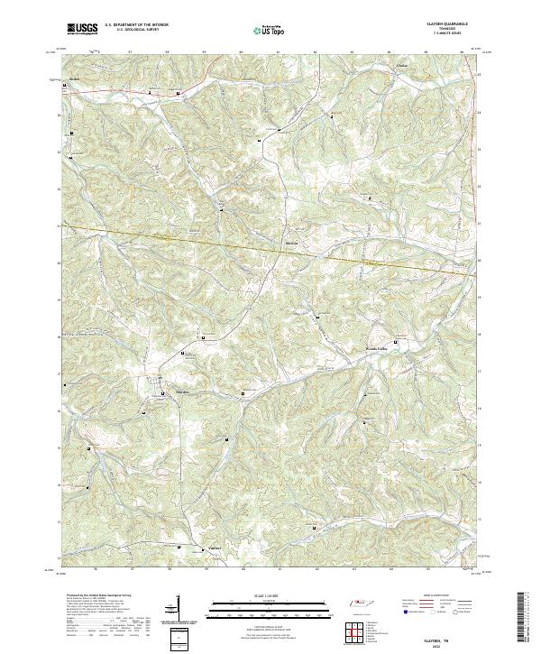
 2022 Vanleer2022 Print · USGSDickson County near the modern era maintains its rural character through a web of hollows and small crossroads settlements. Researchers can locate numerous family burial sites like Bull Cem and Baggett Cem or trace the drainage of Sulphur Fork Cr.
End of results
Showing maps 1-15 of 15
Top cities near Vanleer
- Dickson historical maps
- White Bluff historical maps
- Burns historical maps
- Erin historical maps
- Charlotte historical maps
- Cumberland City historical maps
See more
Frequently asked questions
- What are the different types of historical maps available for Vanleer?
- What is the oldest map of Vanleer?
- Where can I purchase historical maps of Vanleer for my home or office?
- Where can I download high-res historical maps of Vanleer?
- Are there historical topographic maps available for Vanleer?
- Is there historical aerial imagery available for Vanleer?
- Where are historical maps of Vanleer sourced from?