2000s (21st Century) Maps of Vanleer, Tennessee
Explore 10 historic maps of Vanleer from the 2000s (21st Century). These maps offer a rare glimpse into what life looked like during the 2000s — showing old roads, neighborhoods, homes, and landmarks that have changed or disappeared over time.
Whether you're researching your family's past, planning a metal detecting trip, or studying how Vanleer's landscape evolved across the 2000s, these high-resolution maps are a powerful tool for exploring the history of this region.
- Focus on a specific era: All maps on this page are from the 2000s, giving you a focused view of this time period.
- See what’s changed: Compare century-old streets, trails, and buildings to today's modern landscape using overlays and satellite layers.
- Research with precision: Use these maps for genealogy, historical research, land use analysis, or educational projects.
- View, download, or print: Maps are fully viewable online in high resolution, and can be downloaded or printed for your own records.
Start exploring Vanleer's history through authentic maps from the 2000s. This is your window into the past.
Vanleer, TN maps
(10)- 2010 Map of Vanleer, 2010 Print
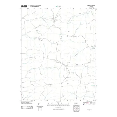 2010 Vanleer2010 Print · USGSCovers Vanleer, including Sylvia, Berry, and other nearby areas
 - 2010 Map of Slayden, 2010 Print
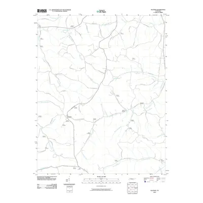 2010 Slayden2010 Print · USGSCovers Vanleer, including Slayden, Woods Valley, and other nearby areas
 - 2013 Map of Slayden, 2013 Print
 2013 Slayden2013 Print · USGSCovers Vanleer, including Slayden, Woods Valley, and other nearby areas
 - 2013 Map of Vanleer, 2013 Print
 2013 Vanleer2013 Print · USGSCovers Vanleer, including Sylvia, Berry, and other nearby areas
 - 2016 Map of Vanleer, 2016 Print
 2016 Vanleer2016 Print · USGSCovers Vanleer, including Sylvia, Berry, and other nearby areas
 - 2016 Map of Slayden, 2016 Print
 2016 Slayden2016 Print · USGSCovers Vanleer, including Slayden, Woods Valley, and other nearby areas
 - 2019 Map of Slayden, 2019 Print
 2019 Slayden2019 Print · USGSCovers Vanleer, including Slayden, Woods Valley, and other nearby areas
 - 2019 Map of Vanleer, 2019 Print
 2019 Vanleer2019 Print · USGSCovers Vanleer, including Sylvia, Berry, and other nearby areas
 - 2022 Map of Slayden, 2022 Print
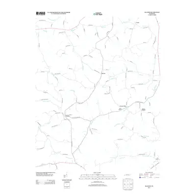
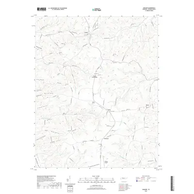
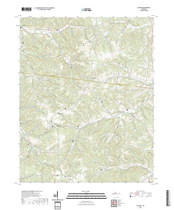 2022 Slayden2022 Print · USGSThe rural borderlands between Dickson and Montgomery counties appear here in modern detail, preserving a landscape defined by old creek valleys and family homesteads. Researchers can trace dozens of lineage sites including the Schmittou Foster Cem, Bethel Cem, and the community of Slayden.
 - 2022 Map of Vanleer, 2022 Print
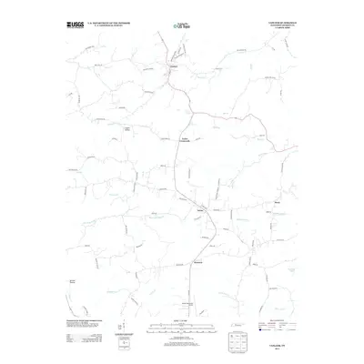
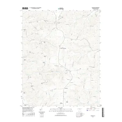
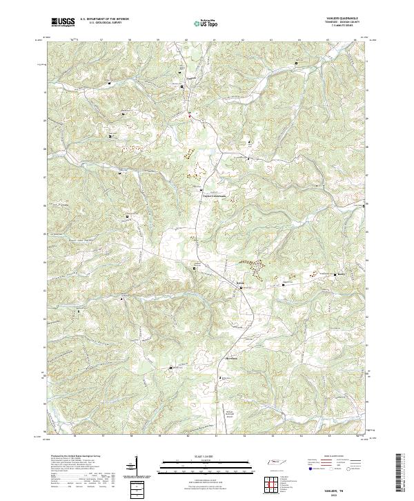 2022 Vanleer2022 Print · USGSDickson County near the modern era maintains its rural character through a web of hollows and small crossroads settlements. Researchers can locate numerous family burial sites like Bull Cem and Baggett Cem or trace the drainage of Sulphur Fork Cr.
End of results
Showing maps 1-10 of 10
Top cities near Vanleer
- Dickson historical maps
- White Bluff historical maps
- Burns historical maps
- Erin historical maps
- Charlotte historical maps
- Cumberland City historical maps
See more
Frequently asked questions
- What are the different types of historical maps available for Vanleer?
- What is the oldest map of Vanleer?
- Where can I purchase historical maps of Vanleer for my home or office?
- Where can I download high-res historical maps of Vanleer?
- Are there historical topographic maps available for Vanleer?
- Is there historical aerial imagery available for Vanleer?
- Where are historical maps of Vanleer sourced from?